Forestry GIS Services

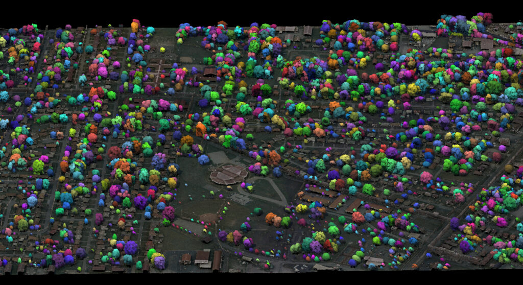
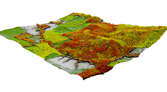
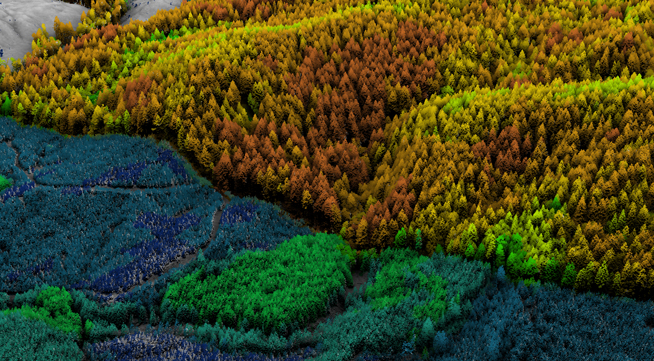
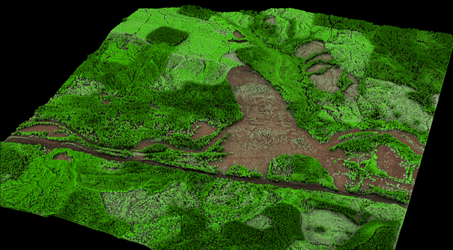
Understand forest characterization with our proven remote sensing technology, providing analysis for inventory, speciation, biomass fire risk and more
See the Forest and the Trees
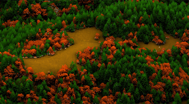
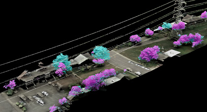
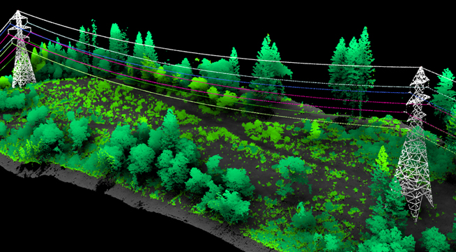
Fusing Data on Doomed Ash Trees
NV5 Geospatial has developed a unique suite of analytical tools to model individual trees and characterize large-scale forest structure using lidar point cloud, hyperspectral and orthoimagery. We acquire data and derive essential forest information over large areas, reducing the amount of time and resources typically dedicated to a traditional field-based inventory. Our analyses provide valuable tree and stand metrics such as tree height, canopy cover, stem density, and crown area in both forest and urban settings. Incorporating these modeled parameters guide timber management practices, supports habitat conservation efforts, and improves efficiency of ground surveys and research plot placement. Through our forestry GIS services, we provide invaluable expertise and consultation on appropriate technology, specifications, accuracy and resolution, and data products for virtually any landscape or application. Our experience and expertise will help match the best technological solution to your forest and resource mapping needs.
Individual Tree Delineation & Attribution
Calculate and catalog valuable forest metrics such as tree height, canopy cover, stem density, and crown area for individual trees in both forest and urban settings. NV5 Geospatial has developed cutting-edge methodology that generates forest metrics directly from lidar points, which produces an accurate, detailed tree databases for entire study areas.
Forest Stratification
Through our forestry GIS services, we model forest structure and use the results to make management decisions. When aggregated, individual tree metrics produce nuanced analysis of forest characterization. Incorporating NV5 Geospatial’s forest models aids timber management practices, supports habitat conservation efforts, and improves efficiency of ground surveys and research plot placement.
Tree Species Identification
Enhance forest structure modeling, and categorize risk in vegetation management via species identification. NV5 Geospatial is a pioneer in using hyperspectral imaging in combination with lidar to determine tree species.
Urban Forest Inventories
Maintain urban forest health through NV5 Geospatial’s efficient and accurate approach that identify individual trees are assigned a unique tree ID, and additional metrics relating to tree height, canopy height, canopy cover, stem density, and crown area are calculated directly from our lidar data, resulting in precise calculations.
Wildfire Modeling
Forest metrics from lidar provide valuable information in the application of land use and management practices, fire suppression planning and fuel loading calculations. High resolution lidar also provides detailed terrain models for the determination of slope and aspect, as well as the identification of access roads delineation.
Vegetation Management Applications
Apply NV5 Geospatial’s tree analysis to vegetation management practices. We have developed comprehensive programs for electrical utility corridors, oil and gas pipelines, and airport operations. lidar based vegetation management provides a fast, safe, and cost competitive approach that increases efficiency of management efforts, decreases underlisting of potential risks, and reduces the amount of time and money spent on mitigation efforts.