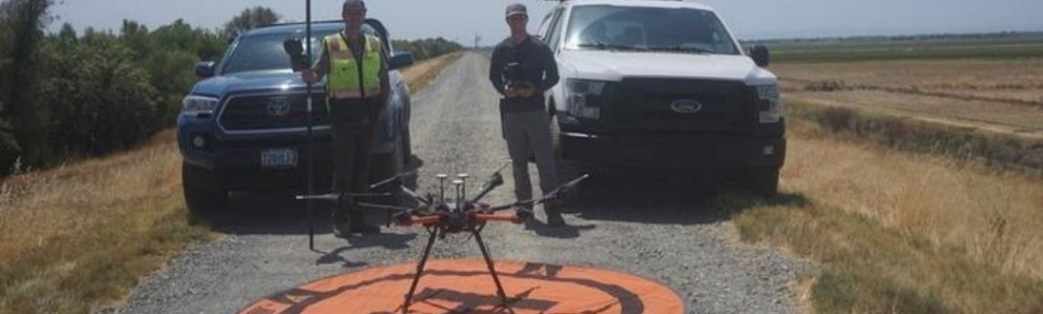
Dan Cassell, Field Support from Quantum Spatial an NV5 company, and Dylan Robbins, Unmanned Aircraft Systems (UAS) pilot from NV5, collaborated to complete orthophotography and lidar of a 6 mile canal/channel waterway off El Centro Blvd. in Sacramento, CA. This project was performed for a Quantum Spatial client to complete a topographic survey for planning the redesign of their fish farm.