LiDAR aids conservation efforts for the threatened marbled murrelet!

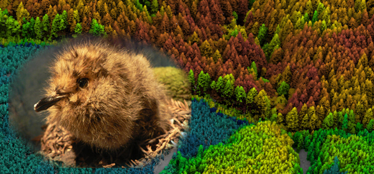
It’s so exciting to see Quantum Spatial’s LiDAR data come to fruition in helping wildlife biologists and forest managers better understand coastal old-growth canopy structure and habitat for elusive listed species such as the Marbled Murrelet!  Similar to the Spotted Owl, these birds depend on old-growth forest and prefer large trees and complex multiple layers of canopy foliage at heights beyond the reach of field biologists.  Until LiDAR, there has been no objective and repeatable way of estimating available habitat and predicting the occurrence of nesting birds.  Using LiDAR data collected in 2008 by Quantum SpatiaI for the BLM and Oregon LiDAR Consortium along the southern Oregon Coast, Wildlife ecologists Joan Hagar, Patricia Haggerty (USGS, Corvallis, OR) and Dave Vesely (Oregon Wildlife Institute) have illustrated the power of LiDAR to accurately characterize and map murrelet habitat and predict nesting birds’ occurrence.  This is a great advancement in wildlife management for a complex 3-D habitat that until now has been essentially inaccessible to field biologists and forest managers who are used to using traditional methods of measuring basal area, timber volume and endlessly craning their necks to quantify murrelet habitat.  Hagar and colleagues highly recommend using LiDAR as a predictive tool for the occurrence of other threatened and endangered forest-dwelling species.

Quantum Spatial has a legacy of developing analytics to aid conservation efforts through the assessment of wildlife habitat. Check out an overview of what we provide for environmental sciences and natural resource management.

Read the full article in GIM International: HERE

Fill out the form below to download the handbook.

Form #1 - Redirection to PDF

Form #2 - Sends email containing the link to the PDF

"*" indicates required fields

This field is for validation purposes and should be left unchanged.

eNewsletter - NV5 Real Estate Transaction Services

Contact NV5 Real Estate Transaction Services

Download NV5 2022 Compliance Calendar

Please fill out the form below. After successful form submission, you will be redirected to the requested file. Thank you.

  • We are an equal opportunity employer. All applicants will be considered for employment without attention to race, color, religion, sex, sexual orientation, gender identity, national origin, veteran or disability status. We ensure nondiscrimination in all programs and activities in accordance with Title VI of the United States Civil Rights Act of 1964. If you need more information or special assistance for persons with disabilities or limited English proficiency, contact MaryJo OBrien at (954) 495-2112. Persons with hearing-and speech-impairments can contact the NV5 by using the Virginia Relay Service, a toll-free telecommunication device for the deaf (TDD). Call 711 for TTY/TDD.

Hyperspectral Imaging - Technically Speaking

Our internal innovation and development team constantly analyzes new technology and develops solutions to meet our client’s challenges. Our Technically Speaking series is one way we share our technical findings with the professional community. 

Please tell us a little about yourself by filling out the form below, and we’ll share the document with you, thanks!

Accuracy Part 1- Technically Speaking

Our internal innovation and development team constantly analyzes new technology and develops solutions to meet our client’s challenges. Our Technically Speaking series is one way we share our technical findings with the professional community. 

Please tell us a little about yourself by filling out the form below, and we’ll share the document with you, thanks!

Prune Optimization Webinar Recording

NV5 Geospatial releases a new predictive modeling platform for vegetation management that uses existing lidar and historical data to identify the relative level of asset risk from trees by quantifying the potential for causing asset damage. 

Please tell us a little about yourself by filling out the form below, and we’ll share the document with you, thanks!

Topobathy Lidar - Technically Speaking

Our internal innovation and development team constantly analyzes new technology and develops solutions to meet our client’s challenges. Our Technically Speaking series is one way we share our technical findings with the professional community. 

Please tell us a little about yourself by filling out the form below, and we’ll share the document with you, thanks!

Contact Geospatial

Contact Geospatial