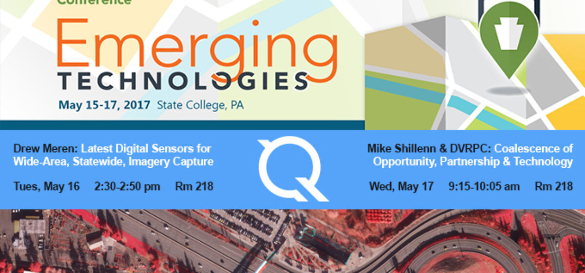
We’re excited to attend the PA GIS Conference, from May 15-17. We’re looking forward to learn more about emerging technologies across the industry as well as sharing some of our own insights and innovations including our work with orthoimagery, LiDAR, and eGIS analytics and applications. Attend one of our presentations, or visit us at booth #10 in the exhibit hall.
Drew Meren presents: Latest Digital Sensors for Wide-Area, Statewide, Imagery CaptureTuesday, May 162:30 – 2:50 pmRoom 218
The breadth and capability of today’s large format digital imaging sensors delivers measurable improvements and increased efficiency for statewide imagery programs even from just five years ago. These sensors have been designed for rapid wide-area imaging of the landscape and the built environment operating in the visible and near-infrared portion of the spectrum at high degrees of radiometric precision. Sensors can be broken into two general classes of technology: the first is frame-based digital camera technology, and the second class is linear array or “push broom” camera technology. Both camera systems offer unique competitive advantages for given applications; but with many options available to project stakeholders, having introductory knowledge on how these systems operate and how to leverage the data is valuable for successful imagery program execution.
Mike Shillenn co-presents with Glenn McNichol of DVRPC: Coalescence of Opportunity, Partnership and TechnologyWednesday, May 179:15-10:05 amRoom 218
In 2015, the coalescence of opportunity, partnerships and technology presented unique circumstances that resulted in the development of high resolution digital orthoimagery and USGS compliant QL2 LiDAR covering the greater Delaware Valley Region. The Delaware Valley Regional Planning Commission (DVRPC), working with its member counties, the U.S. Geological Survey (USGS) and the U.S. Army Corps of Engineers, optimized cost sharing among disparate partners. This substantially reduced DVRPC’s funding requirements for its 2015 orthoimagery project, while applying those savings to then partner with a leading private sector geospatial services firm to create the 2015 Delaware Valley LiDAR High Density LiDAR Initiative under the auspices of the USGS 3DEP Program. Consequently, a follow on public-private partnership was facilitated in 2016 leading to the co-development and funding of a shared impervious surface dataset for the Pennsylvania portion of the DVRPC region derived from the 2015 imagery and LiDAR datasets. This session will provide details on the circumstances, participants, challenges, approach and outcomes behind the formation of collaborative partnerships that ultimately resulted in the cost effective development of new authoritative geospatial data in the Delaware Valley.
We hope to see you there!