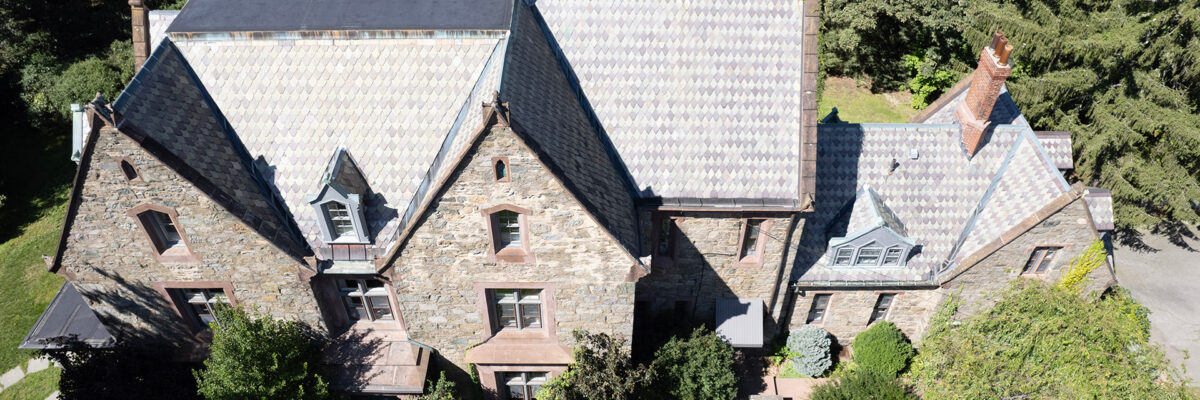
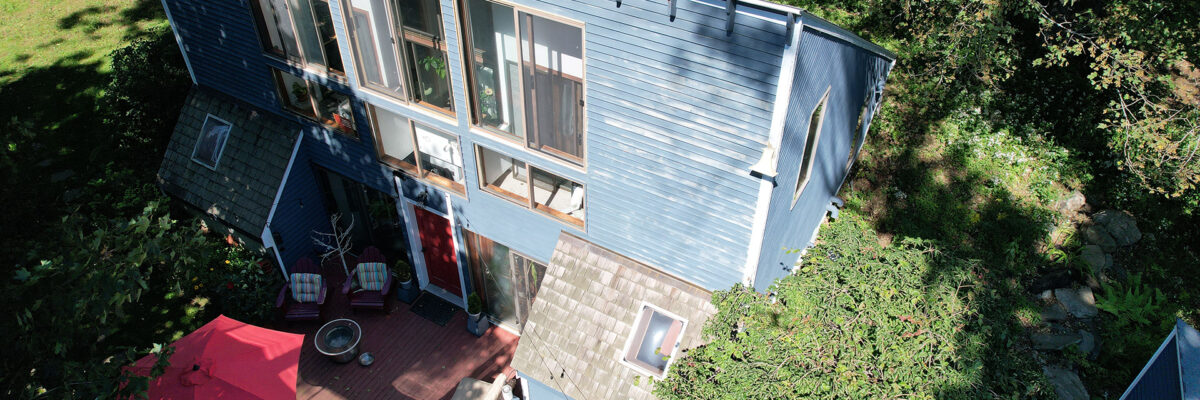
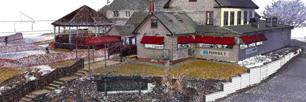
The mansion was captured across five levels—including basement and attic—using a combination of Trimble X9 stationary scanning and DJI Mavic 3E drone imagery. The scanning strategy balanced precision and efficiency, using stationary equipment for intricate areas and mobile workflows for broader coverage. For example, the attic, accessible only by pull-down[...]
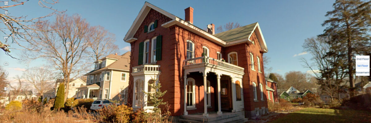
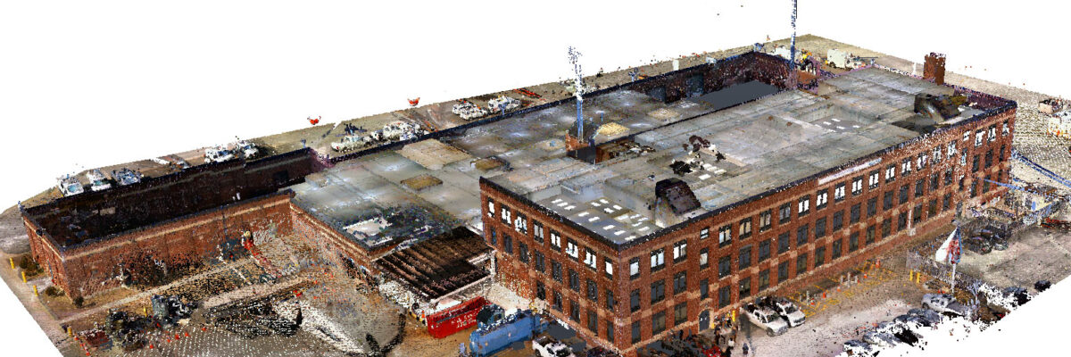
Scanning was completed in two hours using a combination of NavVis VLX 3 for interior coverage and a Trimble X9 tripod scanner for the exterior. The team used stationary scanning to capture detailed brickwork with greater precision, while mobile workflows allowed efficient documentation across three levels. We produced a point[...]
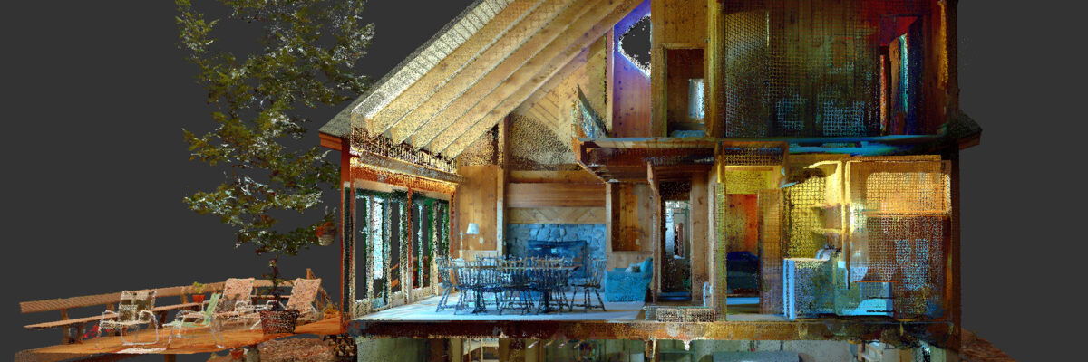
We scanned a two-story lakefront residence using the NavVis VLX mobile and Trimble X7 tripod scanners, along with a DJI Phantom 4 Pro drone, completing the capture in under two hours. Deliverables included a point cloud, a Revit model, and a virtual tour. The home featured knotty pine interior walls[...]
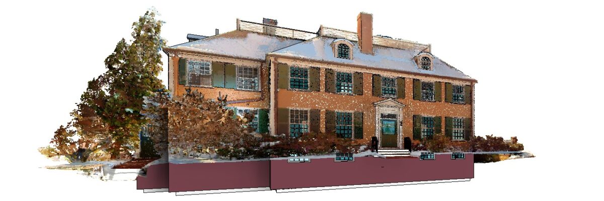
We used the NavVis VLX mobile scanner and Trimble X7 tripod to capture interior and exterior conditions of a four-story residence in Cambridge, MA. Scanning was completed in two hours. Deliverables included a point cloud, a Revit model, and a virtual tour with 200 panoramic images. The model was developed[...]
Using the NavVis VLX 3 mobile scanner and DJI Mavic 3E drone, we documented interior and exterior conditions in a single day. The deliverables included a 3D point cloud in Autodesk Recap format, a Revit model, 39 indoor panoramic images for virtual navigation, and 76 drone images for aerial inspection[...]
NV5 partnered with a regional energy provider to document existing conditions across nine active utility and administrative sites. The project supported architectural assessments, space planning, and future renovations by delivering high-precision digital records of each facility. A key challenge was coordinating access to secure and occupied buildings across multiple locations.[...]
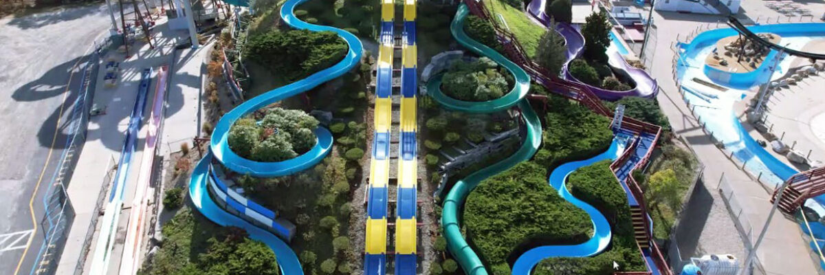
The team completed a comprehensive reality capture of the Squid Row, Hurricane Hill, and Pirate’s Plunge water slides, documenting every 76-foot high drop, twist, and turn. Utilizing a mobile scanner, stationary scanner, and drone, our team completed the capture within a day. The primary objective was to identify the sizes[...]
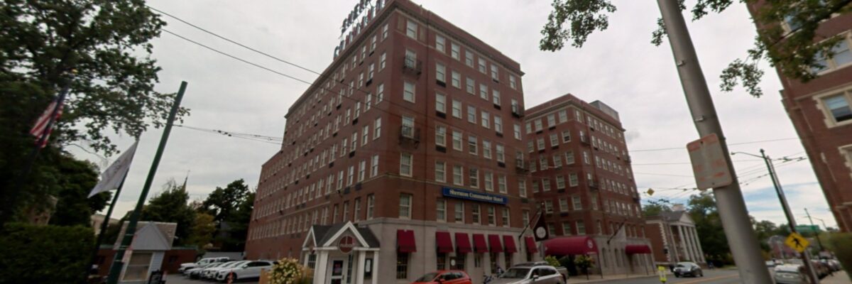
The project involved capturing the interior and exterior conditions of this six-level hotel. The team performed an aerial drone inspection of the hotel’s facade, complemented by detailed laser scanning of approximately 175 guest rooms and service areas across all levels. Also, each room’s power and telecommunication/data outlets were meticulously verified[...]
Our team completed a this reality capture and modeling project using a combination of terrestrial and aerial scanning technologies. The scope included both interior and exterior documentation, completed in a single day. Using the NavVis VLX mobile scanner and DJI Phantom 4 Pro drone, we captured high-resolution spatial data to[...]
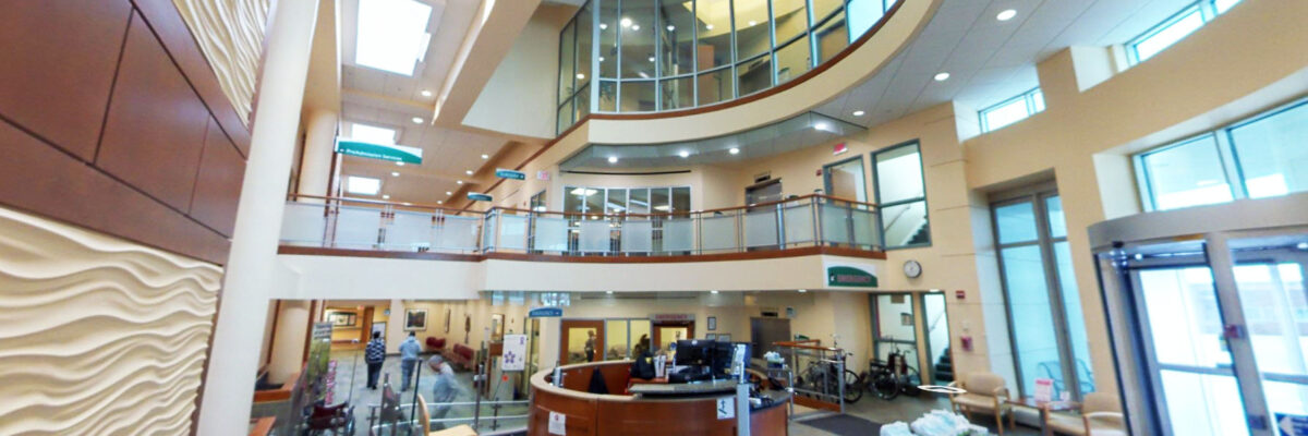
Our team supported a healthcare facility with advanced laser scanning and BIM modeling services to improve spatial documentation, renovation planning, and engineering coordination. The project focused on capturing existing conditions and transitioning legacy workflows into a modern Revit-based environment. Despite the operational environment, scanning was completed during off-peak hours to[...]
Form #2 - Sends email containing the link to the PDF
"*" indicates required fields
eNewsletter - NV5 Real Estate Transaction Services
Contact NV5 Real Estate Transaction Services
Download NV5 2022 Compliance Calendar
Please fill out the form below. After successful form submission, you will be redirected to the requested file. Thank you.
"*" indicates required fields
Hyperspectral Imaging - Technically Speaking
Our internal innovation and development team constantly analyzes new technology and develops solutions to meet our client’s challenges. Our Technically Speaking series is one way we share our technical findings with the professional community.
Please tell us a little about yourself by filling out the form below, and we’ll share the document with you, thanks!
Accuracy Part 1- Technically Speaking
Our internal innovation and development team constantly analyzes new technology and develops solutions to meet our client’s challenges. Our Technically Speaking series is one way we share our technical findings with the professional community.
Please tell us a little about yourself by filling out the form below, and we’ll share the document with you, thanks!
Prune Optimization Webinar Recording
NV5 Geospatial releases a new predictive modeling platform for vegetation management that uses existing lidar and historical data to identify the relative level of asset risk from trees by quantifying the potential for causing asset damage.
Please tell us a little about yourself by filling out the form below, and we’ll share the document with you, thanks!
Topobathy Lidar - Technically Speaking
Our internal innovation and development team constantly analyzes new technology and develops solutions to meet our client’s challenges. Our Technically Speaking series is one way we share our technical findings with the professional community.
Please tell us a little about yourself by filling out the form below, and we’ll share the document with you, thanks!