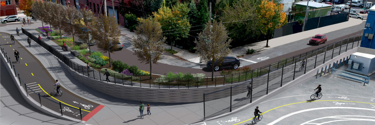
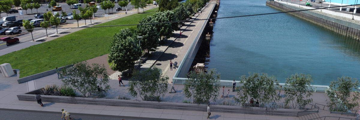
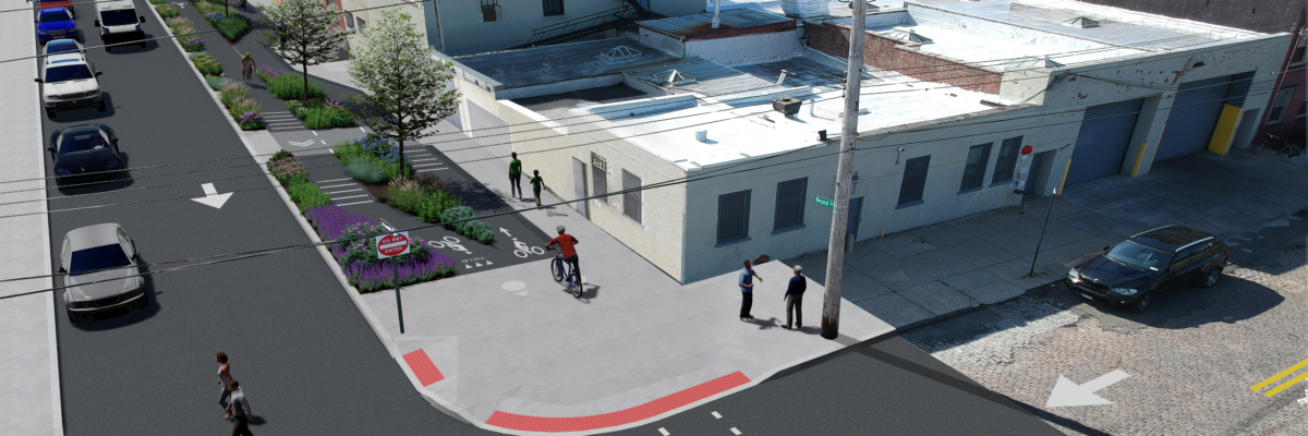
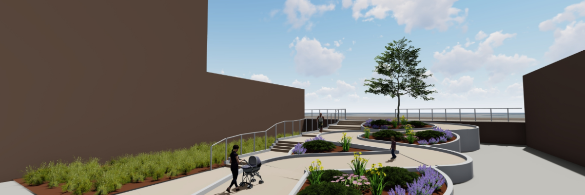
When Hurricane Sandy made landfall near New York City on October 29, 2012, the Red Hook community experienced severe coastal storm surge flooding, causing significant damage and economic losses for businesses and residential properties. To meet this challenge, NV5 has developed a straightforward approach that takes into account the physical constraints of the topography and public right-of-way while establishing a level of flood protection consistent with the study.
Lexington DB
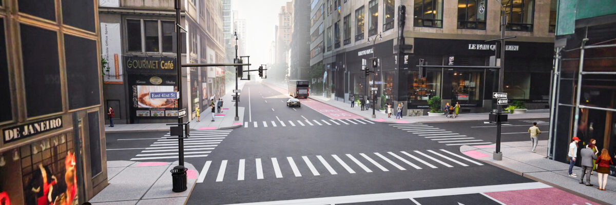
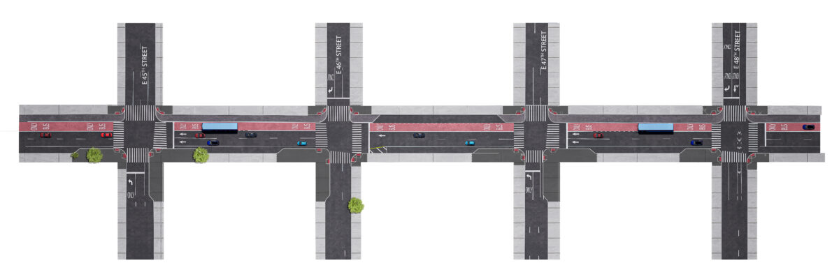
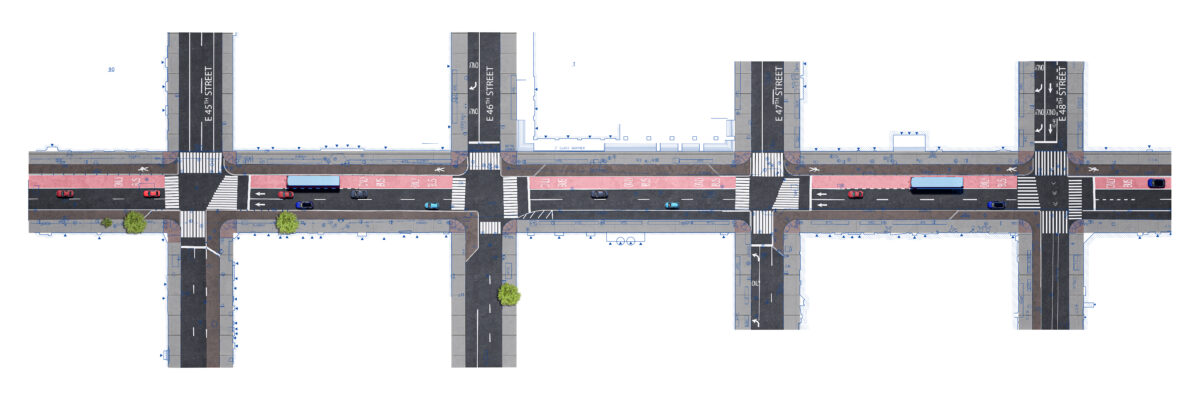
During the twentieth century, many cities, like New York, re-designed their business districts to better accommodate vehicular traffic. As part of the Vision Zero initiative, this project proposes to restore some of the grandeur with an eye towards pedestrian safety and mobility. This is also NYC First Design-Build (DB) Infrastructure project with a goal of completing the design and construction with a total of 3 years including all relocation of millions of dollars in utilities.
Scan-to-BIM Presentation
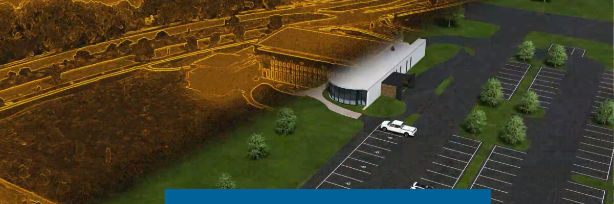
Scan-to-BIM’s goal is to create a true digital model of existing building conditions. NV5 accomplishes this by converting digital lidar point cloud of building exterior and/or interior into an as-built BIM model. The deliverable is a Revit model which gives clients the best representation of the existing facility to help avoid costly rework during building renovations.
Smith Bay Drainage Study
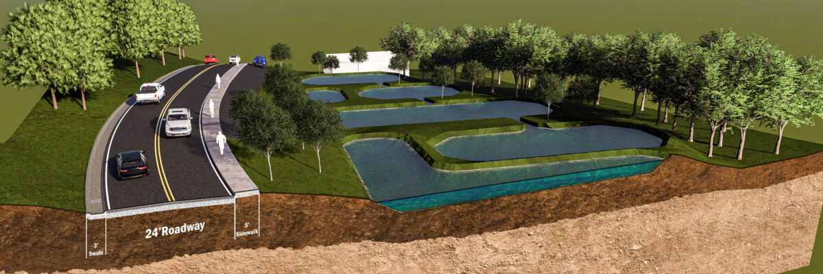
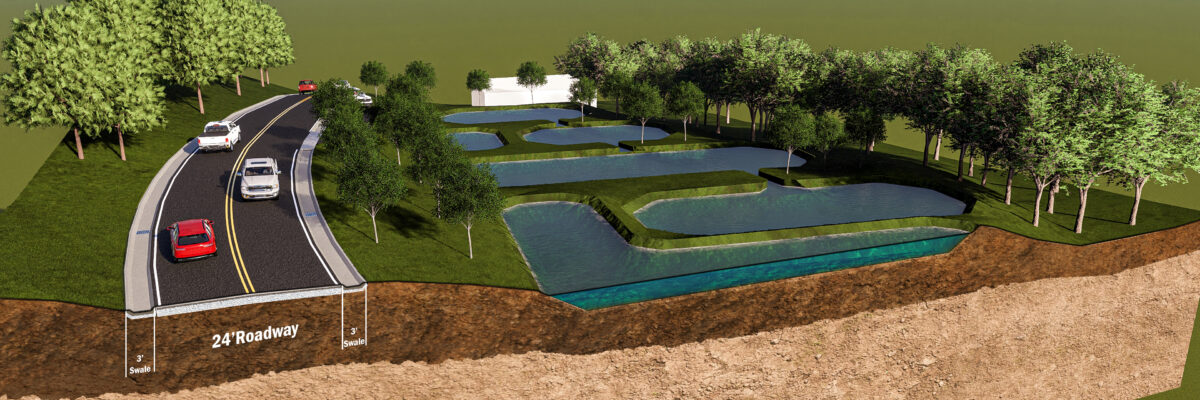
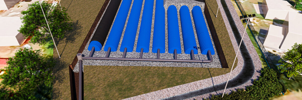
Drainage Improvements to Smith Bay is a major public works initiative that will bring much needed flood relief and flood protection to a neighborhood where frequent flooding is too often a reality. The concept is to capture the stormwater runoff that currently runs down the road and use a closed pipe system to convey it. At the upstream end of the project, a small retention basin will be constructed to act as a sediment trap. Downstream along Smith Bay Road, a system of inlets and pipes will be constructed to capture and convey stormwater down the hill to a diversion structure near the ballfield.
Coney Island Boardwalk
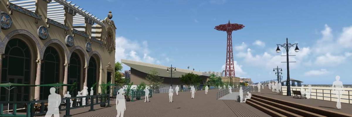
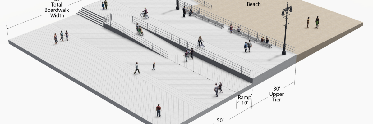
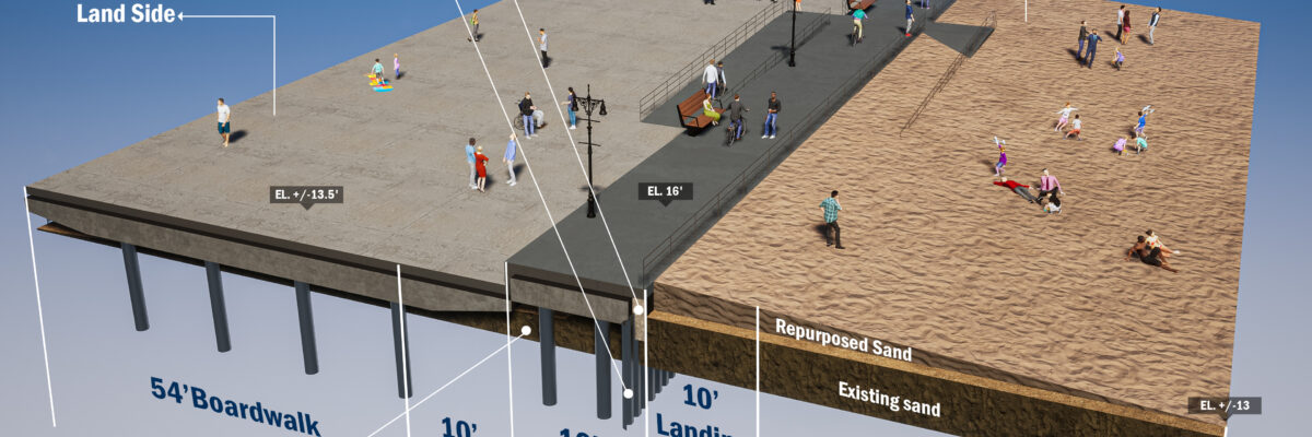
Coney Island Boardwalk, also known as Riegelmann Boardwalk, is a 2.7-mile-long boardwalk, bounded by W37th Street on its western end and Brighton 15th Street on its eastern end along the southern shore of the Coney Island peninsula. The purpose of this project is to determine the Basis of Design for the reconstruction of the boardwalk in its entirety, focused on several factors, including design flood elevation, accessibility, resiliency, and future maintenance and operations.
Bayswater Park
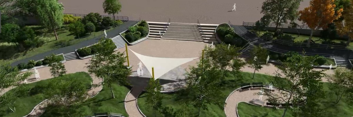
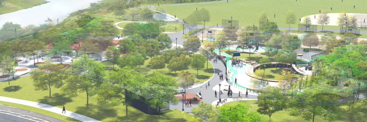
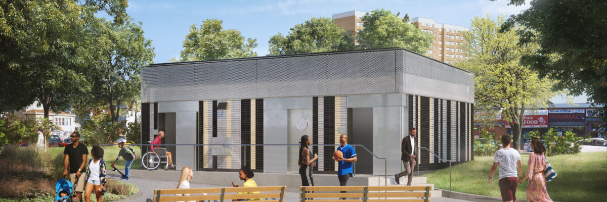
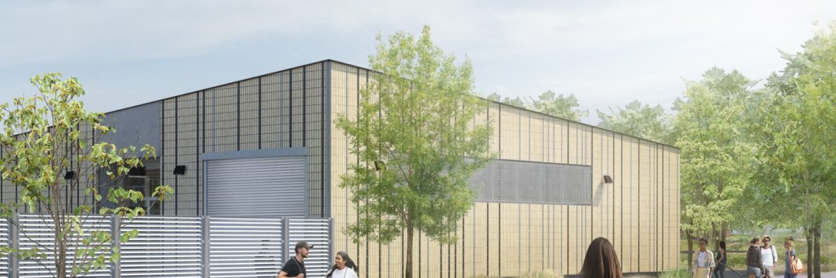
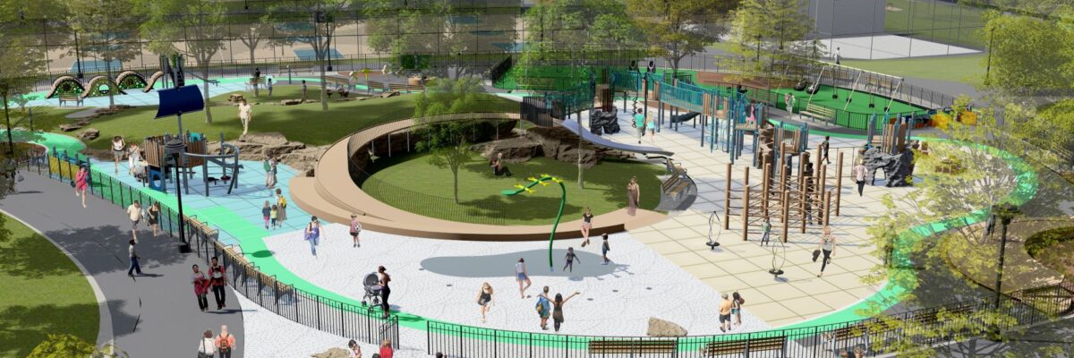
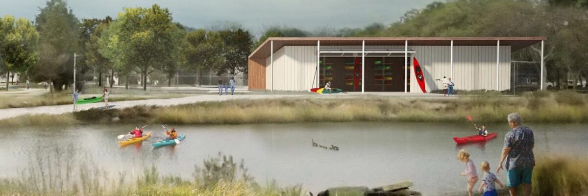
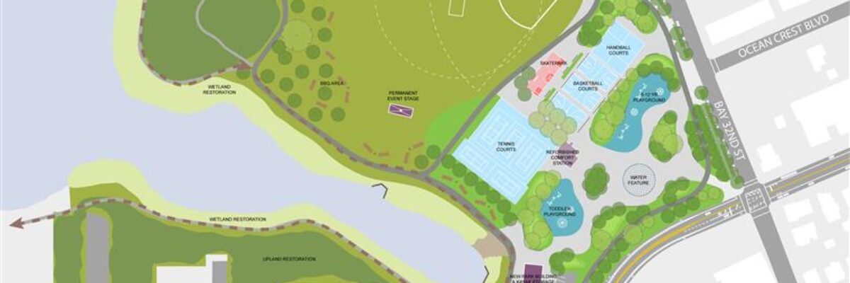
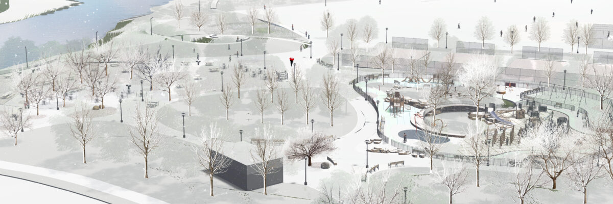
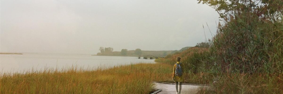
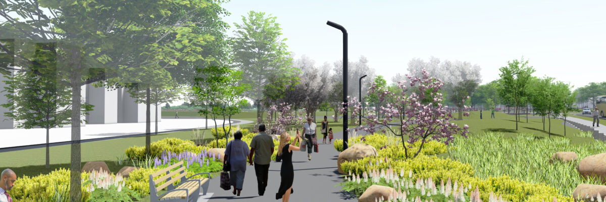
The $50+ Million FEMA-funded project is located on the shores of Jamaica Bay on the Rockaway Peninsula in Queens. This project will reconstruct the entire 25-acre park, upgrading existing features and creating new passive and active recreational features, including: new playgrounds, spray grounds, picnic areas, sports courts, athletic fields, plazas and green spaces, park entrances, walking and jogging paths and perimeter sidewalks. Also included is a new comfort station, maintenance building, kayak launch and shade pavilions. The $3.5 Million nature-themed playground with interactive spray ground and neighboring picnic area is carefully integrated into an existing grove of mature trees and grassy knolls, and is designed to maximize motor sensory and social skill development.
Fill out the form below to download the handbook.
Form #1 - Redirection to PDF
Form #2 - Sends email containing the link to the PDF
"*" indicates required fields
eNewsletter - NV5 Real Estate Transaction Services
Contact NV5 Real Estate Transaction Services
Download NV5 2022 Compliance Calendar
Please fill out the form below. After successful form submission, you will be redirected to the requested file. Thank you.
"*" indicates required fields
Hyperspectral Imaging - Technically Speaking
Our internal innovation and development team constantly analyzes new technology and develops solutions to meet our client’s challenges. Our Technically Speaking series is one way we share our technical findings with the professional community.
Please tell us a little about yourself by filling out the form below, and we’ll share the document with you, thanks!
Accuracy Part 1- Technically Speaking
Our internal innovation and development team constantly analyzes new technology and develops solutions to meet our client’s challenges. Our Technically Speaking series is one way we share our technical findings with the professional community.
Please tell us a little about yourself by filling out the form below, and we’ll share the document with you, thanks!
Prune Optimization Webinar Recording
NV5 Geospatial releases a new predictive modeling platform for vegetation management that uses existing lidar and historical data to identify the relative level of asset risk from trees by quantifying the potential for causing asset damage.
Please tell us a little about yourself by filling out the form below, and we’ll share the document with you, thanks!
Topobathy Lidar - Technically Speaking
Our internal innovation and development team constantly analyzes new technology and develops solutions to meet our client’s challenges. Our Technically Speaking series is one way we share our technical findings with the professional community.
Please tell us a little about yourself by filling out the form below, and we’ll share the document with you, thanks!