

Connecting and Protecting People, Places, and Assets for Over 35 Years
NV5 proudly welcomes Professional Systems Engineering (PSE), a nationally acclaimed leader in technology consulting and engineering, to our growing team. Since 1986, PSE has been a trusted partner in securing and enhancing public and private spaces through expertly designed systems in physical security, life safety, communications, and mission-critical infrastructure.
PSE’s work spans justice and correctional facilities, 9-1-1 centers, airports, healthcare, transportation, government, and education—bringing precision, innovation, and client-first collaboration to every project.
PSE provides end-to-end consulting, planning, and engineering solutions with deep specialization in:
With over $5 billion in completed project construction and hundreds of successful system designs across the country, PSE’s award-winning team continues to set the benchmark for excellence, innovation, and long-term facility performance.
At PSE, our work is guided by a shared purpose and a strong set of values that shape every relationship, project, and design.
PSE’s legacy of intelligent, integrated design now powers NV5’s expanded capabilities—helping us deliver even greater value to clients shaping the future of public safety, infrastructure, and mission-critical systems.
PSE’s reputation for thoughtful engineering, thorough planning, and collaborative communication is reflected in the words of clients across the country. Here’s what they have to say:
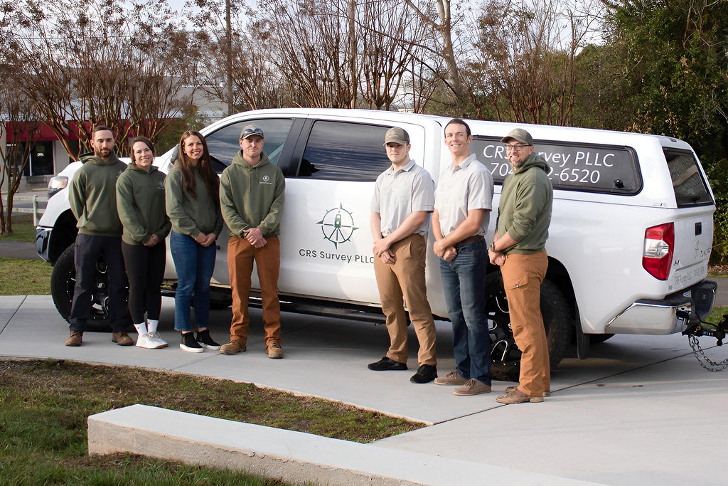
At CRS Survey PLLC, great service starts with experienced, friendly professionals and ends with top-quality results. We complete each project on time, with a commitment to personalized service, competitive pricing, and exceeding client expectations every step of the way.
Cal is a licensed professional land surveyor with over 12 years of experience leading surveying operations across North Carolina. With a graduate degree in geography specializing in terrestrial laser scanning and a certificate in geographic information systems, Cal combines technical expertise with a deep understanding of modern surveying technologies. As a small business owner, he values community and is passionate about supporting local businesses. Cal is committed to earning his clients’ trust through exceptional service and building lasting relationships rooted in integrity and quality.

Project Manager

Project Manager

Crew Member

Crew Member

Crew Member

Health Officer

Business & Marketing Director

Owner
CRS Survey PLLC offers a full range of surveying services tailored to transportation, infrastructure, residential, and commercial projects.

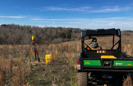
Using GPS, aerial (UAS), and conventional tools, we deliver accurate terrain data to support your design needs and ensure project success.
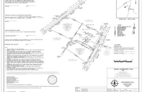
We specialize in residential and commercial property surveys, including recombination, subdivision, and legal descriptions, all conducted to meet local and state standards.
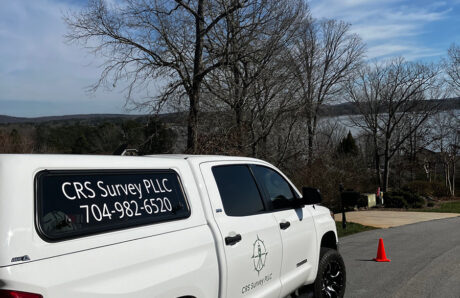
Our team provides precise staking for limits of disturbance, silt fences, as-builts, utilities, and earthwork, supporting every stage of construction with reliable reporting and technology.
Fill out the form below to download the handbook.
"*" indicates required fields
Please fill out the form below. After successful form submission, you will be redirected to the requested file. Thank you.
"*" indicates required fields
Our internal innovation and development team constantly analyzes new technology and develops solutions to meet our client’s challenges. Our Technically Speaking series is one way we share our technical findings with the professional community.Â
Please tell us a little about yourself by filling out the form below, and we’ll share the document with you, thanks!
Our internal innovation and development team constantly analyzes new technology and develops solutions to meet our client’s challenges. Our Technically Speaking series is one way we share our technical findings with the professional community.Â
Please tell us a little about yourself by filling out the form below, and we’ll share the document with you, thanks!
NV5 Geospatial releases a new predictive modeling platform for vegetation management that uses existing lidar and historical data to identify the relative level of asset risk from trees by quantifying the potential for causing asset damage.Â
Please tell us a little about yourself by filling out the form below, and we’ll share the document with you, thanks!
Our internal innovation and development team constantly analyzes new technology and develops solutions to meet our client’s challenges. Our Technically Speaking series is one way we share our technical findings with the professional community.Â
Please tell us a little about yourself by filling out the form below, and we’ll share the document with you, thanks!