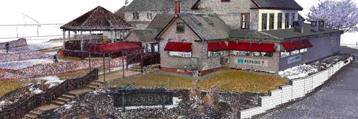
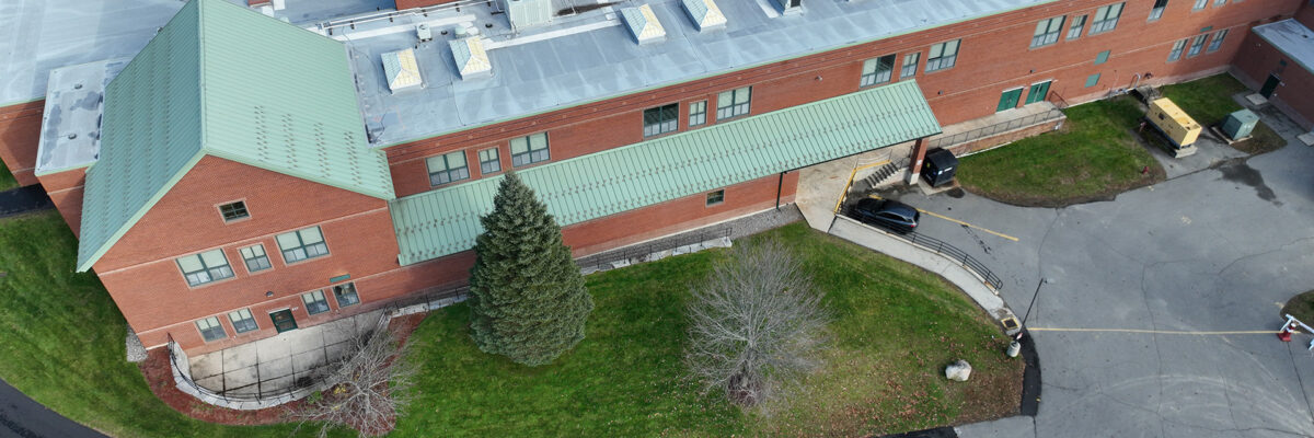
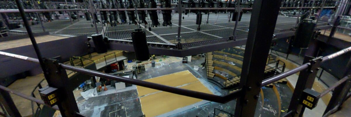
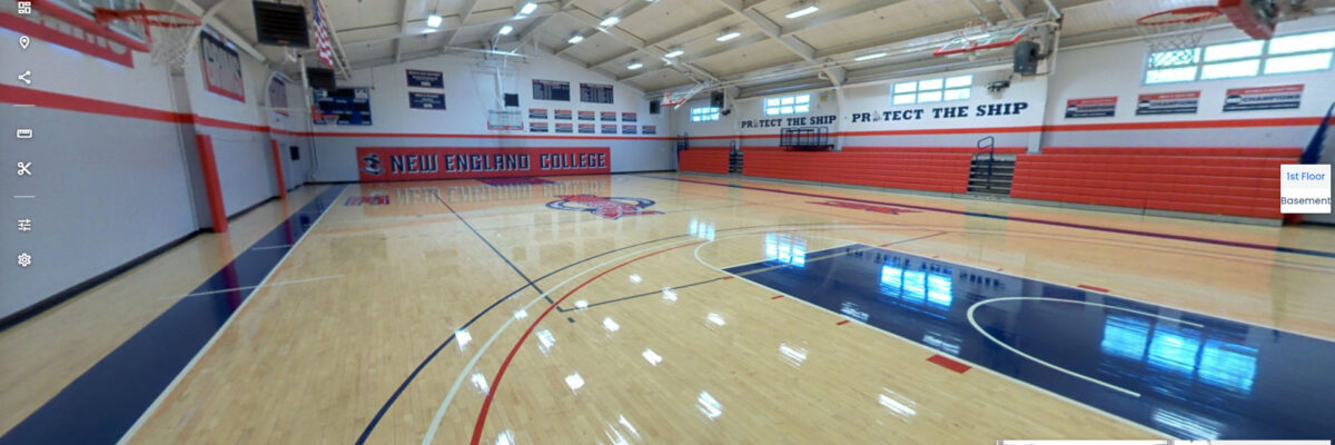
Our team completed a this reality capture and modeling project using a combination of terrestrial and aerial scanning technologies. The scope included both interior and exterior documentation, completed in a single day. Using the NavVis VLX mobile scanner and DJI Phantom 4 Pro drone, we captured high-resolution spatial data to[...]
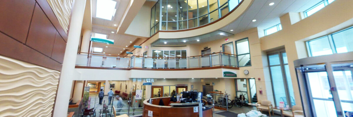
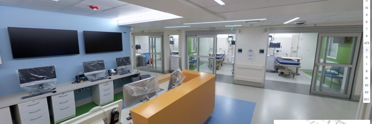
Our team supported a healthcare facility with advanced laser scanning and BIM modeling services to improve spatial documentation, renovation planning, and engineering coordination. The project focused on capturing existing conditions and transitioning legacy workflows into a modern Revit-based environment. Despite the operational environment, scanning was completed during off-peak hours to[...]
Our work supports the development of a digital twin to improve facilities management, space planning, renovations, and engineering operations. We provide full-spectrum CAD and BIM services to help transition from legacy CAD workflows to a modern, integrated BIM environment—enhancing data access, coordination, and operational efficiency. We’ve assisted in developing CAD[...]
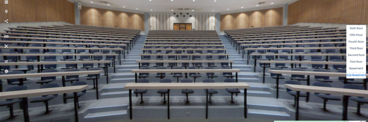
The scope of work involved using the DJI Mavic 3E Drone and the NavVis VLX 3 Mobile Scanner to capture the exterior and interior of six buildings: the EK Science, Hackler Gym/Fieldhouse, Saltmarsh Library, Low, Shepard, and the Arts & Humanities Buildings. This process generated 2,532 panorama images for a[...]
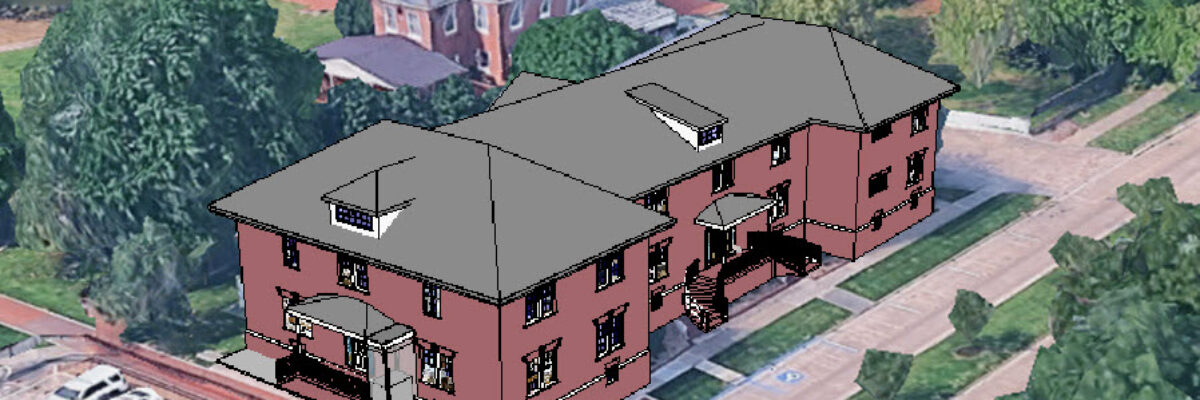
NV5 developed a Revit model of Declouet Hall, a two-story, 14,000 sf academic building on the University of Louisiana campus. The model was based on historic building documents provided in PDF format and verified through on-site laser scanning of both the interior and exterior. Scanning was performed using mobile mapping[...]
At the campus’s largest instructional and research lab building, a comprehensive modernization effort began with a full scan of approximately 232,000 square feet of interior and exterior space. This foundational step enabled the creation of a detailed point cloud and a Revit model, supporting the design and planning phases with[...]
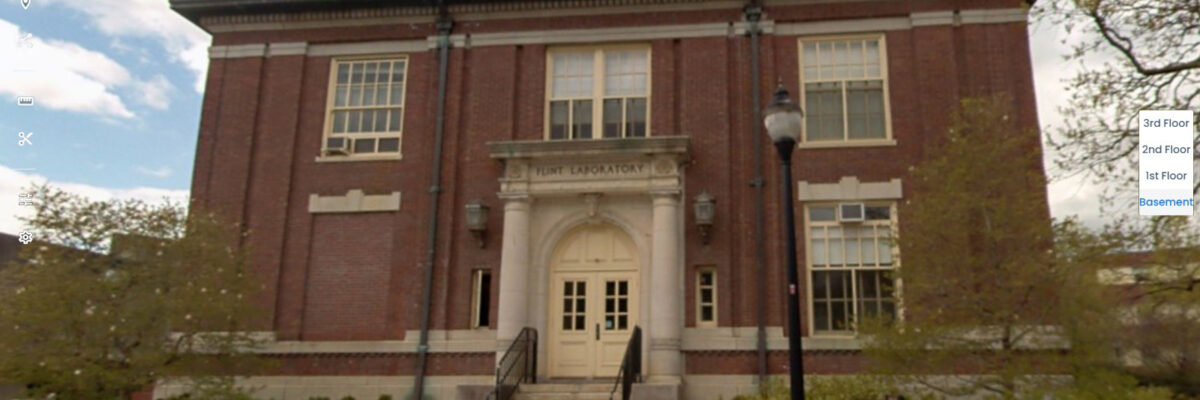
This historic academic building, originally constructed in 1912, was transformed into a Student Success Center for the College of Natural Sciences. The renovation introduced a new entry pavilion, exterior ramps, a modern elevator, and gender-neutral restrooms. Additional upgrades included energy-efficient systems, envelope improvements, skylights, and refined interior finishes that highlighted[...]
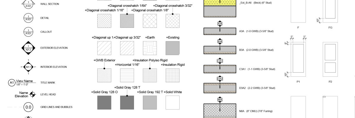
To support UMCMS’s transition to Revit, NV5 focused on developing custom standards, templates, and resource files to establish a strong foundation for internal project delivery. Building upon the institution’s existing CAD standards, the NV5 team has customized its proprietary Revit starter packages—complete with templates, best practices documentation, and family libraries—to[...]
Tufts University initiated a project to standardize spatial data on its three campuses, encompassing over 4 million sf across hundreds of buildings. The primary objectives were to clean up existing Revit files and to develop models for buildings without accurate documentation. The project involved evaluating and organizing CAD/BIM Master drawings,[...]
A point cloud file was generated from the scans to develop a Revit model. Additionally, 399 images were captured for a virtual tour and site analysis, along with aerial images for utility locations. The data collected in one day supports the college’s plan for a modern athletics complex, which includes[...]
Form #2 - Sends email containing the link to the PDF
"*" indicates required fields
eNewsletter - NV5 Real Estate Transaction Services
Contact NV5 Real Estate Transaction Services
Download NV5 2022 Compliance Calendar
Please fill out the form below. After successful form submission, you will be redirected to the requested file. Thank you.
"*" indicates required fields
Hyperspectral Imaging - Technically Speaking
Our internal innovation and development team constantly analyzes new technology and develops solutions to meet our client’s challenges. Our Technically Speaking series is one way we share our technical findings with the professional community.
Please tell us a little about yourself by filling out the form below, and we’ll share the document with you, thanks!
Accuracy Part 1- Technically Speaking
Our internal innovation and development team constantly analyzes new technology and develops solutions to meet our client’s challenges. Our Technically Speaking series is one way we share our technical findings with the professional community.
Please tell us a little about yourself by filling out the form below, and we’ll share the document with you, thanks!
Prune Optimization Webinar Recording
NV5 Geospatial releases a new predictive modeling platform for vegetation management that uses existing lidar and historical data to identify the relative level of asset risk from trees by quantifying the potential for causing asset damage.
Please tell us a little about yourself by filling out the form below, and we’ll share the document with you, thanks!
Topobathy Lidar - Technically Speaking
Our internal innovation and development team constantly analyzes new technology and develops solutions to meet our client’s challenges. Our Technically Speaking series is one way we share our technical findings with the professional community.
Please tell us a little about yourself by filling out the form below, and we’ll share the document with you, thanks!