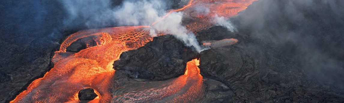
Lidar and imaging data for the Kilauea Volcano was captured by GEO1 for Quantum Spatial, an NV5 company, This data will be used to help first responders, scientists, and government agencies monitor conditions, predict future lava flows and protect Hawaiian residents from the Kilauea volcano, which has been erupting since May 3, 2018, and has changed the topography as fissures emerge and lava flows extend to the ocean.
For more information, read the “Ready Willing Able: The SWAT Team of Lidar” article in Lidar Magazine.