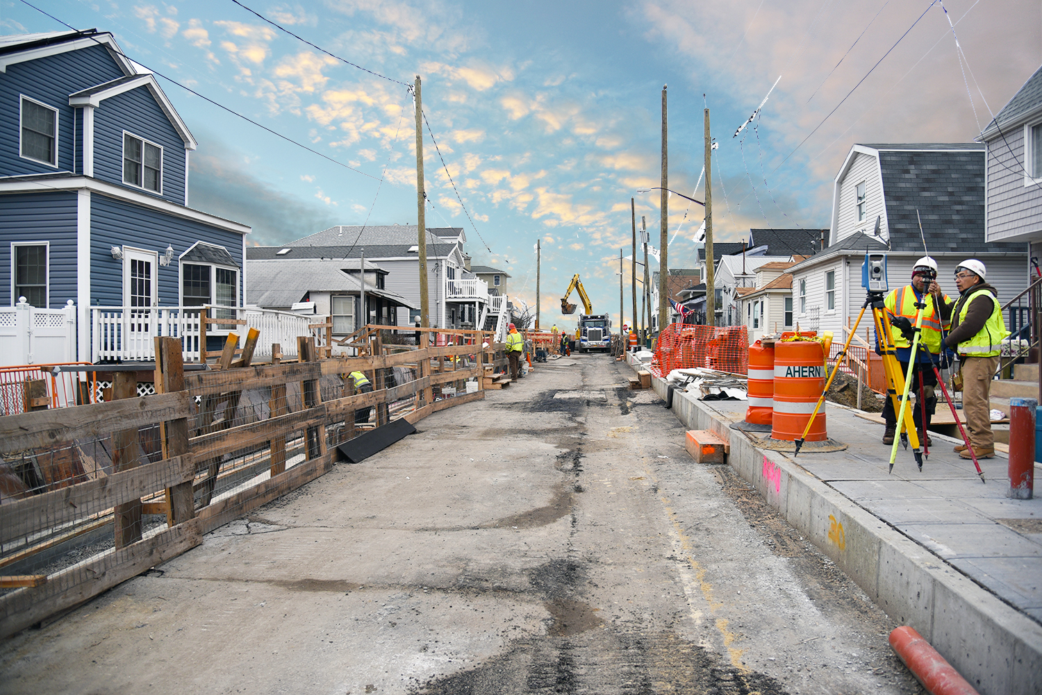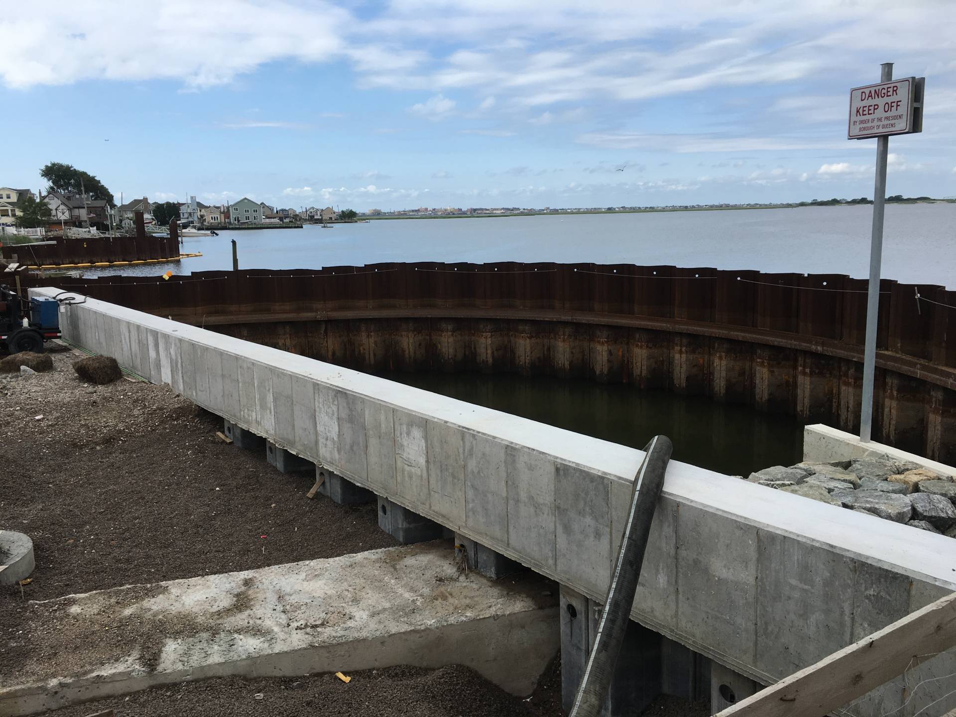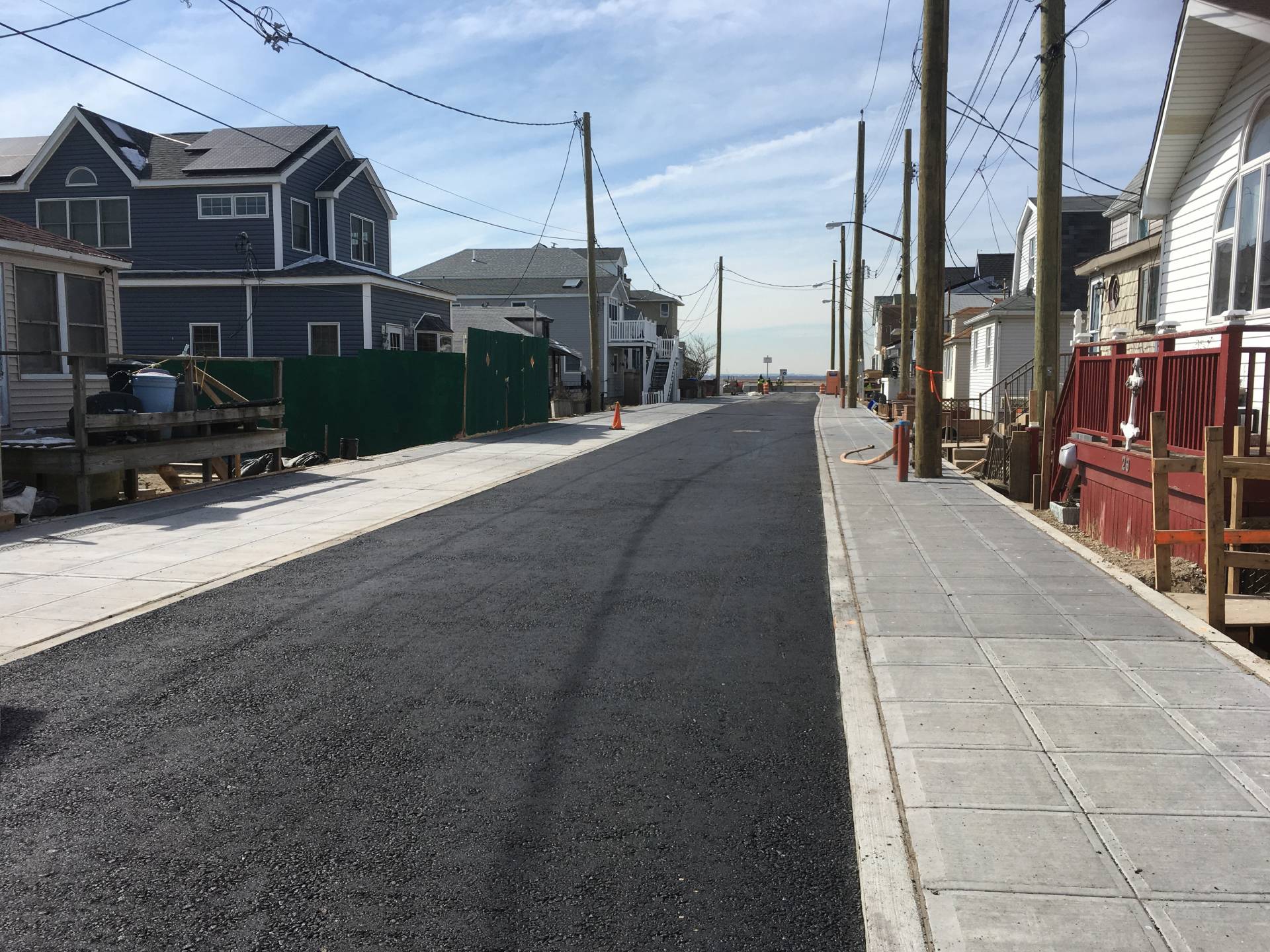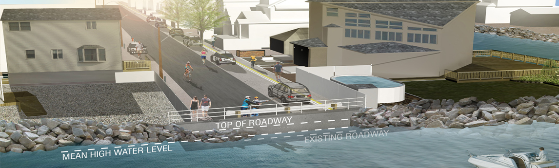
NV5 modeled the effects of coastal flooding, incorporating climate change over multiple time horizons. The findings of the study, along with recommendations to mitigate coastal flooding along these project streets, were published in a 2010 feasibility report. Based on the recommended alternatives from the report and intense public outreach initiatives, NV5 developed a design which raised the street grades up to three feet, built new bulkhead and outfalls, and incorporated a shared street or woonerf.
This project was featured in both the New York Times™ and in ENR™ magazine.
The final design included new bulkheads, storm and sanitary drainage, water distribution, retaining walls, redevelopment of the roadway, and site work on a 150+ private properties to alleviate future tidal flooding. The effort required an enormous amount of community coordination including one-on-one meetings with every affected homeowner.
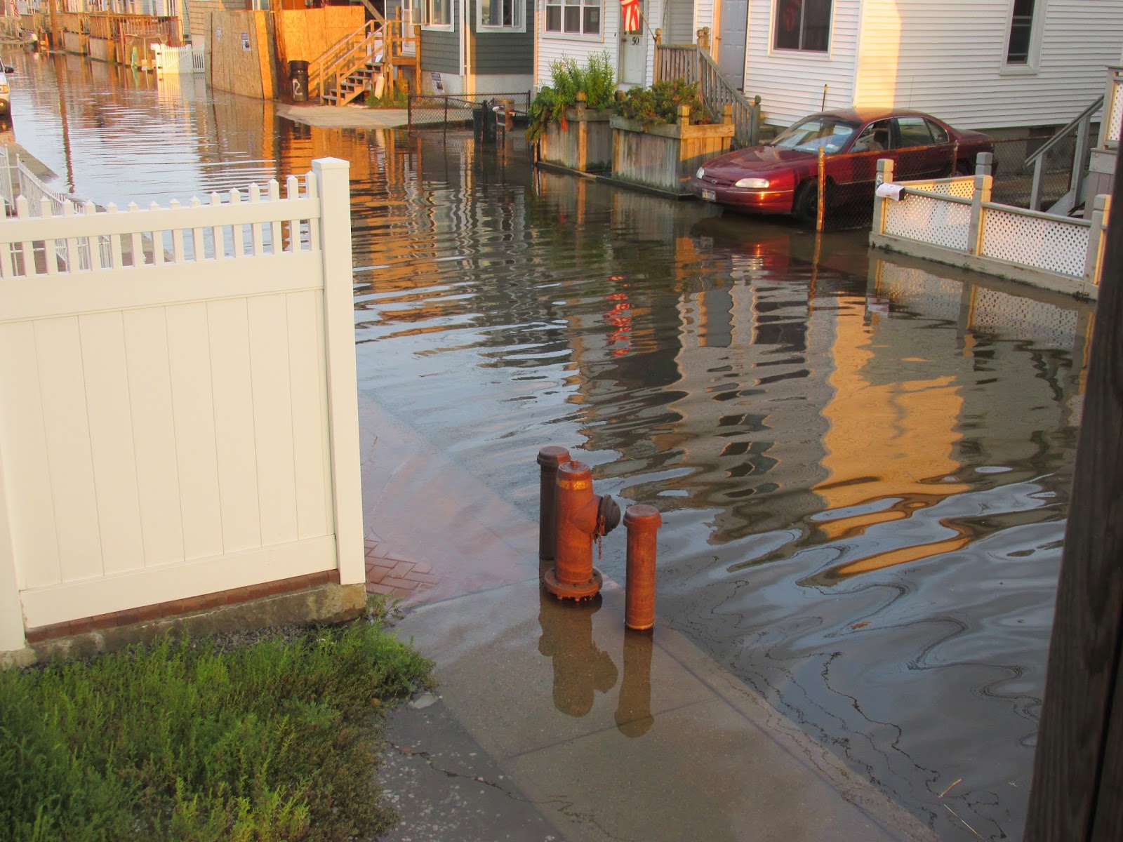
This is the first phase of the rebuilding of all the roadways in the Broad Channel area. These streets were selected because they have the lowest grades and thus are the most susceptible to flooding during the lunar-influenced high tides. This project will decrease the amount of and frequency of flooding on these three blocks.