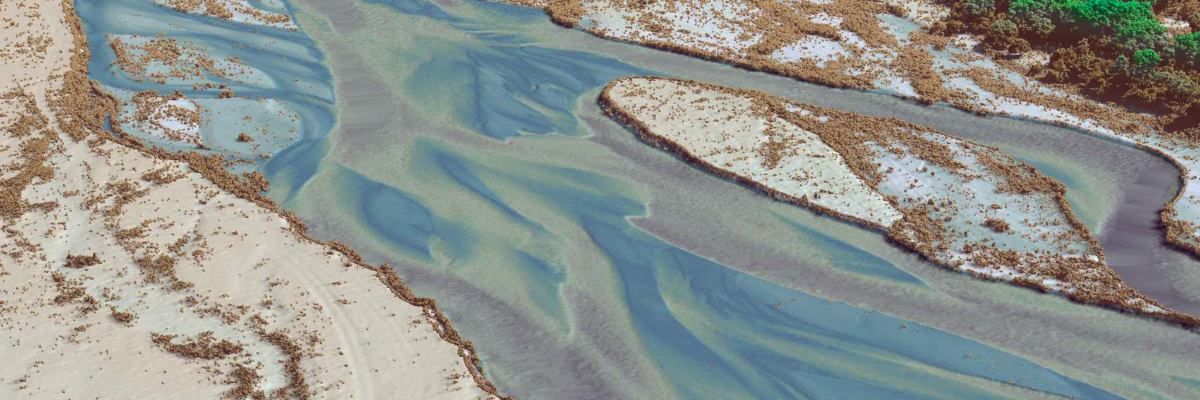
As seen in the latest issue of Hydro International Preservation of endangered species habitats along the Platte River Topobathymetric Lidar technology has become an indispensable tool in environmental management, particularly for monitoring and preserving fragile ecosystems. In central Nebraska, along the Platte River, it plays a pivotal role in ensuring[...]
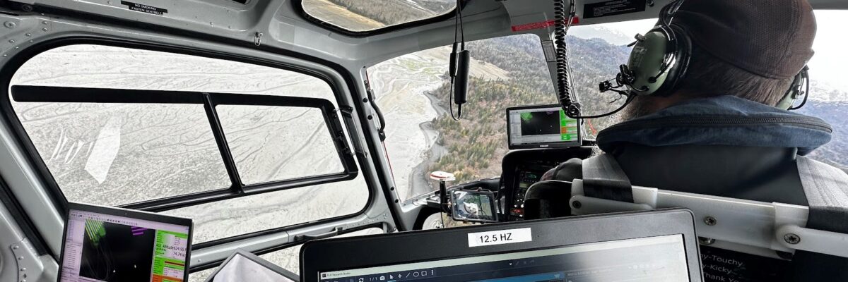
Collecting geospatial data in Alaska is not for the faint of heart. The rugged terrain makes it dangerous and expensive to send people out in the field. The extreme weather leaves only limited windows of time to complete aerial surveys. Not to mention the challenges like rapid changes with freezes[...]
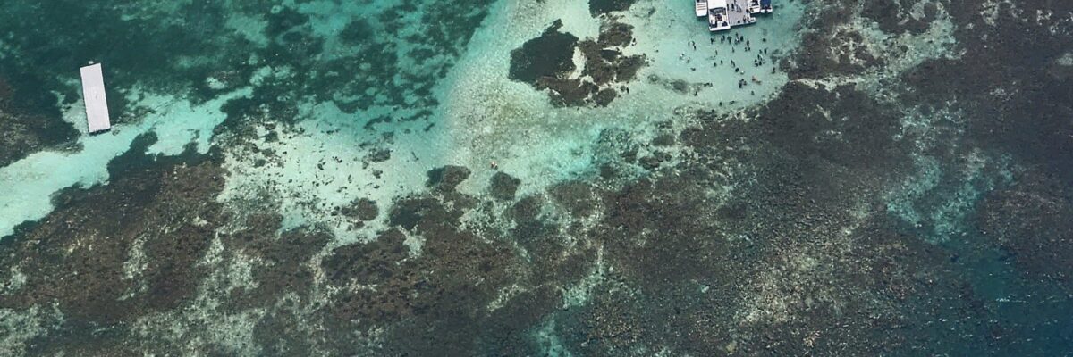
In a previous post, we introduced the Caribbean Community Climate Change Centre’s (CCCCC) initiative with NV5 to combat climate change through aerial lidar and orthoimagery surveys. The first order of business has been to get all the data collected, then process and classify it to deliver surface models for all[...]
Form #2 - Sends email containing the link to the PDF
"*" indicates required fields
eNewsletter - NV5 Real Estate Transaction Services
Contact NV5 Real Estate Transaction Services
Download NV5 2022 Compliance Calendar
Please fill out the form below. After successful form submission, you will be redirected to the requested file. Thank you.
"*" indicates required fields
Hyperspectral Imaging - Technically Speaking
Our internal innovation and development team constantly analyzes new technology and develops solutions to meet our client’s challenges. Our Technically Speaking series is one way we share our technical findings with the professional community.
Please tell us a little about yourself by filling out the form below, and we’ll share the document with you, thanks!
Accuracy Part 1- Technically Speaking
Our internal innovation and development team constantly analyzes new technology and develops solutions to meet our client’s challenges. Our Technically Speaking series is one way we share our technical findings with the professional community.
Please tell us a little about yourself by filling out the form below, and we’ll share the document with you, thanks!
Prune Optimization Webinar Recording
NV5 Geospatial releases a new predictive modeling platform for vegetation management that uses existing lidar and historical data to identify the relative level of asset risk from trees by quantifying the potential for causing asset damage.
Please tell us a little about yourself by filling out the form below, and we’ll share the document with you, thanks!
Topobathy Lidar - Technically Speaking
Our internal innovation and development team constantly analyzes new technology and develops solutions to meet our client’s challenges. Our Technically Speaking series is one way we share our technical findings with the professional community.
Please tell us a little about yourself by filling out the form below, and we’ll share the document with you, thanks!