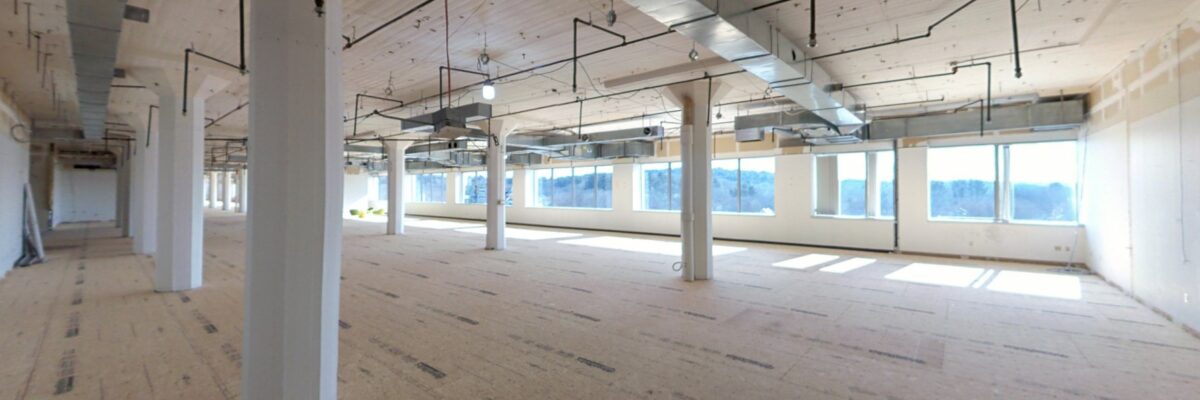
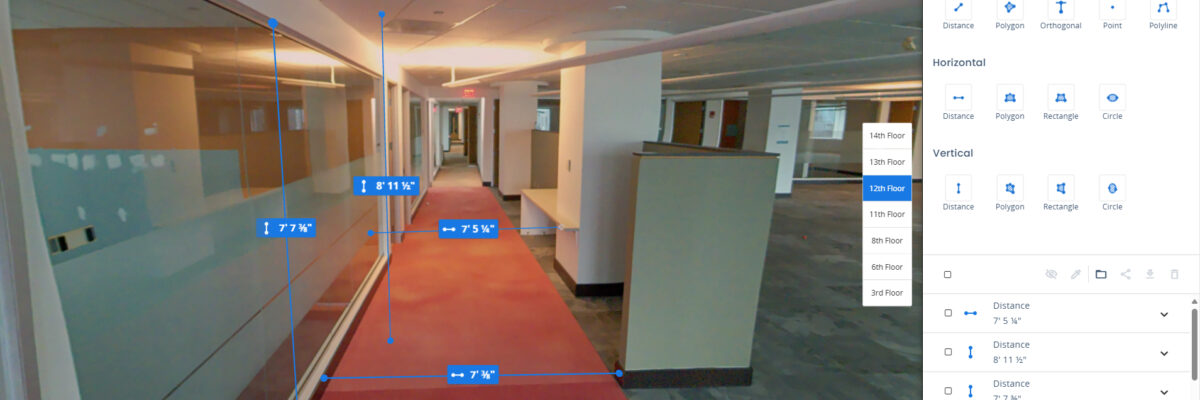
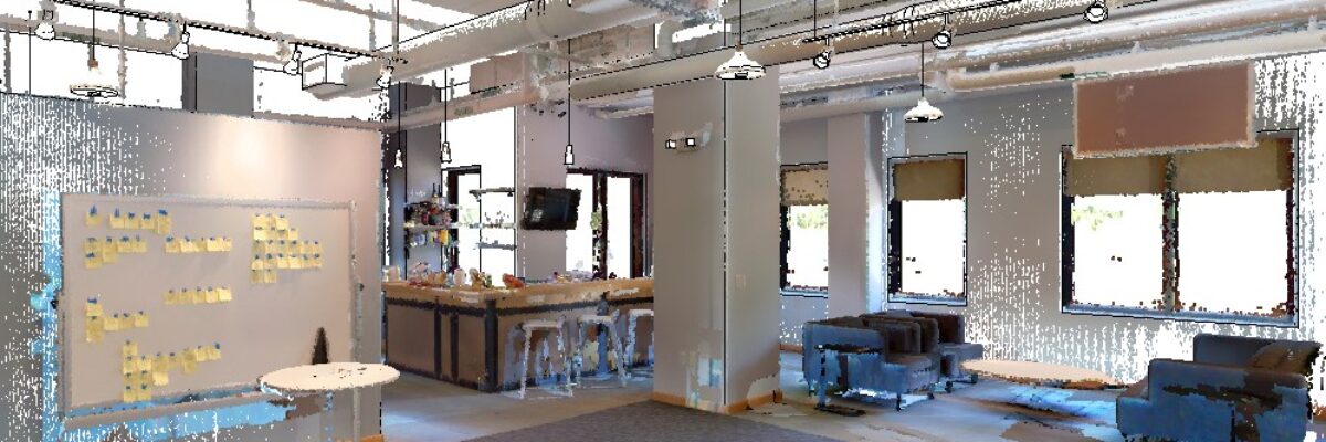
NV5 performed laser scanning and Revit modeling for two partial floors of a commercial office totaling approximately 75,000 sf. Scanning was completed in about three hours using a combination of NavVis VLX mobile scanning and Trimble X7 tripod-mounted scanning for exterior coverage. The Revit model was developed using architectural CAD[...]
Wednesday, August 27 at 2 PM ET / 1PM CT In this live webinar, you’ll discover how our latest hydrographic survey innovations, developed and refined across multiple years of Great Lakes operations, can support your infrastructure, energy, and environmental initiatives. We’ll highlight: Survey efficiencies that cut timelines without compromising quality[...]
Using our wearable mobile scanner, we laser scanned seven floors, totaling approximately 140,000 sq. ft. Each floor consisted primarily of offices, conference rooms, and cubicle areas. Scanning was conducted during the weekend to minimize disruption. The modeling process required meticulous attention as we checked and modeled fire protection devices in[...]
This project involved laser scanning and modeling of a 6,000 sf, single-level commercial space. NV5 used a combination of NavVis VLX mobile scanning and Trimble X7 tripod-mounted scanning to capture both interior layouts and select exterior features. The scan was completed in under an hour, minimizing disruption while ensuring high-quality[...]
Form #2 - Sends email containing the link to the PDF
"*" indicates required fields
eNewsletter - NV5 Real Estate Transaction Services
Contact NV5 Real Estate Transaction Services
Download NV5 2022 Compliance Calendar
Please fill out the form below. After successful form submission, you will be redirected to the requested file. Thank you.
"*" indicates required fields
Hyperspectral Imaging - Technically Speaking
Our internal innovation and development team constantly analyzes new technology and develops solutions to meet our client’s challenges. Our Technically Speaking series is one way we share our technical findings with the professional community.
Please tell us a little about yourself by filling out the form below, and we’ll share the document with you, thanks!
Accuracy Part 1- Technically Speaking
Our internal innovation and development team constantly analyzes new technology and develops solutions to meet our client’s challenges. Our Technically Speaking series is one way we share our technical findings with the professional community.
Please tell us a little about yourself by filling out the form below, and we’ll share the document with you, thanks!
Prune Optimization Webinar Recording
NV5 Geospatial releases a new predictive modeling platform for vegetation management that uses existing lidar and historical data to identify the relative level of asset risk from trees by quantifying the potential for causing asset damage.
Please tell us a little about yourself by filling out the form below, and we’ll share the document with you, thanks!
Topobathy Lidar - Technically Speaking
Our internal innovation and development team constantly analyzes new technology and develops solutions to meet our client’s challenges. Our Technically Speaking series is one way we share our technical findings with the professional community.
Please tell us a little about yourself by filling out the form below, and we’ll share the document with you, thanks!