
UAS Media

Unmanned Autonomous Systems

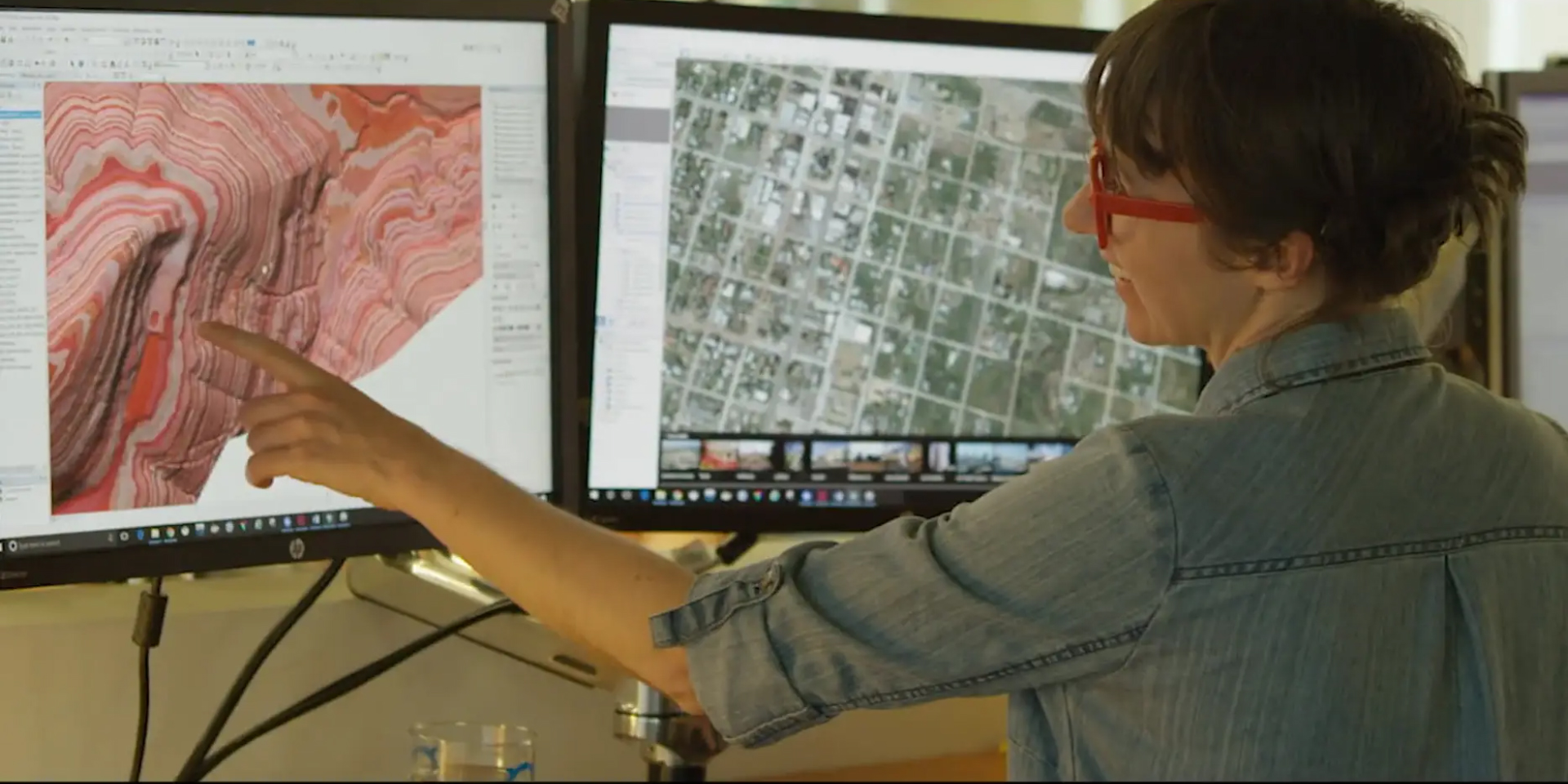
NV5 Geospatial is the geospatial pioneer pushing the boundaries of data and analytics to deliver actionable intelligence to transform the way our clients utilize and value geospatial data. Watch the video to learn about what we do

We are NV5 Geospatial

Watch Video Contact Us
The acquisition includes 16 U.S. Patents for geospatial data analytics and  software products including ENVI, IDL, Jagwire, Amplify, and Helios.

NV5  Acquires L3Harris Geospatial Software

Learn More
Our mission is to use our GIS expertise to provide clarity and solutions to help our clients solve the world’s national security, infrastructure, and environmental problems.
We empower our clients to make the world a smarter, safer, and better place for us to live through big data services, geomatics, business solutions, cloud services, infrastructure security, analytics, and professional services.

Comprehensive Enterprise Geospatial Services
Learn More

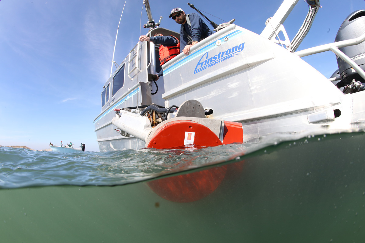
With the recent acquisition of Geodynamics LLC, NV5 Geospatial has built a comprehensive suite of geospatial solutions for geospatial surveys of deep water and near-shore environments to deliver detailed insights for coastal management, flood monitoring, ecosystem protection, research and more.

Geodynamics joins NV5 Geospatial
Learn More

Discover new features in our latest release.
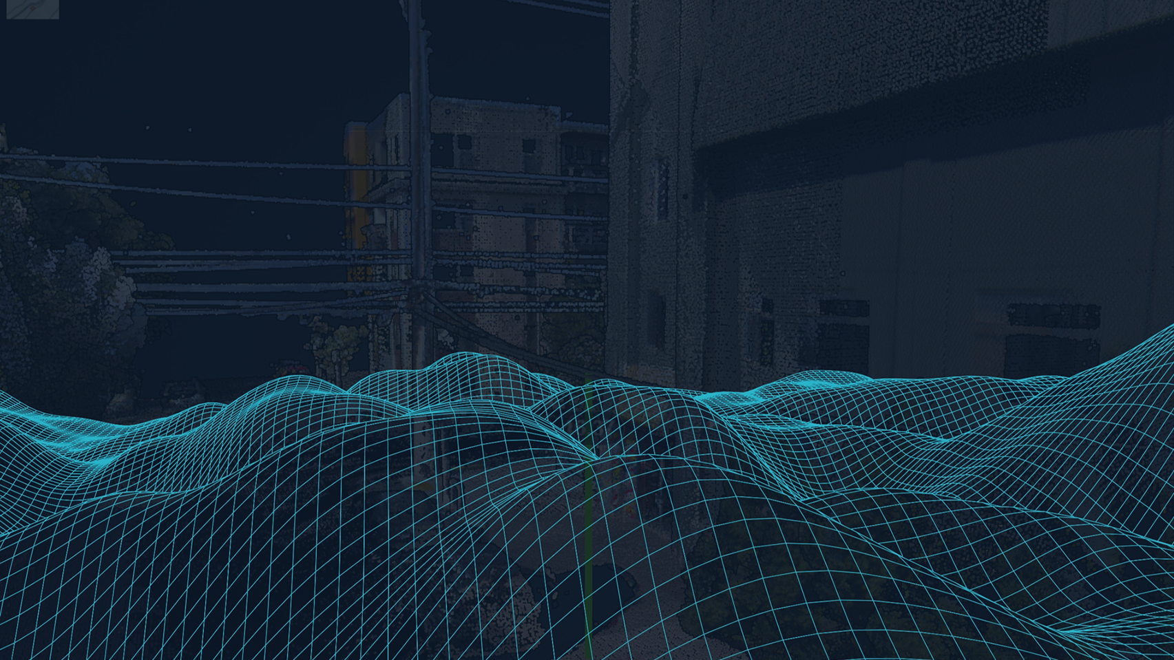
Sr Product Manager Zach Powers will explain how INSITE Core accesses, organizes and visualizes your spatial data. 

INSITE Core-
Realize your Data Potential
Learn More View Webinar

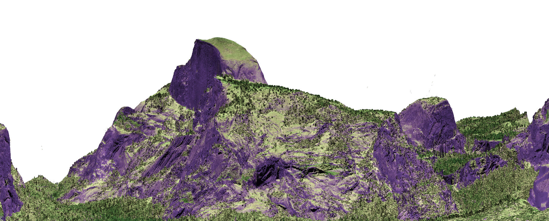
Lidar scans make it easy to see the difference between a fire-resistant forest and one where fire has been suppressed. 
-Philip Kiefer, Popular Science

Laser scans show how fires have changed Yosemite’s forests

Read Article

NV5 Geospatial’s passion and commitment to innovative unmanned aerial systems (UAS) makes us an industry leader in data acquisition, processing, and downstream analytics. 

NV5 provides imagery, video and even engineering grade measurements from its UAV Fleet and highly trained pilots.  NV5 deploys quad copters or fixed wing ‘drones’ to capture that scene that puts your audience ‘there’ from any perspective needed to tell the story. 

We Understand The Regulatory  Requirements

If you’re operating commercially in the U.S., you need to comply with Part 107 of Federal Aviation Administration (FAA) regulations, the rules that govern commercial drone use. The FAA’s Part 107 sets requirements for pilot licensing, maximum altitude and airspeed, available airspace and much more. Commercial drone operators are generally not permitted to fly in controlled airspaces—including areas around airports, stadiums, national parks and other sites. They’re also not permitted to fly over people, over 400 feet above ground level or beyond the operator’s visual line of sight. As you incorporate drones into your media needs, it’s critical that you understand and comply with all regulatory requirements, while knowing how to obtain any necessary waivers.  NV5 complies with these rules on a daily basis.

Why UAS?

Unmanned systems provide significant advantages for many projects. They are easy to move from site-to-site. We operate them with little to no interruption of traffic or construction. They are safe, efficient, and cost effective. And finally, they can provide the ultimate level of detail via pinpoint accuracy and ultra-high resolution.

We use the latest in both multi-rotor as well as fixed wing drones to collect lidar,  RGB orthoimagery, thermal imaging , and multispectral data.

Notable Projects

Contact Us
  • This field is for validation purposes and should be left unchanged.

Fill out the form below to download the handbook.

Form #1 - Redirection to PDF

Form #2 - Sends email containing the link to the PDF

"*" indicates required fields

This field is for validation purposes and should be left unchanged.

eNewsletter - NV5 Real Estate Transaction Services

Contact NV5 Real Estate Transaction Services

Download NV5 2022 Compliance Calendar

Please fill out the form below. After successful form submission, you will be redirected to the requested file. Thank you.

"*" indicates required fields

This field is for validation purposes and should be left unchanged.
We are an equal opportunity employer. All applicants will be considered for employment without attention to race, color, religion, sex, sexual orientation, gender identity, national origin, veteran or disability status. We ensure nondiscrimination in all programs and activities in accordance with Title VI of the United States Civil Rights Act of 1964. If you need more information or special assistance for persons with disabilities or limited English proficiency, contact MaryJo OBrien at (954) 495-2112. Persons with hearing-and speech-impairments can contact the NV5 by using the Virginia Relay Service, a toll-free telecommunication device for the deaf (TDD). Call 711 for TTY/TDD.
This field is hidden when viewing the form

Hyperspectral Imaging - Technically Speaking

Our internal innovation and development team constantly analyzes new technology and develops solutions to meet our client’s challenges. Our Technically Speaking series is one way we share our technical findings with the professional community. 

Please tell us a little about yourself by filling out the form below, and we’ll share the document with you, thanks!

Accuracy Part 1- Technically Speaking

Our internal innovation and development team constantly analyzes new technology and develops solutions to meet our client’s challenges. Our Technically Speaking series is one way we share our technical findings with the professional community. 

Please tell us a little about yourself by filling out the form below, and we’ll share the document with you, thanks!

Prune Optimization Webinar Recording

NV5 Geospatial releases a new predictive modeling platform for vegetation management that uses existing lidar and historical data to identify the relative level of asset risk from trees by quantifying the potential for causing asset damage. 

Please tell us a little about yourself by filling out the form below, and we’ll share the document with you, thanks!

Topobathy Lidar - Technically Speaking

Our internal innovation and development team constantly analyzes new technology and develops solutions to meet our client’s challenges. Our Technically Speaking series is one way we share our technical findings with the professional community. 

Please tell us a little about yourself by filling out the form below, and we’ll share the document with you, thanks!

Contact Geospatial

Contact Geospatial