Thank you for submitting your request. Please check your email for a follow up from our team.
NV5 Geospatial Distribution Solutions
NV5 Geospatial’s remote sensing data analysis improves efficiency, reduces risk, and maximizes reliability of your distribution network.
~ 40,000 distribution miles analyzed in 2021
Reduce Risk, Improve Efficiency, and Maximize Reliability with Geospatial Analysis
Remote sensing improves accuracy, reduces turnaround time on new data acquisition, and provides opportunities for business growth. NV5 Geospatial is the best in the business with remote sensing data and data analysis.
Joint Use
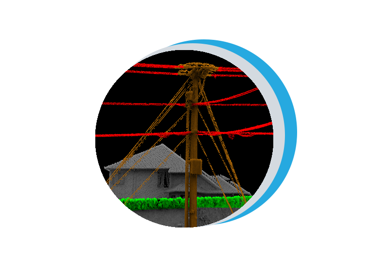
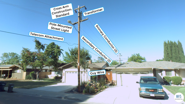
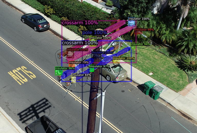
We utilize geospatial data to generate a comprehensive inventory of utility pole assets and determine pole capacity.
NESC
We assess your network for risk and identify specific measurements on poles to maintain regulatory compliance.
Pole Loading
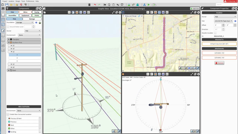
We ensure safe load conditions through the integration of remote sensing data with pole loading software.
Contact Us
Live Event
Geo Sessions
Gain Insights from Lidar, SAR, Spectral, and AI Thought Leaders
Form #2 - Sends email containing the link to the PDF
"*" indicates required fields
eNewsletter - NV5 Real Estate Transaction Services
Contact NV5 Real Estate Transaction Services
Download NV5 2022 Compliance Calendar
Please fill out the form below. After successful form submission, you will be redirected to the requested file. Thank you.
"*" indicates required fields
Hyperspectral Imaging - Technically Speaking
Our internal innovation and development team constantly analyzes new technology and develops solutions to meet our client’s challenges. Our Technically Speaking series is one way we share our technical findings with the professional community.
Please tell us a little about yourself by filling out the form below, and we’ll share the document with you, thanks!
Accuracy Part 1- Technically Speaking
Our internal innovation and development team constantly analyzes new technology and develops solutions to meet our client’s challenges. Our Technically Speaking series is one way we share our technical findings with the professional community.
Please tell us a little about yourself by filling out the form below, and we’ll share the document with you, thanks!
Prune Optimization Webinar Recording
NV5 Geospatial releases a new predictive modeling platform for vegetation management that uses existing lidar and historical data to identify the relative level of asset risk from trees by quantifying the potential for causing asset damage.
Please tell us a little about yourself by filling out the form below, and we’ll share the document with you, thanks!
Topobathy Lidar - Technically Speaking
Our internal innovation and development team constantly analyzes new technology and develops solutions to meet our client’s challenges. Our Technically Speaking series is one way we share our technical findings with the professional community.
Please tell us a little about yourself by filling out the form below, and we’ll share the document with you, thanks!