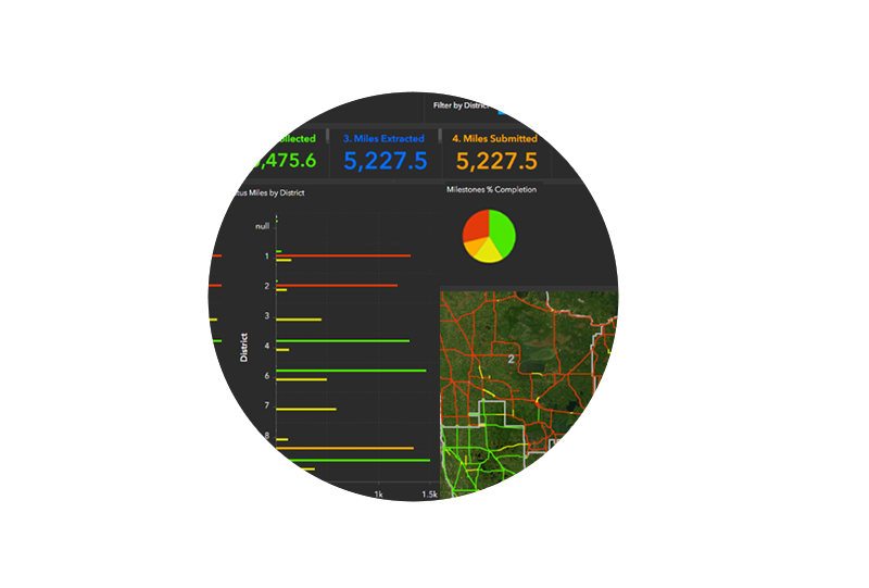
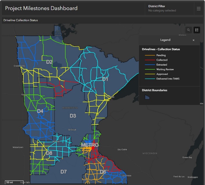
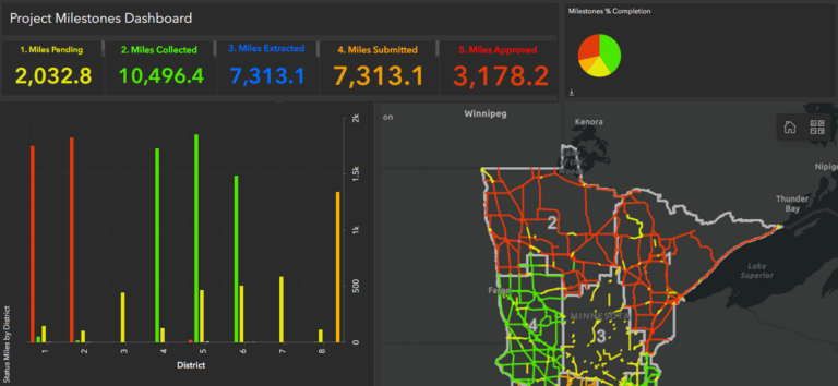
Project-AID is a web-based, customizable data view dashboard, which leverages the Esri software ecosystem to deliver actionable geospatial information:
Facilitate aspects of the project management process
Support dynamic visualization and interaction with pre-delivery
Accommodate a collaborative and iterative workflow
Provide transparency and optimize insight
Establish a flexible and configuration-based solution
Using Project-AID, our clients can regularly monitor key project metrics. Authorized project leadership can view asset status and counts by District as well as expected data upload dates.
Facilitate Communication
Support Collaboration
Provide Transparency
“Project-AID provides a great experience for engaging staff with the review process that leveraged their unique internal knowledge and subject matter expertise.”
See to Believe
Project-AID is deployed to keep the a DOT project team informed on production status. The solution has an interactive map that visualizes the production state of each route in the project. A Project Management Team can use this information to determine which routes are currently ready to view and notify the appropriate stakeholders that the data is available.
This approach is currently deployed on two ongoing asset management projects and has proven effective in keeping the Client’s project team, often distributed across different locations, in sync as to the availability of source and asset data deliverables. Engaging with Project-AID is typically the first step in a client’s data review and audit process.
Facilitate Communication
We work with our transportation clients to select the appropriate platform, methodology, and analytics to maximize the value of our services. From aircraft to drones, or ground-based mobile platforms, we continue to push ourselves to better serve our clients. Our Department of Transportation experience and transportation consulting expertise is unparalleled. So when you’re ready to ask, we’re ready to get moving.
Support Collaboration
We excel in all manners of spatial data collection, analysis, and visualization.
Form #2 - Sends email containing the link to the PDF
"*" indicates required fields
eNewsletter - NV5 Real Estate Transaction Services
Contact NV5 Real Estate Transaction Services
Download NV5 2022 Compliance Calendar
Please fill out the form below. After successful form submission, you will be redirected to the requested file. Thank you.
"*" indicates required fields
Hyperspectral Imaging - Technically Speaking
Our internal innovation and development team constantly analyzes new technology and develops solutions to meet our client’s challenges. Our Technically Speaking series is one way we share our technical findings with the professional community.
Please tell us a little about yourself by filling out the form below, and we’ll share the document with you, thanks!
Accuracy Part 1- Technically Speaking
Our internal innovation and development team constantly analyzes new technology and develops solutions to meet our client’s challenges. Our Technically Speaking series is one way we share our technical findings with the professional community.
Please tell us a little about yourself by filling out the form below, and we’ll share the document with you, thanks!
Prune Optimization Webinar Recording
NV5 Geospatial releases a new predictive modeling platform for vegetation management that uses existing lidar and historical data to identify the relative level of asset risk from trees by quantifying the potential for causing asset damage.
Please tell us a little about yourself by filling out the form below, and we’ll share the document with you, thanks!
Topobathy Lidar - Technically Speaking
Our internal innovation and development team constantly analyzes new technology and develops solutions to meet our client’s challenges. Our Technically Speaking series is one way we share our technical findings with the professional community.
Please tell us a little about yourself by filling out the form below, and we’ll share the document with you, thanks!