HOLLYWOOD, Fla., Oct. 12, 2020 (GLOBE NEWSWIRE) — NV5 Global, Inc. (the “Company” or “NV5”) (Nasdaq: NVEE), a provider of compliance, technology, and engineering consulting solutions, announced today that its subsidiary, Quantum Spatial, North America’s largest geospatial services firm, has been awarded a $4 million contract by the United States[...]
Hollywood, Fla., October 12, 2020 – NV5 Global, Inc. (the “Company” or “NV5”) (Nasdaq: NVEE),a provider of compliance, technology, and engineering consulting solutions, announced today that its subsidiary, Quantum Spatial, North America’s largest geospatial services firm, has been awarded a $4 million contract by the United States Geological Survey (USGS)[...]
HOLLYWOOD, Fla., Oct. 07, 2020 (GLOBE NEWSWIRE) — NV5 Global, Inc. (the “Company” or “NV5”) (Nasdaq: NVEE), a provider of compliance, technology, and engineering consulting solutions, announced today that it has been awarded a $5 million contract by a Bay Area county government to provide plan review, inspection, and materials[...]
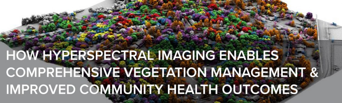
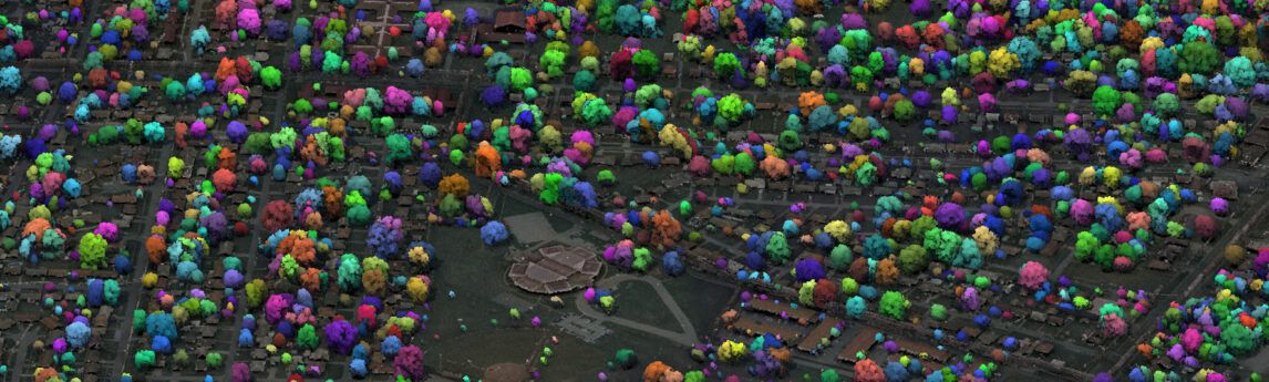
As government agencies across the United States respond to the effects of climate change, urbanization, and invasive species, it is critically important to develop a detailed understanding of a region’s canopy cover and green infrastructure. As lidar and hyperspectral technologies become more affordable and easier to implement, state and local[...]
Solar Builder Magazine digs into Santa Barbara Unified’s procurement of solar PV microgrid systems to keep the power on through earthquakes, fires and outages. In partnership with Sage Energy Consulting and the Clean Coalition, SBUSD has taken a big step toward energy resilience ‘in one of the most grid-vulnerable regions[...]
In recent years, advances in high-density lidar and hyperspectral imagery have offered new tools to states and municipalities for vegetation management. Quantum Spatial’s Andrew Brenner and Zach Raymer describe the applications and outcomes of this emerging science in American City & County. Read the full article One of the most[...]
Solar Power World takes a closer look at Santa Barbara Unified’s ambitious solar microgrid and solar PV installations at 18 District-owned sites, calling it a “big win for clean local energy and resilience.” Sage Energy Consulting, in partnership with Clean Coalition, performed feasibility studies and ran a “state-of-the-art” procurement process[...]
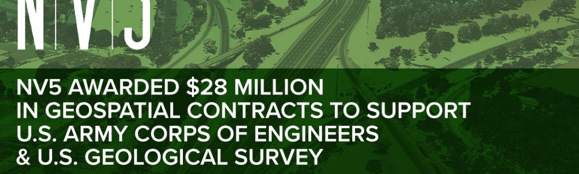
HOLLYWOOD, Fla., Sept. 30, 2020 (GLOBE NEWSWIRE) — NV5 Global, Inc. (the “Company” or “NV5”) (Nasdaq: NVEE), a provider of compliance, technology, and engineering consulting solutions, announced today that its subsidiary, Quantum Spatial, Inc. (“Quantum Spatial”), North America’s largest geospatial services firm, has been awarded contracts totaling $28 million to[...]
— by Joseph Bocchiaro III, PhD, CStd, CTS-D, CTS-I, ISF-C & John Cook CTS In the post-coronavirus era, Owners, Architects, and Interior Designers are asking, What will people need to have confidence to be working alongside other people again? And what can we be doing now to make buildings cooperate[...]
When considering an ALTA/NSPS Land Title Survey performed to the most current Minimum Standard Detail Requirements (2016), transaction parties must also weigh the need for any additional Optional Table A Items as part of the scope. What is an ALTA Survey Optional Table A Item? Attached to the Minimum Standards[...]
Form #2 - Sends email containing the link to the PDF
"*" indicates required fields
eNewsletter - NV5 Real Estate Transaction Services
Contact NV5 Real Estate Transaction Services
Download NV5 2022 Compliance Calendar
Please fill out the form below. After successful form submission, you will be redirected to the requested file. Thank you.
"*" indicates required fields
Hyperspectral Imaging - Technically Speaking
Our internal innovation and development team constantly analyzes new technology and develops solutions to meet our client’s challenges. Our Technically Speaking series is one way we share our technical findings with the professional community.
Please tell us a little about yourself by filling out the form below, and we’ll share the document with you, thanks!
Accuracy Part 1- Technically Speaking
Our internal innovation and development team constantly analyzes new technology and develops solutions to meet our client’s challenges. Our Technically Speaking series is one way we share our technical findings with the professional community.
Please tell us a little about yourself by filling out the form below, and we’ll share the document with you, thanks!
Prune Optimization Webinar Recording
NV5 Geospatial releases a new predictive modeling platform for vegetation management that uses existing lidar and historical data to identify the relative level of asset risk from trees by quantifying the potential for causing asset damage.
Please tell us a little about yourself by filling out the form below, and we’ll share the document with you, thanks!
Topobathy Lidar - Technically Speaking
Our internal innovation and development team constantly analyzes new technology and develops solutions to meet our client’s challenges. Our Technically Speaking series is one way we share our technical findings with the professional community.
Please tell us a little about yourself by filling out the form below, and we’ll share the document with you, thanks!