
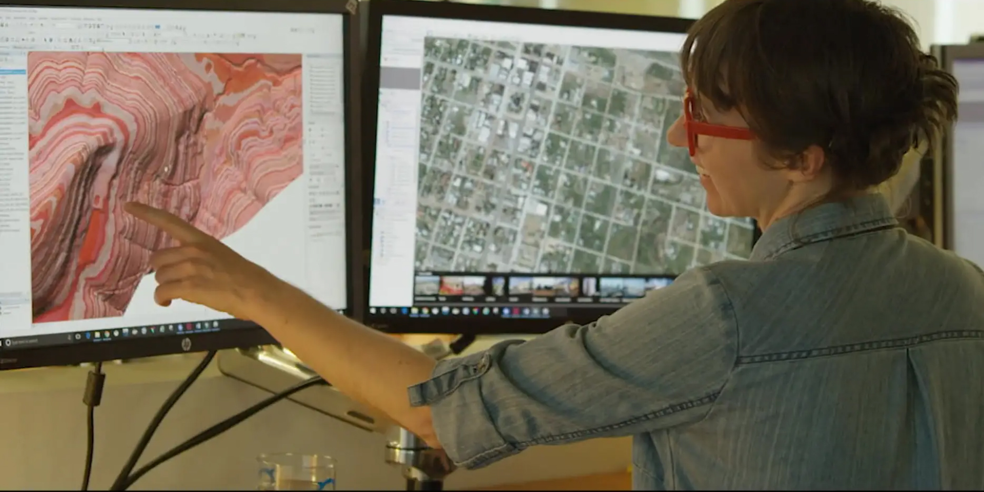
NV5 Geospatial is the geospatial pioneer pushing the boundaries of data and analytics to deliver actionable intelligence to transform the way our clients utilize and value geospatial data. Watch the video to learn about what we do
We are NV5 Geospatial
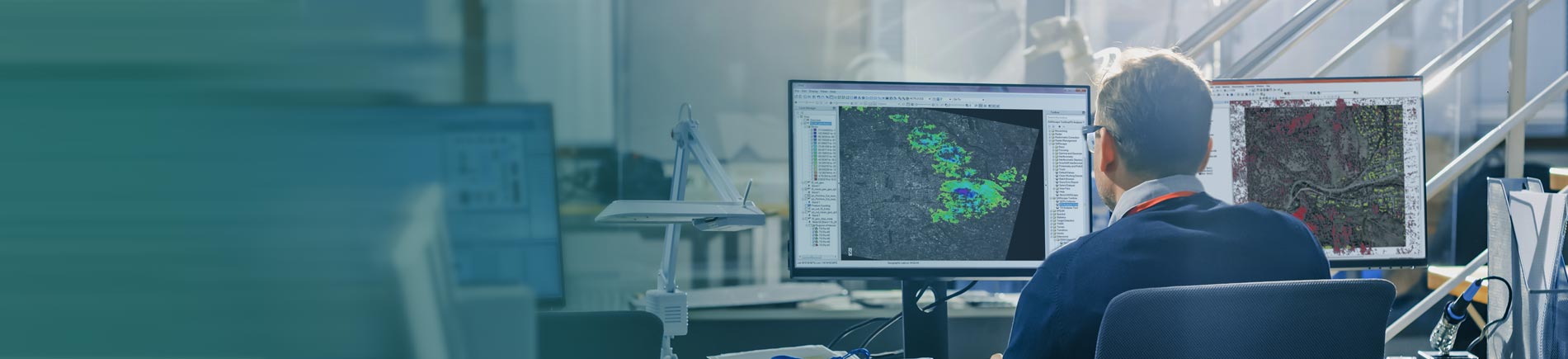
The acquisition includes 16 U.S. Patents for geospatial data analytics and software products including ENVI, IDL, Jagwire, Amplify, and Helios.
NV5 Acquires L3Harris Geospatial Software
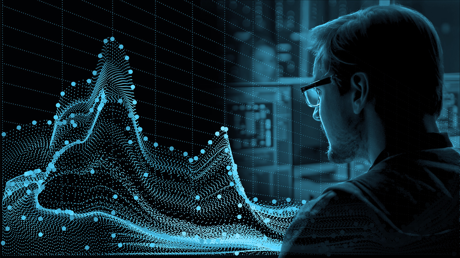
Our mission is to use our GIS expertise to provide clarity and solutions to help our clients solve the world’s national security, infrastructure, and environmental problems.
We empower our clients to make the world a smarter, safer, and better place for us to live through big data services, geomatics, business solutions, cloud services, infrastructure security, analytics, and professional services.
We empower our clients to make the world a smarter, safer, and better place for us to live through big data services, geomatics, business solutions, cloud services, infrastructure security, analytics, and professional services.
Comprehensive Enterprise Geospatial Services
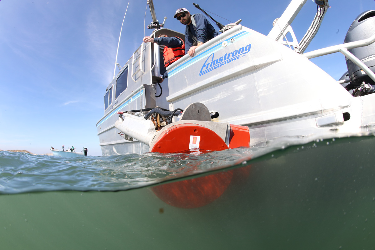
With the recent acquisition of Geodynamics LLC, NV5 Geospatial has built a comprehensive suite of geospatial solutions for geospatial surveys of deep water and near-shore environments to deliver detailed insights for coastal management, flood monitoring, ecosystem protection, research and more.
Geodynamics joins NV5 Geospatial
Discover new features in our latest release.
Sr Product Manager Zach Powers will explain how INSITE Core accesses, organizes and visualizes your spatial data.
INSITE Core-
Realize your Data Potential
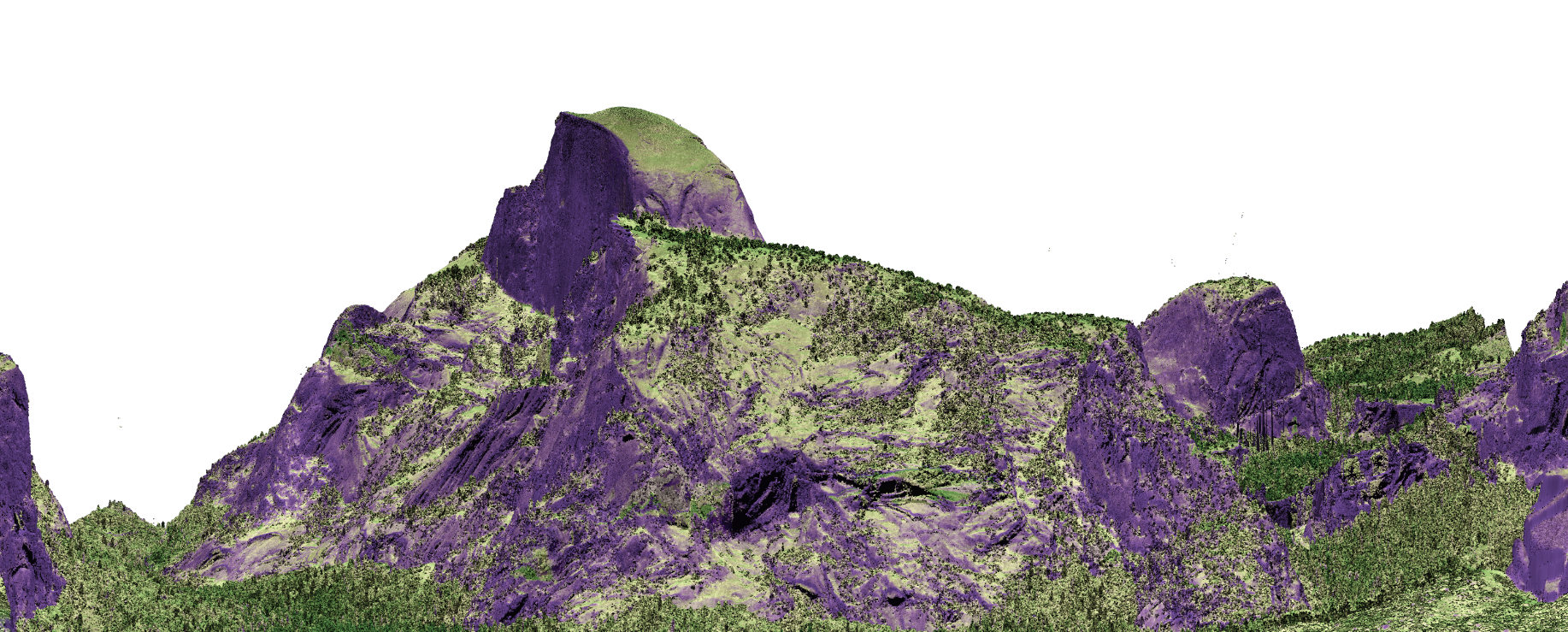
Lidar scans make it easy to see the difference between a fire-resistant forest and one where fire has been suppressed.
-Philip Kiefer, Popular Science