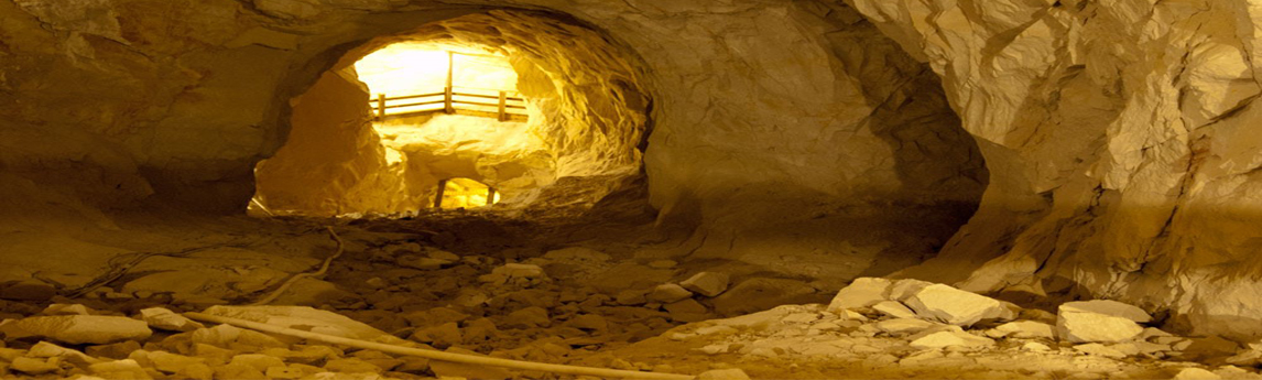
The Black Diamond Mines Regional Preserve is a 6,000-acre park featuring trails and relics from mining towns. It is popular for its tours, which take school-aged children and members of the public down a long stairway, deep into one of the mines to learn about coal and silica-sand mining, as[...]
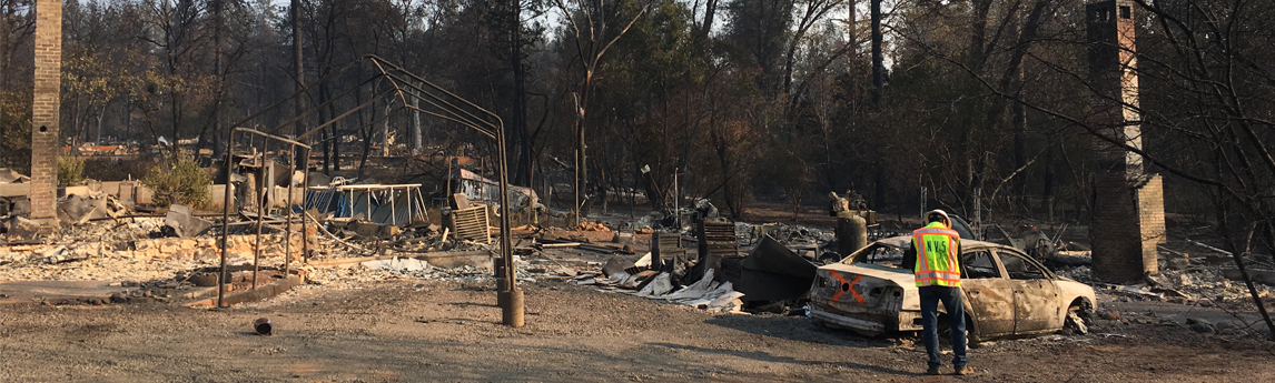
An NV5 principal engineer was retained by the American Society of Civil Engineers (ASCE)/California Governor’s Office of Emergency Services (Cal OES) as a volunteer to assist with emergency relief services after the Camp Fire (2018). The Camp Fire was recorded as the deadliest fire in California history, and the deadliest[...]
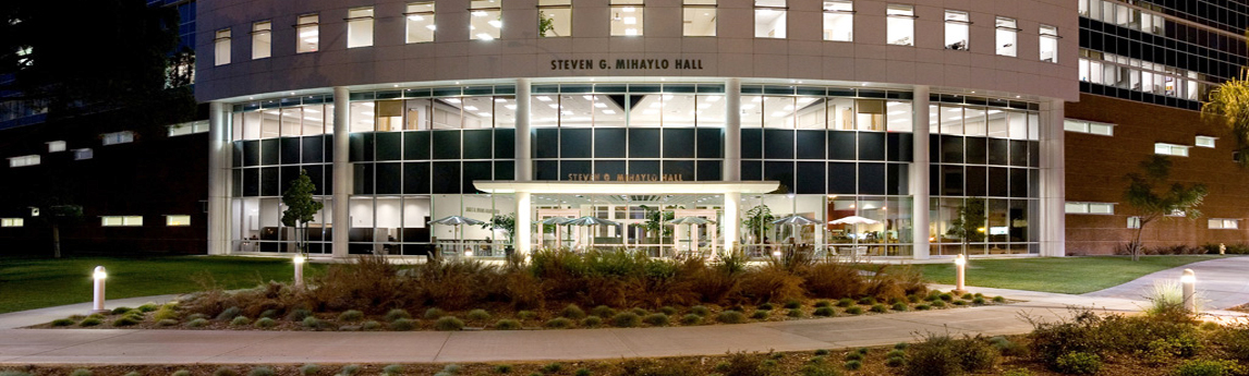
NV5 provided redevelopment and design of 8.3 acres on the California State University (CSU) Fullerton campus to build the College of Business and Economics complex, which includes three buildings and significant removals and renovation of the surrounding area. Services were provided for the schematic design, design development, building documents, and[...]
Keith Rosenbloom, founder of Cruiser Capital, and Jacob Soneshine of thestreet.com discuss how well NV5 is positioned for future growth and performance. We believe good governance drives value – Keith Rosenbloom Click here to read the article. Source: TheStreet, Jacob Soneshine
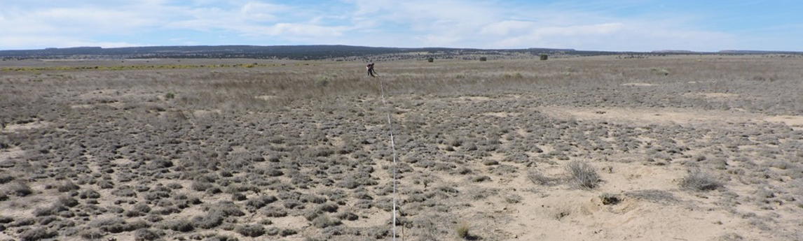
This large survey incorporated all resource- and inventory‑related tasks, including an environmental assessment and biological and cultural surveys and corresponding reports. The undertaking consisted of an extensive stimulus‑funded upgrade to the wastewater system of Laguna Pueblo with the project area consisting of a web of linear pipeline corridors covering much[...]
The U.S. Environmental Protection Agency (EPA) proposed to remove mine waste from four former uranium mines in the Ambrosia Lake Sub-District north of Grants, McKinley County. NV5 was tasked with completing ecological and cultural resource studies over 2,300 acres, which included private, state, and federal lands. The ecological services included[...]
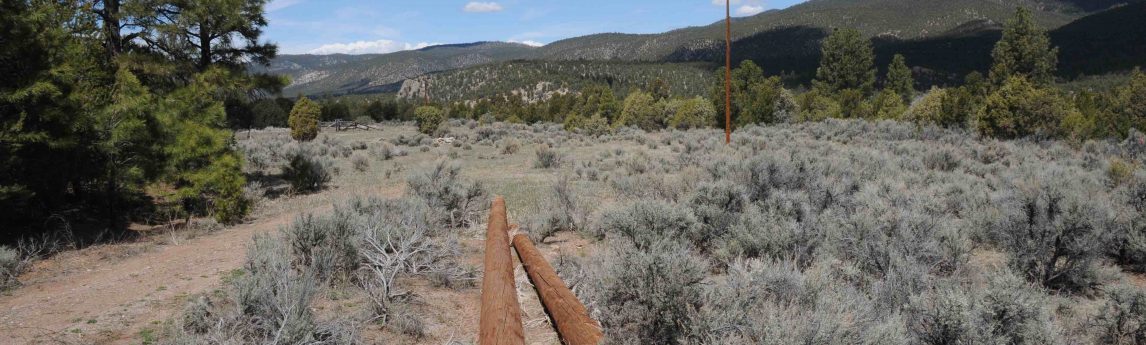
The Pueblo of Picuris (Pueblo) and the Northern Pueblos Housing Authority proposed to construct and operate a solar photovoltaic facility, which would consist of a ground-mounted, single-axis array. When operational, the solar panels would tilt to track the angle of the sun to obtain maximum energy. The electric power produced[...]
With the extreme hurricanes that have happened in the past year, most notably hurricanes Harvey, Irma, Maria and Florence – the topic of Flood Insurance is top of mind. Many lenders have strict requirements stating that the borrower must purchase flood insurance on properties that exist in areas that are[...]
Quantum Spatial (QSI), the nation’s largest independent geospatial analytics firm, will showcase its cutting-edge applications for surveying and mapping, using high-resolution topographic and bathymetric LiDAR and hyperspectral imagery, during GeoWeek, January 25-31 in Denver. QSI will feature numerous projects that include remote sensing and advanced analytics for a wide range[...]
Form #2 - Sends email containing the link to the PDF
"*" indicates required fields
eNewsletter - NV5 Real Estate Transaction Services
Contact NV5 Real Estate Transaction Services
Download NV5 2022 Compliance Calendar
Please fill out the form below. After successful form submission, you will be redirected to the requested file. Thank you.
"*" indicates required fields
Hyperspectral Imaging - Technically Speaking
Our internal innovation and development team constantly analyzes new technology and develops solutions to meet our client’s challenges. Our Technically Speaking series is one way we share our technical findings with the professional community.
Please tell us a little about yourself by filling out the form below, and we’ll share the document with you, thanks!
Accuracy Part 1- Technically Speaking
Our internal innovation and development team constantly analyzes new technology and develops solutions to meet our client’s challenges. Our Technically Speaking series is one way we share our technical findings with the professional community.
Please tell us a little about yourself by filling out the form below, and we’ll share the document with you, thanks!
Prune Optimization Webinar Recording
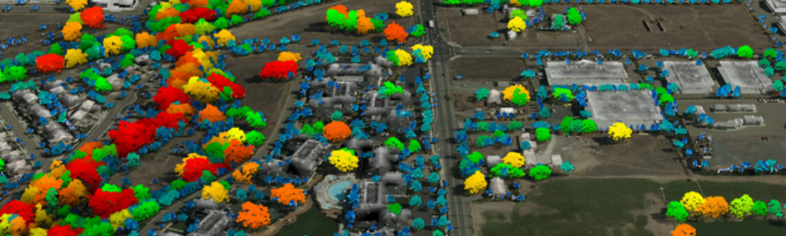
NV5 Geospatial releases a new predictive modeling platform for vegetation management that uses existing lidar and historical data to identify the relative level of asset risk from trees by quantifying the potential for causing asset damage.
Please tell us a little about yourself by filling out the form below, and we’ll share the document with you, thanks!
Topobathy Lidar - Technically Speaking
Our internal innovation and development team constantly analyzes new technology and develops solutions to meet our client’s challenges. Our Technically Speaking series is one way we share our technical findings with the professional community.
Please tell us a little about yourself by filling out the form below, and we’ll share the document with you, thanks!