Webinar Information: Our Understanding WA HB1257 – The Clean Buildings Standard And What It Means For You webinar took place on Thursday, January 13, 2022. View the Recording About HB 1257: Here’s What You Need to Know Starting in 2026, most existing commercial buildings (including schools and dormitories) in Washington[...]
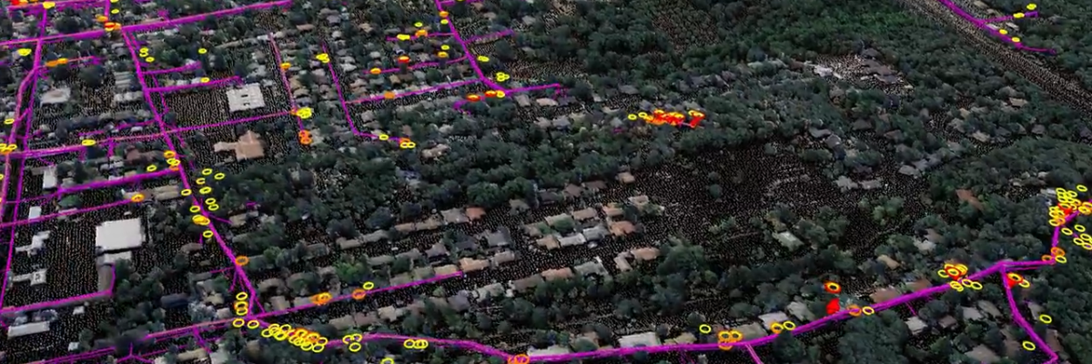
Asset and Vegetation Management Applications Help Utilities Minimize Risk and Improve Reliability of Electric Distribution Network HOLLYWOOD, Fla., October 11, 2022 – NV5 Geospatial, North America’s most comprehensive geospatial data firm, is transforming the way utilities manage their distribution networks with remote sensing data analysis. Having mapped more than 5.5[...]
We extend our heartfelt congratulations to our very own Tim Saultz, who was awarded The Distinguished Service Award, the highest honorary recognition an employee can receive within the Department of the Interior. Tim dedicated more than 25 years to the U.S. Geological Survey (USGS) and was essential in developing consistent[...]
Form #2 - Sends email containing the link to the PDF
"*" indicates required fields
eNewsletter - NV5 Real Estate Transaction Services
Contact NV5 Real Estate Transaction Services
Download NV5 2022 Compliance Calendar
Please fill out the form below. After successful form submission, you will be redirected to the requested file. Thank you.
"*" indicates required fields
Hyperspectral Imaging - Technically Speaking
Our internal innovation and development team constantly analyzes new technology and develops solutions to meet our client’s challenges. Our Technically Speaking series is one way we share our technical findings with the professional community.
Please tell us a little about yourself by filling out the form below, and we’ll share the document with you, thanks!
Accuracy Part 1- Technically Speaking
Our internal innovation and development team constantly analyzes new technology and develops solutions to meet our client’s challenges. Our Technically Speaking series is one way we share our technical findings with the professional community.
Please tell us a little about yourself by filling out the form below, and we’ll share the document with you, thanks!
Prune Optimization Webinar Recording
NV5 Geospatial releases a new predictive modeling platform for vegetation management that uses existing lidar and historical data to identify the relative level of asset risk from trees by quantifying the potential for causing asset damage.
Please tell us a little about yourself by filling out the form below, and we’ll share the document with you, thanks!
Topobathy Lidar - Technically Speaking
Our internal innovation and development team constantly analyzes new technology and develops solutions to meet our client’s challenges. Our Technically Speaking series is one way we share our technical findings with the professional community.
Please tell us a little about yourself by filling out the form below, and we’ll share the document with you, thanks!