Local governments have been using Geographic Information Systems (GIS) in some capacity for decades now, making it easier to collect, manage, and share large sets of spatial data. But the real opportunity isn’t just managing data more efficiently. It’s making the data more usable. Public data should not sit in[...]
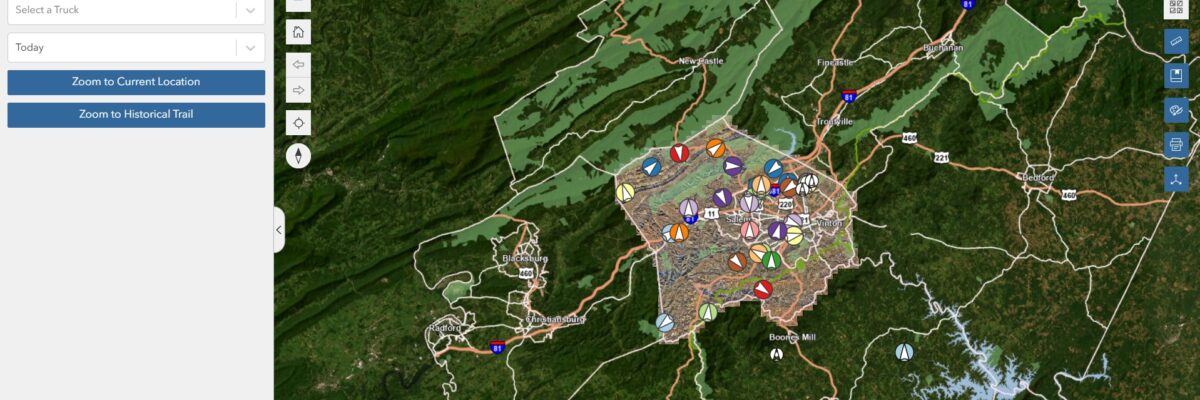
Expert NV5 Speakers to Present on Bathymetric Lidar, Airborne Mapping, Remote Sensing Innovation, Photogrammetry, ASPRS Standards, and the Future of Geospatial Intelligence Roanoke County, VA, in collaboration with NV5, is pioneering a data-driven approach to waste management by integrating real-time tracking, predictive analytics, and sensor-based monitoring into trash collection operations.[...]
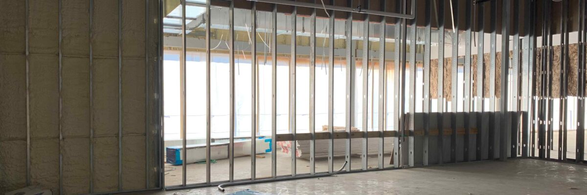
By Julie Fischer, INCE, LEED AP BD+C When designing spaces that prioritize acoustic comfort, whether hospitals, schools, or office buildings, sound isolation is often a top concern. Although, one critical factor frequently overlooked is the stud gauge used in wall partitions. It’s not just a structural detail; it’s an acoustic[...]
By Michael Frank, Associate Principal with NV5 in Raleigh, NC Previously, we explored the topic of revitalizing underused spaces by transforming them into vibrant hubs that support gaming, community building, and educational opportunities. This growing movement blends technology, curriculum development, and immersive design to create environments that prepare students for[...]
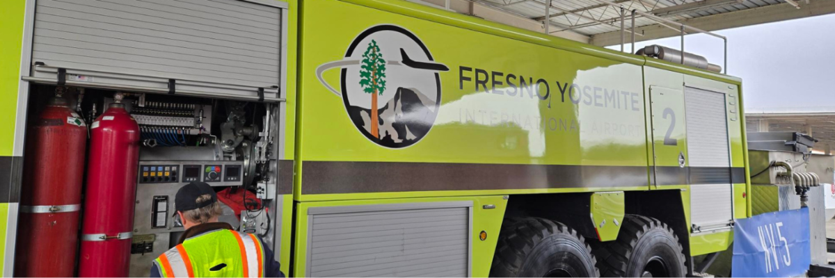
Fresno International Airport | City of Fresno Project Overview Fresno International Airport (FAT), operated by the City of Fresno, initiated a strategic transition from aqueous film-forming foam (AFFF) to fluorine-free foam (F3) in response to updated Federal Aviation Administration (FAA) requirements and increasing regulatory scrutiny surrounding per- and polyfluoroalkyl substances[...]
Expert NV5 Speakers to Present on Bathymetric Lidar, Airborne Mapping, Remote Sensing Innovation, Photogrammetry, ASPRS Standards, and the Future of Geospatial Intelligence NV5, the world’s leading provider of geospatial software and services, will demonstrate how it is helping government and enterprise organizations solve mission‑critical challenges through advanced GeoAI, remote sensing,[...]
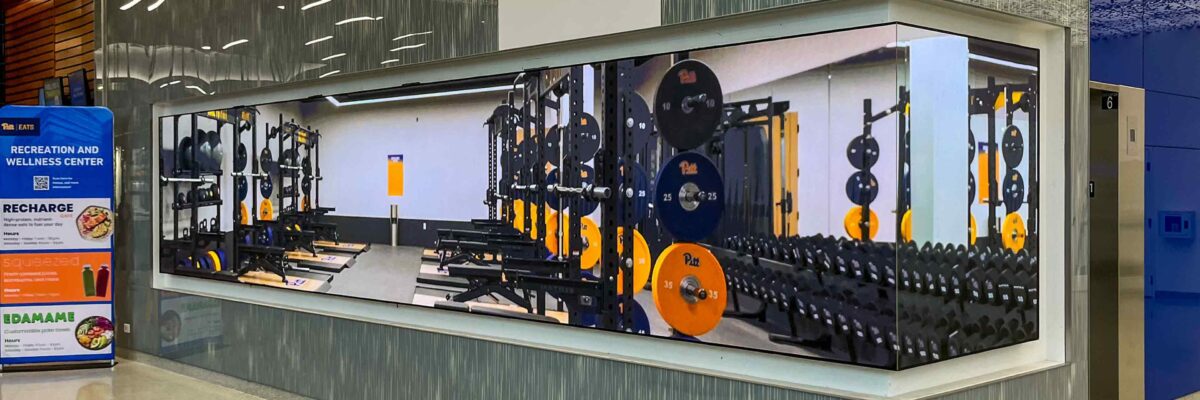
By Joe Hammett, CTS-D, Senior Audiovisual Designer with NV5 in Pittsburgh, PA Direct view LED (dvLED) has evolved from a specialty display to a core design element shaping how organizations communicate, inspire, and engage. Its versatility in size, shape, and configuration enables a range of solutions from traditional rectangular displays[...]
NV5 today announced the launch of GeoAgent™, an agentic AI platform that automatically discovers and analyzes data and produces geospatial intelligence using natural language interaction.[...]
Form #2 - Sends email containing the link to the PDF
"*" indicates required fields
eNewsletter - NV5 Real Estate Transaction Services
Contact NV5 Real Estate Transaction Services
Download NV5 2022 Compliance Calendar
Please fill out the form below. After successful form submission, you will be redirected to the requested file. Thank you.
"*" indicates required fields
Hyperspectral Imaging - Technically Speaking
Our internal innovation and development team constantly analyzes new technology and develops solutions to meet our client’s challenges. Our Technically Speaking series is one way we share our technical findings with the professional community.
Please tell us a little about yourself by filling out the form below, and we’ll share the document with you, thanks!
Accuracy Part 1- Technically Speaking
Our internal innovation and development team constantly analyzes new technology and develops solutions to meet our client’s challenges. Our Technically Speaking series is one way we share our technical findings with the professional community.
Please tell us a little about yourself by filling out the form below, and we’ll share the document with you, thanks!
Prune Optimization Webinar Recording
NV5 Geospatial releases a new predictive modeling platform for vegetation management that uses existing lidar and historical data to identify the relative level of asset risk from trees by quantifying the potential for causing asset damage.
Please tell us a little about yourself by filling out the form below, and we’ll share the document with you, thanks!
Topobathy Lidar - Technically Speaking
Our internal innovation and development team constantly analyzes new technology and develops solutions to meet our client’s challenges. Our Technically Speaking series is one way we share our technical findings with the professional community.
Please tell us a little about yourself by filling out the form below, and we’ll share the document with you, thanks!