HOLLYWOOD, Fla., April 19, 2018 (GLOBE NEWSWIRE) — NV5 Global, Inc.(Nasdaq:NVEE)(“NV5” or the “Company”), a professional and technical engineering and consulting solutions provider, announced today that it was selected to provide landscape architecture design services to the New York City Department of Parks and Recreation (NYCDPR) for the reconstruction of[...]
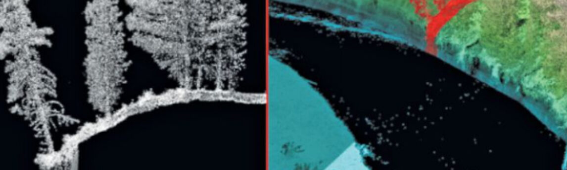
Colin Cooper and Russ Faux discuss the possibilities of topobathy LiDAR survey and evaluate the latest sensor technology and deployment methods in the most recent issue of xyht magazine. Read the full article HERE
Hollywood, FL – April 16, 2018 – NV5 Global, Inc. (the “Company” or “NV5”) (Nasdaq: NVEE), a provider of professional and technical engineering and consulting solutions, will announce its financial results for the first quarter ended March 31, 2018 on Thursday, May 3, 2018, following the close of the markets.[...]
Hollywood, FL – April 12, 2018 – NV5 Global, Inc. (Nasdaq: NVEE) (“NV5” or the “Company”), a professional and technical engineering and consulting solutions provider, accepted a diamond award at ACEC New York’s Annual Engineering Excellence Awards Gala on April 7th at the Hilton Midtown in New York City. NV5[...]
Retrocommissioning (RCx), or the assessment and optimization of building performance, is a scientific process that relies strongly on data and technology to deliver effective and reliable results. The tools required to complete the task include the review of existing drawings and energy bills, interviews with building operators, data-logging devices, as[...]
Why Zoning Matters for Commercial Real Estate For many years, reporting of zoning information has been a source of disagreement between the surveying industry and the parties who review the survey. The Minimum Standards Detail Requirements clearly state what the surveyor can provide in preparation of the ALTA/NSPS Land Title[...]
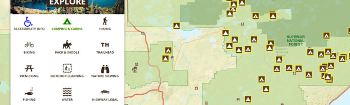
Cherie Jarvis, Quantum Spatial’s Enterprise GIS Practice Lead, recently shared her insights into the benefits and best practices of agile software development in a SD Times article, which explains the significance of the agile approach within government agencies, highlighting the US Forest Service’s Interactive Visitor Map. She explains how speed[...]
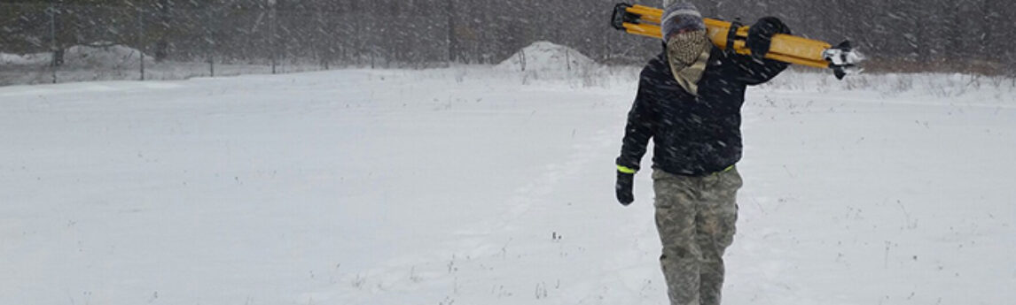
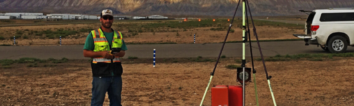
In celebration of National Surveyors Week, we’re spotlighting some of our dedicated surveyors and sharing their insights of a survey career. If you are interested in employment opportunities check out our openings HERE. Or, get in touch with us: 800.558.6707 / contact@quantumspatial.com Zeke Ingram Field Surveyor, 5 years at Quantum[...]
NV5 received two awards at the Environmental Industry Summit XVI in San Diego, California on March 21, 2018. The firm took home the Environmental Business Journal’s (EBJ) Gold Award for Business Achievement – Large Companies (over $200M) and a Business Achievement Award for Mergers & Acquisitions. In addition, Richard Tong,[...]
In celebration of National Surveyors Week, we’re spotlighting some of our dedicated surveyors and sharing their insights of a survey career. If you are interested in employment opportunities check out our openings HERE. Or, get in touch with us: 800.558.6707 / contact@quantumspatial.com Marc Nabelek Field Surveyor, 6 years at Quantum[...]
Form #2 - Sends email containing the link to the PDF
"*" indicates required fields
eNewsletter - NV5 Real Estate Transaction Services
Contact NV5 Real Estate Transaction Services
Download NV5 2022 Compliance Calendar
Please fill out the form below. After successful form submission, you will be redirected to the requested file. Thank you.
"*" indicates required fields
Hyperspectral Imaging - Technically Speaking
Our internal innovation and development team constantly analyzes new technology and develops solutions to meet our client’s challenges. Our Technically Speaking series is one way we share our technical findings with the professional community.
Please tell us a little about yourself by filling out the form below, and we’ll share the document with you, thanks!
Accuracy Part 1- Technically Speaking
Our internal innovation and development team constantly analyzes new technology and develops solutions to meet our client’s challenges. Our Technically Speaking series is one way we share our technical findings with the professional community.
Please tell us a little about yourself by filling out the form below, and we’ll share the document with you, thanks!
Prune Optimization Webinar Recording
NV5 Geospatial releases a new predictive modeling platform for vegetation management that uses existing lidar and historical data to identify the relative level of asset risk from trees by quantifying the potential for causing asset damage.
Please tell us a little about yourself by filling out the form below, and we’ll share the document with you, thanks!
Topobathy Lidar - Technically Speaking
Our internal innovation and development team constantly analyzes new technology and develops solutions to meet our client’s challenges. Our Technically Speaking series is one way we share our technical findings with the professional community.
Please tell us a little about yourself by filling out the form below, and we’ll share the document with you, thanks!