The suitcases have been unpacked, the souvenirs put away, the business cards classified and follow up emails written. It is time to draw the curtains on the symposium and reflect on the event, the presentations and what it portends for the future of our profession. The overwhelming response and level[...]
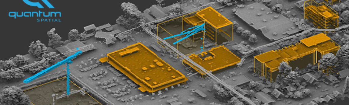
Sharita Towne, artist in residence at Newspace Center for Photography, worked with Quantum Spatial to visualize neighborhood changes using 3D LiDAR data. The final change detection map is about eight feet long and fills the 2008-2014 slot on her gallery timeline. The imagery is a part of her larger exhibition,[...]
HOLLYWOOD, FL — (Marketwired) — 09/23/16 — NV5 Global, Inc. (the “Company” or “NV5”) (NASDAQ: NVEE), a provider of professional and technical engineering and consulting solutions, announced today that it was selected to perform Resident Engineering Services on several transportation infrastructure projects throughout New York. The RBA/NV5 construction services team[...]
The sophistication of modern survey equipment in the last twenty years, which includes global positioning systems, land surveyor software and robotics, has allowed for greater levels of precision in the field than was possible in the past. Unfortunately, these technological advancements can result in differences in a surveyor’s measurements, observations[...]
In September, The Fly, a leading digital publisher of real-time financial news, interviewed NV5 Chairman and CEO Dickerson Wright about the Company’s long and short-term plans for growth: Click here to read Meet NV5 Global: A talk with CEO Dickerson Wright The Fly aims to be first in breaking market-moving[...]
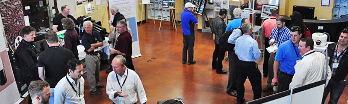
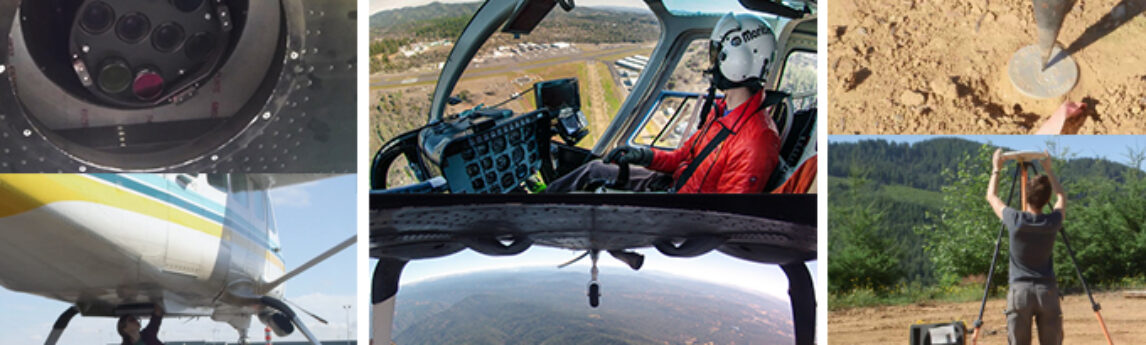
With a total of 73 industry attendees, bringing together sensor manufacturers, their operators, and data users, the emphasis of Day 1 was put mostly on introductions and making connections with an overview of technological advancements. This set the stage on Day 2 for a panel discussion on data acquisition collaboration[...]
Our first Quantum Spatial Acquisition Partner summit got off to a very successful start today. We planned for about 40 participants. In the room today, we had 76 participants from all over the world. The energy level of the partners – many of whom had flown overnight from Europe and[...]
On September 20, the Quantum Spatial Remote Sensing Innovation Center will kick-off our inaugural technology summit focusing on acquisition. Seventy-three of the world’s leading geospatial experts in our industry will come together for 2 days to exchange ideas and advance the state-of-the-art technology for our clients. These professionals represent 33[...]
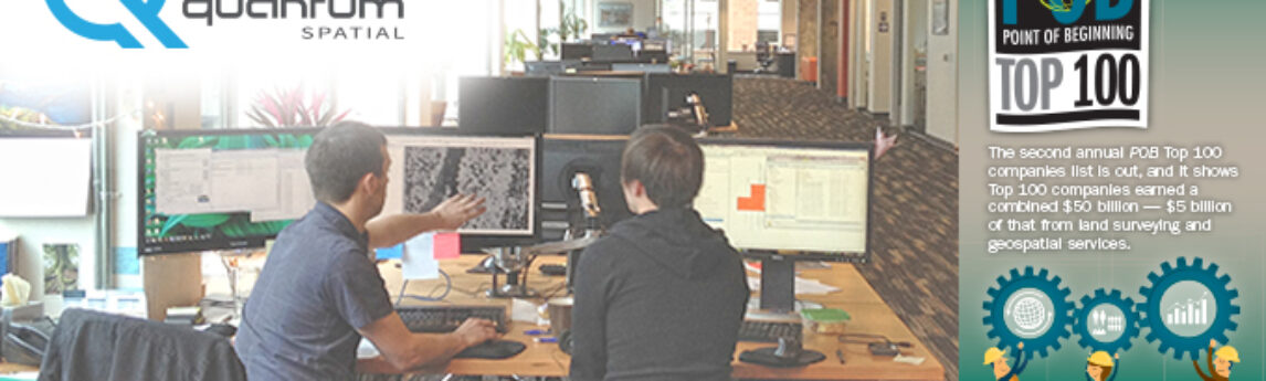
Point of Business (POB) released their list of top companies in the geospatial industry and identified Quantum Spatial in the topmost tier of businesses. Here is a snippet from the article: “In fact, a couple of these firms earn more geospatial revenue than their larger, multi-discipline counterparts. Examples include Quantum[...]
HOLLYWOOD, FL — (Marketwired) — 09/13/16 — NV5 Global, Inc. (the “Company” or “NV5”) (NASDAQ: NVEE), a provider of professional and technical engineering and consulting solutions, announced today that it has acquired Weir Environmental, L.L.C. (Weir), a New Orleans, Louisiana-based emergency remediation and environmental assessment firm. Weir has been instrumental[...]
Form #2 - Sends email containing the link to the PDF
"*" indicates required fields
eNewsletter - NV5 Real Estate Transaction Services
Contact NV5 Real Estate Transaction Services
Download NV5 2022 Compliance Calendar
Please fill out the form below. After successful form submission, you will be redirected to the requested file. Thank you.
"*" indicates required fields
Hyperspectral Imaging - Technically Speaking
Our internal innovation and development team constantly analyzes new technology and develops solutions to meet our client’s challenges. Our Technically Speaking series is one way we share our technical findings with the professional community.
Please tell us a little about yourself by filling out the form below, and we’ll share the document with you, thanks!
Accuracy Part 1- Technically Speaking
Our internal innovation and development team constantly analyzes new technology and develops solutions to meet our client’s challenges. Our Technically Speaking series is one way we share our technical findings with the professional community.
Please tell us a little about yourself by filling out the form below, and we’ll share the document with you, thanks!
Prune Optimization Webinar Recording
NV5 Geospatial releases a new predictive modeling platform for vegetation management that uses existing lidar and historical data to identify the relative level of asset risk from trees by quantifying the potential for causing asset damage.
Please tell us a little about yourself by filling out the form below, and we’ll share the document with you, thanks!
Topobathy Lidar - Technically Speaking
Our internal innovation and development team constantly analyzes new technology and develops solutions to meet our client’s challenges. Our Technically Speaking series is one way we share our technical findings with the professional community.
Please tell us a little about yourself by filling out the form below, and we’ll share the document with you, thanks!