AI-Driven Geospatial Insights for Your Entire Organization
Geospatial data is more abundant than ever, yet its value often remains locked behind specialized tools and knowledge. Not anymore!
Introducing GeoAgent™, your intelligent geospatial assistant that’s designed to understand your mission, interpret your intent, and automatically build and execute end-to-end workflows. GeoAgent Agentic AI is part of our GeoAI that automates data discovery, analysis, and the production of results, helping teams move faster, make better decisions, and scale geospatial insight across the enterprise.
GeoAgent’s End-to-end Capabilities
From identifying the right data to analyzing multimodal datasets to publishing results where they’re needed, GeoAgent takes care of it all.
GeoAgent brings geospatial capability into a modern AI chat interface (think ChatGPT).
GeoAgent interprets your prompt, determines your intent, and automatically constructs geospatial workflows on demand.
Unlike standalone LLMs, GeoAgent understands geospatial context and can find the right data to solve the problem.
GeoAgent runs geospatial processing and analysis tools for data types ranging from lidar and SAR to spectral, FMV, and vector data, and converts them into tailored, meaningful outputs.
Our Agentic AI for GIS can instantly generate vectors, annotated products, and processing summaries, making GeoAgent the first of its kind.
Supports and delivers outputs into GIS platforms, remote sensing tools, planning systems, and situational awareness dashboards.
Every step is logged and reasoning and parameter choices are explained, providing full transparency.
Enables seamless orchestration across systems, tools, and data.
Example Applications for GeoAgent
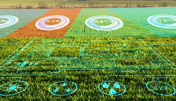
Environmental & Agricultural
GeoAgent automatically retrieves data from image archives for my specified time ranges, applies machine learning to delineate fields, and tracks crop growth and rotations.
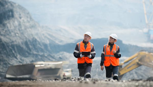
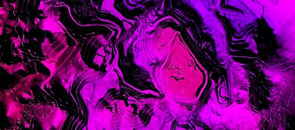
Mineral Exploration
GeoAgent locates imagery for the area of interest, identifies spectral ranges, performs continuum removal to isolate diagnostic absorption bands, runs material classification, and publishes the results to an ArcGIS Online dashboard.
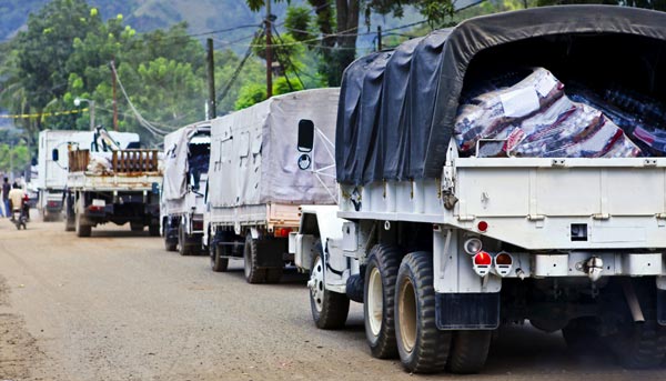
Emergency Response
GeoAgent quickly finds available imagery, detects flood water, intersects the results with roads, and pushes a shareable map to response teams, supporting critical decisions.
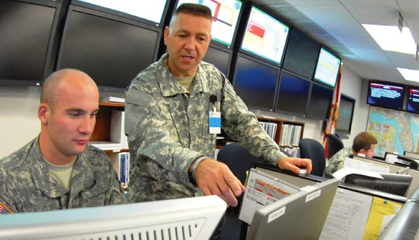
Military
GeoAgent queries image catalogs, applies machine learning models to identify and classify aircraft, vessels, and vehicles, and creates a common operational picture for command staff.
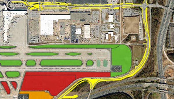
Urban Planning
GeoAgent uses agentic AI to retrieve and clip relevant imagery for AOIs, extract land-use indicators, and deliver ready-to-review datasets to planners.
Infrastructure Monitoring
GeoAgent fetches time-series SAR data, identifies changes, retrieves optical data and performs land use classification and publishes risk overlays, making proactive protection easier.
Support for Non-Experts and Experts Alike
GeoAgent simplifies complex tasks and accelerates decision-making by bridging knowledge gaps – so everyone from analysts to non-technical team members can get expert-level insights. It uses Agentic AI to guide users with context, prompts for key inputs, and explains decisions so everyone can make informed choices without deep technical GIS expertise.
For Non-Experts
Non-experts can simply ask GeoAgent: “Using data I just uploaded, identify critical minerals such as Neodymium (Nd) in the Mountain Pass mine in California.”
GeoAgent will:
- Load the appropriate spectral data automatically
- Identify diagnostic absorption bands
- Apply continuum removal
- Perform material classification
- Publish results to the user’s GIS
- Explain each step in plain language
No geospatial training required.
For Experts
- Recommends tools and parameters based on best practices
- Serves as a sounding board to confirm ideas
- Automates repetitive tasks and gets to answers quicker than manual efforts
- Logs every choice for auditability
- Runs complex, multi-step workflows while analysts maintain full control
- Pulls in knowledge from adjacent domains
- Takes meticulous notes if desired

GeoAgent speeds up expert work without sacrificing rigor, freeing analysts to focus on interpretation, not tool manipulation.
Benefits of GeoAgent

Go from question to actionable insights in minutes.
Empower non-experts while supercharging analytic teams.
Spectral, SAR, lidar, video, and vector data among others – GeoAgent handles it.
Incorporates insights from expert-built and user-provided workflows to reason, adapt, and deliver dynamic solutions.
The Agentic AI of GeoAgent allows you to automate repetitive, time-consuming processes and free personnel to focus on high-value analysis.
Results flow cleanly into GIS, remote-sensing tools, and mission systems.
Every step is logged, explained, and reviewable, ideal for high-stakes decisions.
Built for agent-to-agent communication and scalable orchestration across platforms.
GeoAgent is ready to show and discuss. Let’s talk about your users, your workflows, and how we can tailor GeoAgent to meet your team’s needs.