Hydrographic Survey
Marine Science Meets Survey Expertise
WHAT WE DO
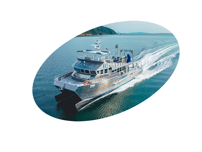
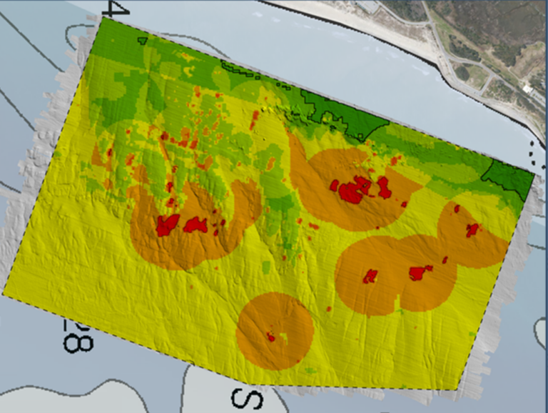
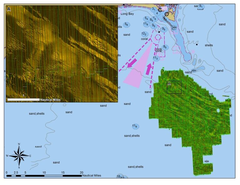
Our hydrographic expertise includes the most challenging of aquatic environments from shallowest inland waters to the deep ocean. Using our fleet of calibrated survey vessels or aboard ships offshore, we provide our clients with high resolution bathymetric, acoustic backscatter, and water column data that strictly adhere to the highest IHO, USACE and NOAA charting standards.
NV5 has held the Esri Platinum Partner status in the Esri Partner Network since 2010 and maintains seven Esri specialty designations, NV5’s staff are experienced and maintain key certifications across the Esri environment.
Not All Boats are Created Equal – The Importance of Dedicated Marine Survey Vessels for Offshore Wind Siting
Learn how NV5 utilizes their dedicated fleet to perform deep sea and nearshore bathymetric survey in the latest issue of Ocean News & Technology Learn more
NV5 recognized by MAPPS for outstanding work in coastal resiliency via bathymetry mapping in Laguna Madre, TX
NV5 earned the Excellence Award in Surveying/Field Data Collection, announced at the 2023 MAPPS Winter Conference. Learn more
NOAA Selects NV5 for Extensive Hydrographic Survey in North Carolina
A task order features unique survey approach to deliver valuable charting data that will also support environmental and coastal resilience efforts. Learn more
Contact Us
Technical Expertise
Multi-Beam Echosounder
Multibeam echosounder
Sub bottom Profiler
Sub bottom profiler
side scan sonar
side scan sonar
Transverse Gradiometer
Shoreline Mapping and Topographic Survey
Benthic Habitat Mapping
Hydrology, Hydraulics, and Inundation
High-resolution lidar data improves flood hazard maps; predictive flood, storm surge, and tsunami inundation maps; and hydrologic and hydraulic modeling within coastal catchments. Our data is advancing coastal intelligence and resiliency to better protect and prepare communities and shoreline resources in a dynamic coastal environment.
Coastal Land Cover & Change Analysis
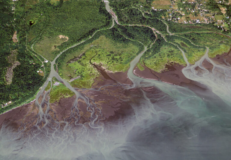
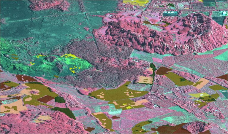
With the aid of recurring surveys and temporal comparisons, our trend analyses quantify, model, and visualize important changes taking place along coastal environments. Detecting and quantifying these patterns empowers planners and resource managers to accurately evaluate, respond, monitor, predict or mitigate change, improving knowledge and enhancing preparedness.