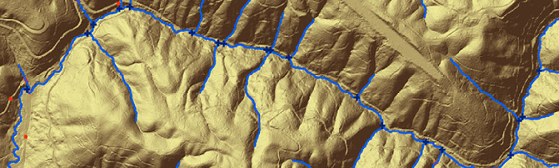
By Tarika Hanawalt While many governments and organizations use the geospatial data we provide, what the public sees is often just a detailed map or two. And if they do make all the datasets public, it can take months, if not years, before others can access it. But that’s not[...]
By Kurt Allen, Quantum Spatial Vice President Federal Vertical Lead After witnessing firsthand the devastation landslides cause across a number of states, including Alaska, California and Washington, we believe the bipartisan, bicameral National Landslide Preparedness Act recently announced by Sen. Marie Cantwell (D-Wash.) and Sen. Lisa Murkowski (R-Alaska), ranking member[...]
HOLLYWOOD, Fla., April 20, 2017 (GLOBE NEWSWIRE) — NV5 Global, Inc. (the “Company” or “NV5”) (Nasdaq:NVEE), a provider of professional and technical engineering and consulting solutions, will announce its financial results for the first quarter ended April 1, 2017 on Thursday, May 4, 2017, following the close of the markets.[...]
Written by Steve Raber, Quantum Spatial Senior Program Manager April 20th marks the day when, seven years ago, BP’s offshore drilling rig Deepwater Horizon suffered a catastrophic failure and set off one of the largest oil spills in history. During the nearly five months until the well was declared sealed,[...]
Alternate Measures for Large Properties – Optional Table A Item 15 For ALTA surveys of large properties, it may be beneficial to consider Optional Table A Item 15. Requesting this item frequently benefits the ordering party with both cost savings and shorter time frames to complete the survey work. Item[...]
John Bixler, PE, LEED AP will present on the topic of “Energy Modeling as a Tool for Retrocommissioning” at the CxEnergy 2017 Conference & Expo being held in Orlando, FL April 24-27. John will speak on the mechanics of energy modeling, specific energy model inputs that can be enhanced by[...]
Hollywood, FL – April 17, 2016 – NV5 Global, Inc. (the “Company” or “NV5”) (Nasdaq: NVEE), a provider of professional and technical engineering and consulting solutions, announced today that it has acquired Bock & Clark Corporation (“Bock & Clark”), an established American Land Title Association (ALTA) surveying, commercial zoning, and[...]
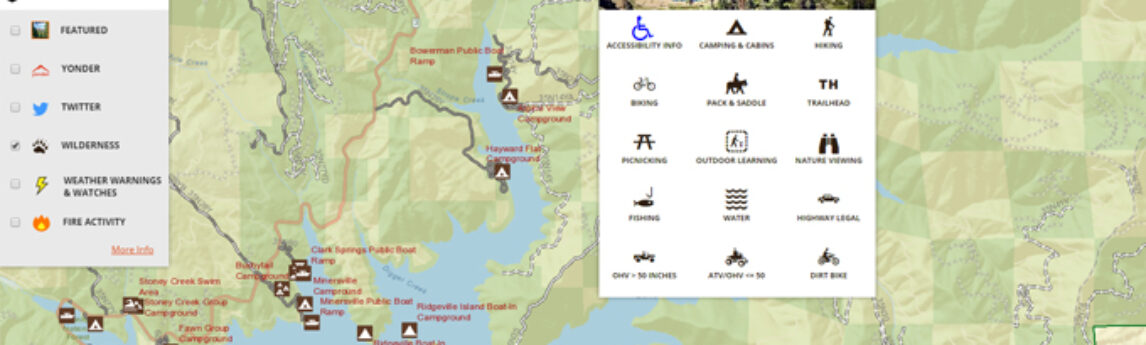
Quantum Spatial, Inc., the nation’s largest independent geospatial data firm, has worked with the U.S. Forest Service to continually improve its Interactive Visitor Map over the past year, giving the visitors access to easy-to-use, searchable resources through which they can discover and explore recreational opportunities in national forests. Using feedback[...]
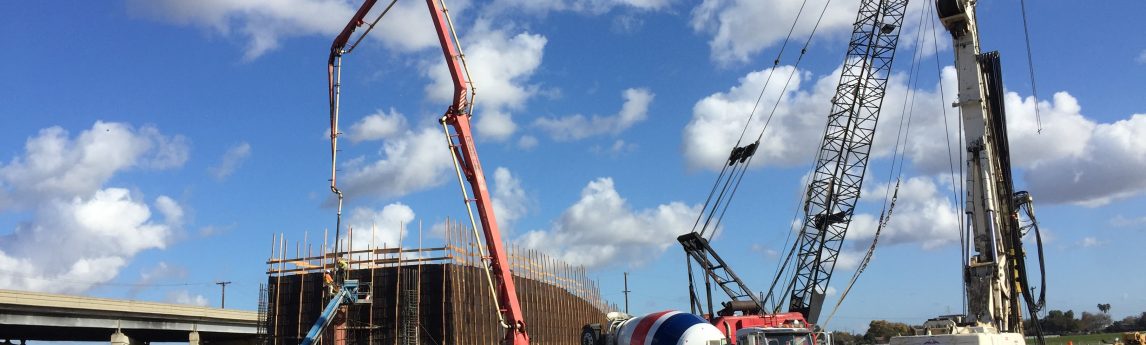
NV5 was selected by the City of Tracy as the prime consultant to provide full construction management services for the 11th Street – East Tracy Overhead Bridge Replacement Project. The City of Tracy proposes to replace the existing 1,441-foot long 11th Street Bridge over the Union Pacific Railroad tracks with[...]
NV5 was selected by the City of Sacramento as the prime consultant to provide full construction management services for the I-5 Riverfront Reconnection Project. This project will fulfill the need to reconnect downtown to the river. The I-5 Riverfront Reconnection Project proposes to construct a new connection of Capitol Mall[...]
Form #2 - Sends email containing the link to the PDF
"*" indicates required fields
eNewsletter - NV5 Real Estate Transaction Services
Contact NV5 Real Estate Transaction Services
Download NV5 2022 Compliance Calendar
Please fill out the form below. After successful form submission, you will be redirected to the requested file. Thank you.
"*" indicates required fields
Hyperspectral Imaging - Technically Speaking
Our internal innovation and development team constantly analyzes new technology and develops solutions to meet our client’s challenges. Our Technically Speaking series is one way we share our technical findings with the professional community.
Please tell us a little about yourself by filling out the form below, and we’ll share the document with you, thanks!
Accuracy Part 1- Technically Speaking
Our internal innovation and development team constantly analyzes new technology and develops solutions to meet our client’s challenges. Our Technically Speaking series is one way we share our technical findings with the professional community.
Please tell us a little about yourself by filling out the form below, and we’ll share the document with you, thanks!
Prune Optimization Webinar Recording
NV5 Geospatial releases a new predictive modeling platform for vegetation management that uses existing lidar and historical data to identify the relative level of asset risk from trees by quantifying the potential for causing asset damage.
Please tell us a little about yourself by filling out the form below, and we’ll share the document with you, thanks!
Topobathy Lidar - Technically Speaking
Our internal innovation and development team constantly analyzes new technology and develops solutions to meet our client’s challenges. Our Technically Speaking series is one way we share our technical findings with the professional community.
Please tell us a little about yourself by filling out the form below, and we’ll share the document with you, thanks!