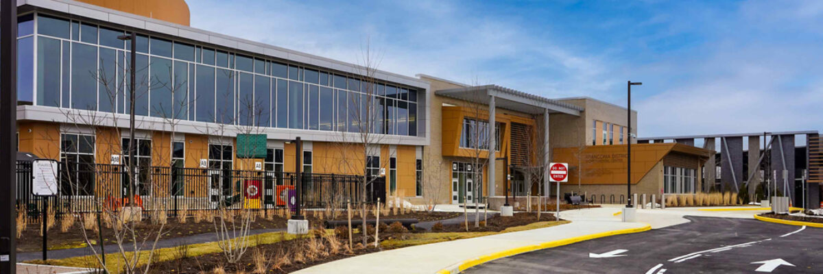
The Franconia District Government Services Campus and Kingstowne Regional Library bring together a wide range of civic functions within a single, highly coordinated environment. The 90,000 square foot facility supports public safety operations, community services, and public engagement for more than 137,000 residents. It replaces aging infrastructure with a modern[...]
Artificial intelligence is transforming the geospatial industry, but many organizations struggle to move beyond isolated pilots and proof-of-concepts. In this GIM International article, NV5 explores why operationalizing GeoAI requires more than deploying models, it requires aligning data, workflows, enterprise systems, and organizational objectives. Learn how NV5’s GeoAI Acceleration Program is[...]
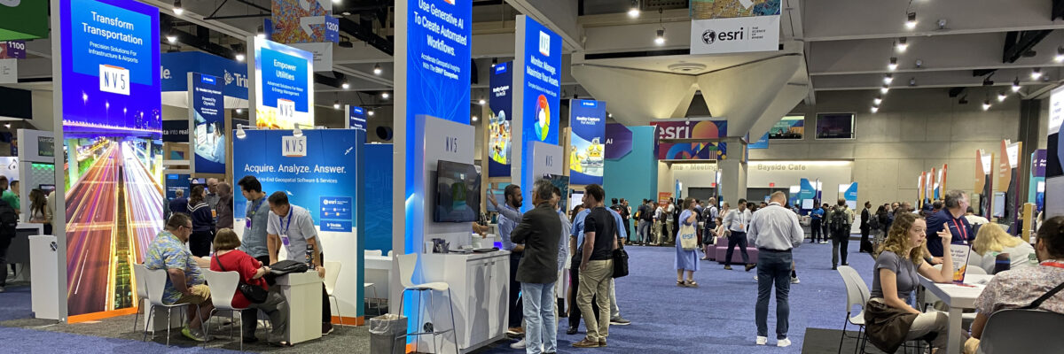
Every year, the Esri User Conference brings together thousands of geospatial professionals to explore new technologies, share ideas, and learn how organizations are solving complex challenges with GIS. For many members of the NV5 team, attending Esri UC is an annual tradition. Some have attended for more than 15 years.[...]
NV5 has been featured in a new Autodesk customer story highlighting how NV5 worked with Autodesk and ARKANCE to standardize workflows, improve data management, and scale digital twin capabilities across its operations. The article explores how NV5 used Autodesk’s Business Success Plan to align people, processes, and technology around measurable[...]
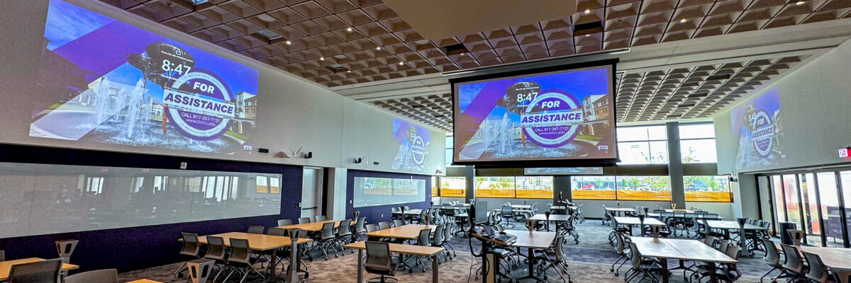
By Mike Tomei, CTS-D, CTS-I We hear the term “futureproofing” all the time in technology design, but what does it really mean? Owners ask for it, designers promise it, yet it’s not always clear what the term is referring to. It’s easiest to start by defining what futureproofing is not.[...]
Form #2 - Sends email containing the link to the PDF
"*" indicates required fields
eNewsletter - NV5 Real Estate Transaction Services
Contact NV5 Real Estate Transaction Services
Download NV5 2022 Compliance Calendar
Please fill out the form below. After successful form submission, you will be redirected to the requested file. Thank you.
"*" indicates required fields
Hyperspectral Imaging - Technically Speaking
Our internal innovation and development team constantly analyzes new technology and develops solutions to meet our client’s challenges. Our Technically Speaking series is one way we share our technical findings with the professional community.
Please tell us a little about yourself by filling out the form below, and we’ll share the document with you, thanks!
Accuracy Part 1- Technically Speaking
Our internal innovation and development team constantly analyzes new technology and develops solutions to meet our client’s challenges. Our Technically Speaking series is one way we share our technical findings with the professional community.
Please tell us a little about yourself by filling out the form below, and we’ll share the document with you, thanks!
Prune Optimization Webinar Recording
NV5 Geospatial releases a new predictive modeling platform for vegetation management that uses existing lidar and historical data to identify the relative level of asset risk from trees by quantifying the potential for causing asset damage.
Please tell us a little about yourself by filling out the form below, and we’ll share the document with you, thanks!
Topobathy Lidar - Technically Speaking
Our internal innovation and development team constantly analyzes new technology and develops solutions to meet our client’s challenges. Our Technically Speaking series is one way we share our technical findings with the professional community.
Please tell us a little about yourself by filling out the form below, and we’ll share the document with you, thanks!