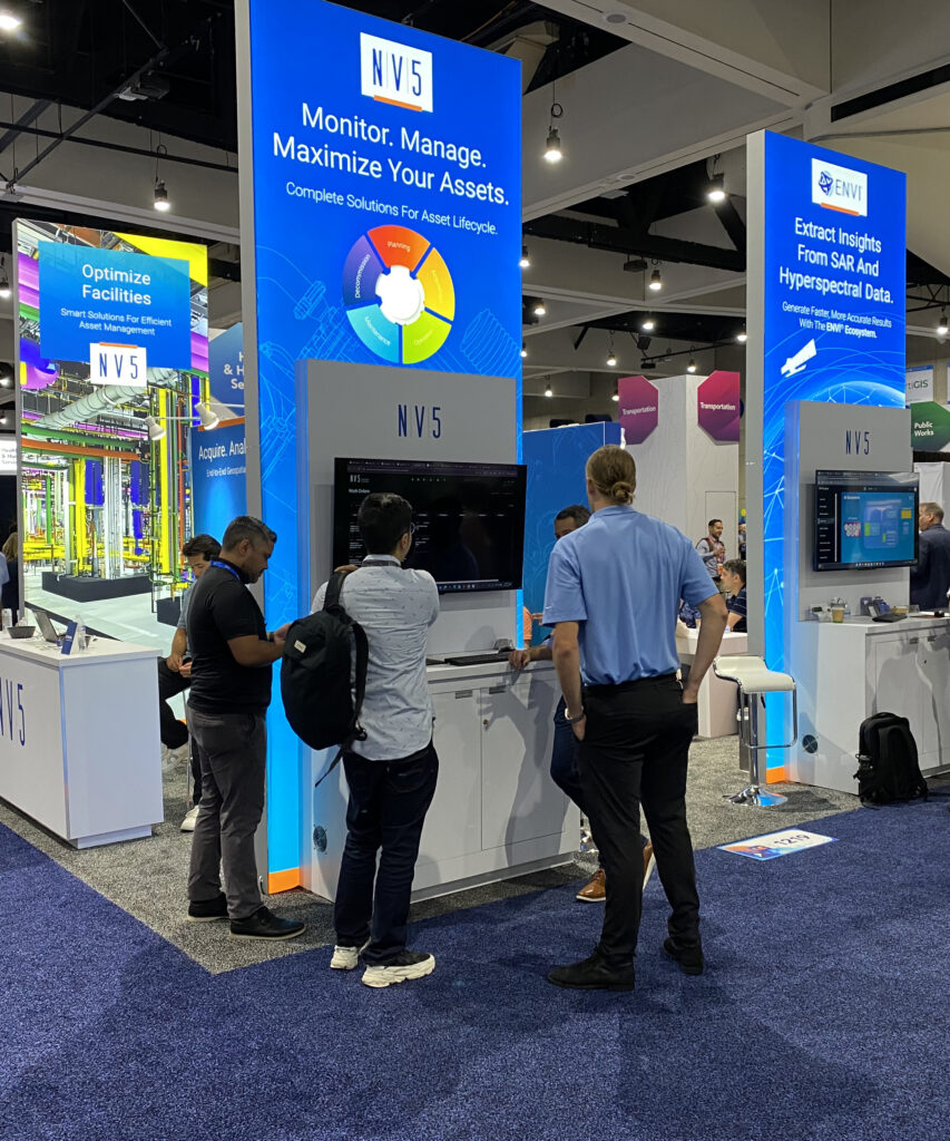
Every year, the Esri User Conference brings together thousands of geospatial professionals to explore new technologies, share ideas, and learn how organizations are solving complex challenges with GIS.
For many members of the NV5 team, attending Esri UC is an annual tradition. Some have attended for more than 15 years. Others will be experiencing the conference for the very first time. Together, their perspectives offer an interesting snapshot of where the geospatial industry has been and where it’s headed next.
From Mapping Technology to Enterprise Decision-Making
One theme emerged consistently across our team: geospatial technology has evolved far beyond maps.
That shift is reflected not only in who uses GIS, but in how it’s used. What was once considered a specialized technical discipline has become an essential platform for operational awareness, planning, asset management, infrastructure resiliency, and enterprise decision making.
As Cherie Tyrrell, Senior Manager of Account Management, notes, GIS, remote sensing, and analytics have become increasingly interconnected, helping organizations develop a richer operational picture and make decisions faster and with greater confidence.
AI Will Be Everywhere, But Practicality Matters
If there’s one topic expected to dominate conversations at this year’s conference, it’s AI. From GeoAI and agent-based systems to deep learning and workflow automation, AI continues to reshape how organizations work with geospatial data.
But the conversations have matured. Customers are no longer asking whether AI is important. They’re asking how to apply it effectively.
For NV5, the focus remains on practical implementation and helping organizations connect AI capabilities to real operational outcomes.
The Challenge Isn’t More Data, It’s Connecting What You Already Have
While AI may be generating the headlines, many organizations continue to face a more fundamental challenge: turning existing data into actionable intelligence. Across industries, teams are struggling with disconnected systems, siloed workflows, and fragmented information.
Whether the discussion is asset management, digital twins, engineering workflows, AI, or enterprise GIS, the goal remains the same: connecting people, data, and processes to support better decisions.
The Rise of 3D, Digital Twins, and Operational Outcomes
Several members of our team expect growing interest in 3D asset management, BIM integration, digital twins, and connected operational environments.
According to Congdon, organizations are increasingly moving beyond traditional 2D mapping and embracing 3D representations of assets and facilities. These approaches make inspections, maintenance, work orders, and operational planning more intuitive and effective.
At the same time, Steve Mulberry, Geospatial Innovations Strategist, believes the industry’s focus should remain on outcomes.
Why We Keep Coming Back
For all the excitement around emerging technology, the most common answer to one question was surprisingly simple: What are you most looking forward to at Esri UC? The answer wasn’t AI. It was people.
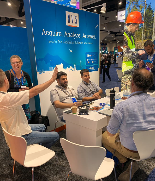
Reconnecting with customers. Meeting new partners. Learning from peers. Sharing ideas. Building relationships. For many on our team, that’s what makes Esri UC special.
Let’s Connect at Esri UC
Every year, the Esri User Conference brings together thousands of geospatial professionals to explore new technologies, share ideas, and learn how organizations are solving complex challenges with GIS.
For many members of the NV5 team, attending Esri UC is an annual tradition. Some have attended for more than 15 years. Others will be experiencing the conference for the very first time. Together, their perspectives offer an interesting snapshot of where the geospatial industry has been and where it’s headed next.