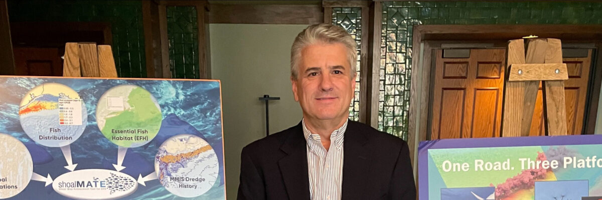
Geo Week is right around the corner, and our team is looking forward to participating and meeting up with our peers, partners, and clients. We will be at BOOTH #507 during the three day conference and are excited to share with attendees some of the innovative technology advancements and projects[...]
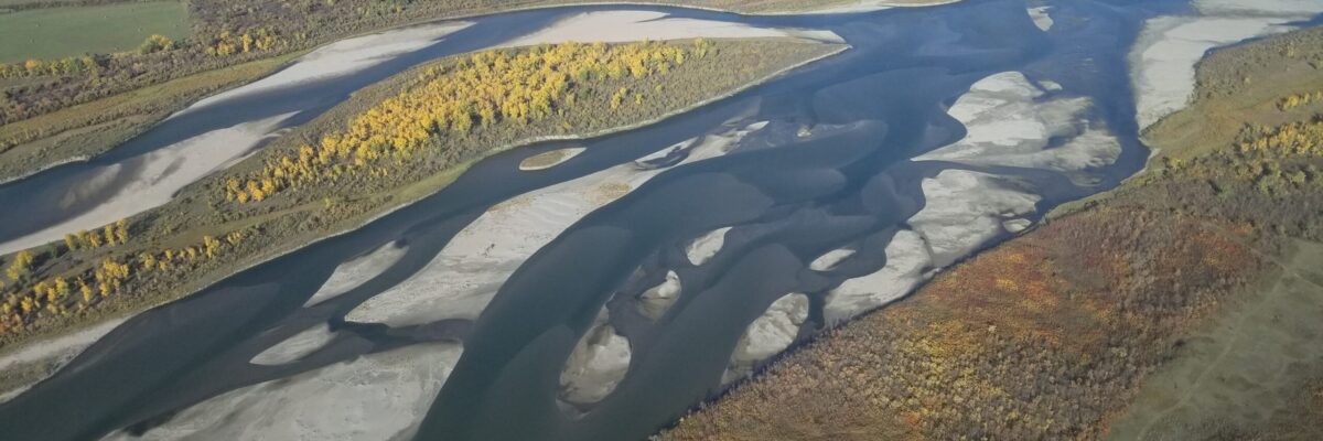
New Projects in British Columbia and Saskatchewan to Assist Agencies with Floodplain Mapping Analysis and Sustainable Water Management NV5 Geospatial, North America’s largest geospatial data firm, is building on it’s success in the Canadian market with the awards of hydrospatial projects in 2021 in British Columbia and Saskatchewan. “Topobathymetric lidar[...]
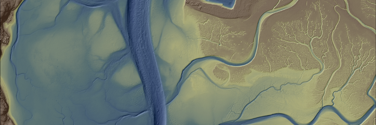
A NOAA-supported analysis of California’s Morro Bay estuary found links between seagrass collapse and later erosion that will inform bay-area adaptation strategies and could influence global seagrass conservation strategies. NV5 Geospatial provided a full update of elevation data for Morro Bay from an integration of topobathymetric lidar and sonar technologies.[...]
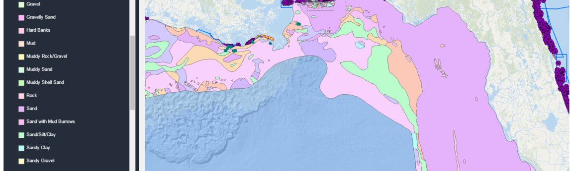
Alexa Ramirez, eGIS Project Manager for NV5 Geospatial, describes how custom eGIS applications are improving accessibility to geospatial data in an effort to improve coastal management outcomes and further scientific understanding. Access the article on page 18 of the latest issue of GPS World.
Michael B. Shillenn,CP, ASPRS senior account manager for NV5 Geospatial has been elected to serve on the board of MAPPS, the preeminent national association of private sector firms in the geospatial profession. His appointment to a two-year term was announced during the MAPPS Summer 2021 Conference, held in Asheville, N.C.[...]
The NV5 Geospatial Anchorage office focuses on conducting environmentally responsible and sustainable projects across Alaska that help us adapt to a changing landscape and climate Read the full article on Alaska Business HERE. “We can tell you where and by how much your pipeline infrastructure is shifting due to changes[...]
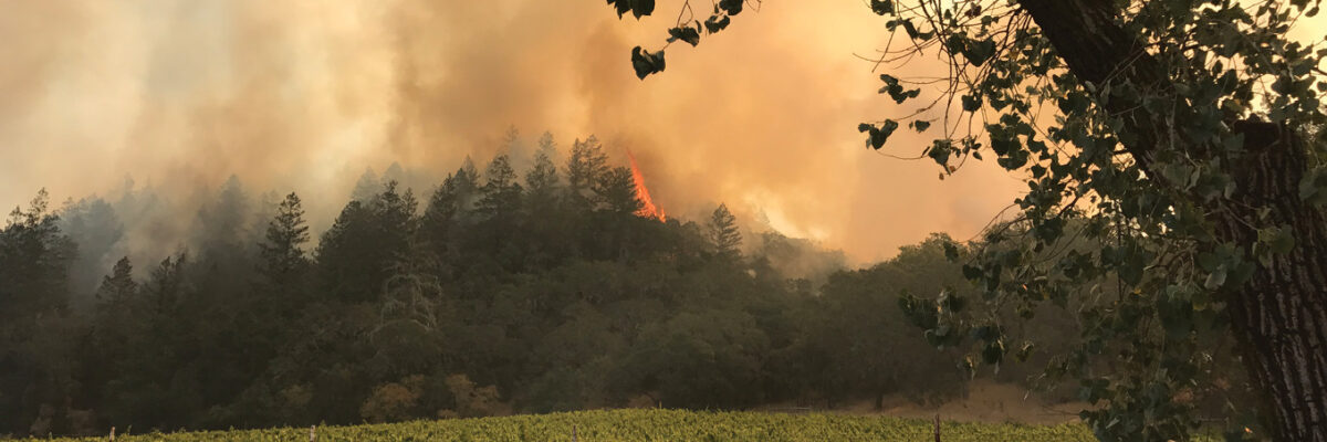
Wild fires once again threaten the west coast this season as they have each summer in recent memory. Kass Green, reporting in Lidar Magazine, details how San Francisco Bay Area land managers and stewards are turning to geospatial mapping and analysis to guide decision-making and mitigate risk. Read
https://www.youtube.com/watch?v=-uK4fObNyWs&authuser=0 In honor of Arbor Day, we’re sharing Dr. Andrew Brenner’s presentation on remote sensing data applications and analysis for forestry and tree sciences. For more information about what we do, visit our Forestry Page or Contact Us.
Keeping Compliant during a Pandemic COVID-19 and the new reality of stormwater permit compliance View digital article online here Click to download pdf version of Stormwater Magazine
Form #2 - Sends email containing the link to the PDF
"*" indicates required fields
eNewsletter - NV5 Real Estate Transaction Services
Contact NV5 Real Estate Transaction Services
Download NV5 2022 Compliance Calendar
Please fill out the form below. After successful form submission, you will be redirected to the requested file. Thank you.
"*" indicates required fields
Hyperspectral Imaging - Technically Speaking
Our internal innovation and development team constantly analyzes new technology and develops solutions to meet our client’s challenges. Our Technically Speaking series is one way we share our technical findings with the professional community.
Please tell us a little about yourself by filling out the form below, and we’ll share the document with you, thanks!
Accuracy Part 1- Technically Speaking
Our internal innovation and development team constantly analyzes new technology and develops solutions to meet our client’s challenges. Our Technically Speaking series is one way we share our technical findings with the professional community.
Please tell us a little about yourself by filling out the form below, and we’ll share the document with you, thanks!
Prune Optimization Webinar Recording
NV5 Geospatial releases a new predictive modeling platform for vegetation management that uses existing lidar and historical data to identify the relative level of asset risk from trees by quantifying the potential for causing asset damage.
Please tell us a little about yourself by filling out the form below, and we’ll share the document with you, thanks!
Topobathy Lidar - Technically Speaking
Our internal innovation and development team constantly analyzes new technology and develops solutions to meet our client’s challenges. Our Technically Speaking series is one way we share our technical findings with the professional community.
Please tell us a little about yourself by filling out the form below, and we’ll share the document with you, thanks!