In celebration of International Podcast Day, we’re sharing podcasts where NV5 Geospatial’s expertise shed light on various topics within the industry. From discussions like how lidar provides value to organizations, how the sensors now available are changing data collection, key trends in disaster response, and more. Check them out below!
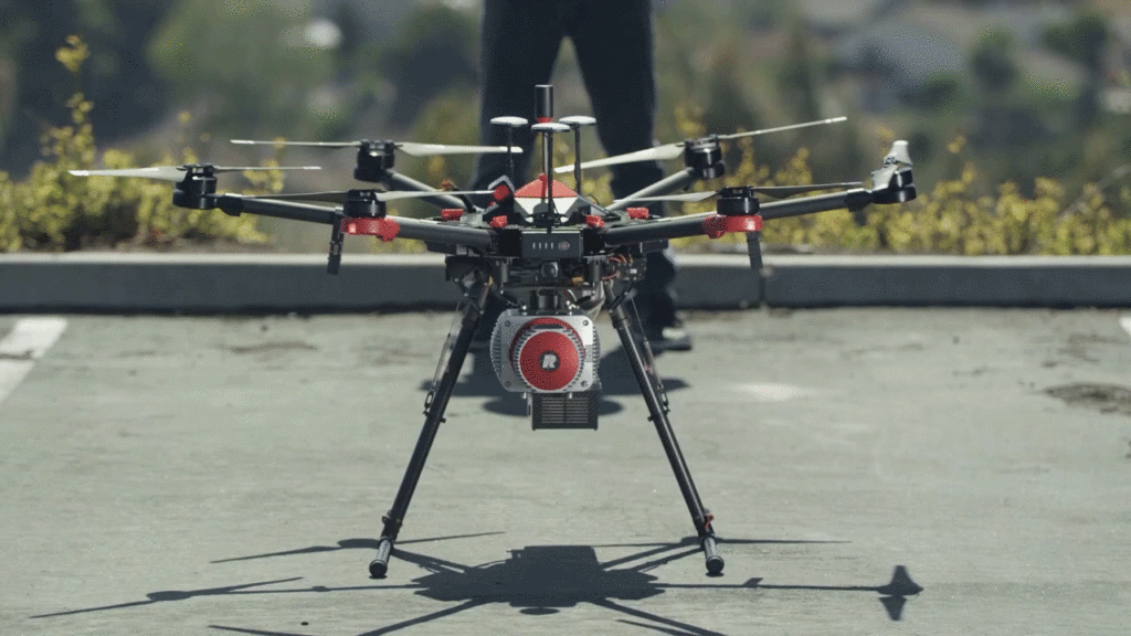
Lidar Mapping with UAV’s
The UAV Podcast discusses with NV5 Geospatial’s Lukas Fraser how drones and other autonomous vehicles are deployed with lidar sensors to create 3D mapping data and downstream analytics.
Lukas describes how UAV’s with the sensors now available are changing data collection and making applications possible that would have been difficult previously. He is a Lidar Specialist at NV5G and creates engineering-grade 3D mapping deliverables from UAV lidar and imagery, and specializes in topographic and topo-bathymetric lidar data collection, processing, analysis, and product development.
Lukas explains how lidar works and some of the key applications. He talks about the process to collect lidar and image data with UAV’s that meet accuracy standards, how that data is analyzed, and then how products are created that the client can use to get value from the project. Imagery from a UAV can result in RGB, thermal, multispectral, or hyperspectral products.
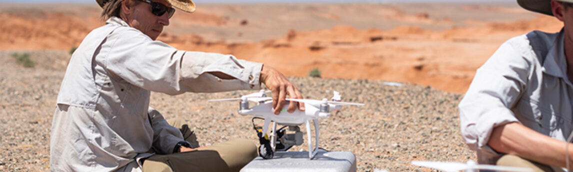
Everything You Need to Know About Lidar From Drones
Everything You Need to Know About Lidar From Drones
NV5 Geospatial’s Lukas Fraser talks about the rise of drone-based lidar on The MapScaping Podcast. He explains best use cases, how data accuracy is guaranteed when capturing drone-based lidar, why lidar and high-resolution imagery are complementary technologies and new market opportunities for topobathymetric lidar.
How Can Lidar Provide Value to Organizations?
On The Drone Radio Show, NV5 Geospatial’s Lukas Fraser dives into the process to collect lidar and image data with UAV’s, how that data is analyzed, and then how products are created that provide value to clients.
Changing Responses to Changing Disasters
Zpryme‘s Dylan Lockwood speaks with Ian Berdie, Vice President of Innovation and Development at NV5 Geospatial about disaster response. With climate change affecting the frequency, types, and severity of disasters, how are utilities and the analytics that power their operations adjusting their responses to keep outages and outage times to a minimum? Listen and find out!
Building Resilience in Essential Systems
On the RoboPsych Podcast, Dr. Scott Nowicki, Lead R&D Scientist for NV5 Geospatial, discusses intersection of robotics and remote sensing applications with hosts Carla and Tom. Scott is a remote sensing expert and has been involved in a variety of incredibly interesting and diverse projects, including the Mars Rover. Much of Scott’s work involves enabling utilities to be more resilient in a time of increasingly intense hurricanes, wildfires, and other environmental challenges.
Geospatial Data for Airports
Bob Vander Meer, Vice President of Business Development or NV5 Geospatial, discusses NV5G’s work with Airports on the Airplane Geeks Podcast. Bob has over 20 years of business development and management experience in the geospatial industry, and serves within NV5 Geospatial’s public market sector, leading the business development activities with state, municipal, and county government agencies. Bob has provided executive support to over 700 airport projects under FAA Advisory Circular 150/5300-16A, -17C, -18B guidelines. He has managed all internal project activities, including overseeing that the airport ground surveys and collection of aerial imagery are performed in accordance with the appropriate FAA specifications.
Dive into how geospatial data for airports are collected, analyzed, and used for applications like obstruction analysis, airport mapping, and even pavement management and crack assessment, as well as interior mapping. Bob explains the sensors we use and the aircrafts that carry them. Learn more about NV5 Geospatial’s Airport Solutions here.