
Geo Sessions Returns With a Focus on Turning Geospatial Data Into Action
The geospatial industry has never had more data at its fingertips. Lidar, SAR, spectral imagery, drones, satellites, and real-time sensors are capturing the physical world at unprecedented scale and detail.
But data is no longer the biggest challenge. “The real challenge is helping decision-makers understand what matters in their data and what action they should take,” said Dan Gruidel, Vice President, Strategy & Business Development at NV5. “Success is no longer measured by how much data you have. It’s measured by how quickly you transform that data into action.”
That shift, from data acquisition to operational intelligence, is at the center of Geo Sessions 2026, a virtual event that brings together geospatial experts, technology leaders, researchers, and end users to explore how remote sensing and analytics are being applied to real-world problems.
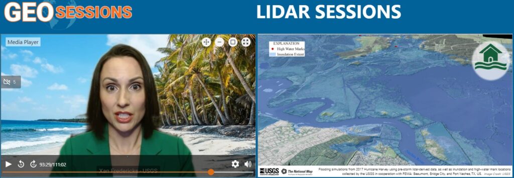
A Global Geospatial Event
Geo Sessions is attended by thousands of people across 100+ countries. This year’s event will feature four tracks devoted to SAR, spectral, lidar, and GeoAI. It includes more than 20 speakers representing technology providers, data providers, service organizations, academia, government organizations, and end users.
“Geo Sessions is designed to bring different perspectives together,” according to Ors Kovacs, Geo Sessions Committee Chair. “Technologies become valuable when they help solve a problem, so we gear the event toward practical, application-based content rather than overly technical presentations.”
A New GeoAI Track
For the first time, Geo Sessions will include a dedicated GeoAI program exploring one of the industry’s most pressing questions: how organizations can move AI from experimentation into operational use. The GeoAI panel will examine how organizations can operationalize the technology and extract measurable value from it, while additional presentations will explore developments such as agentic GeoAI.
The timing reflects a broader change taking place across geospatial organizations. Gruidel sees companies moving away from thinking about lidar, imagery, SAR, GIS, AI, and analytics as isolated technologies. “Users don’t think in terms of technologies. They think in terms of outcomes,” he said. “The value comes from connecting those capabilities into seamless workflows that move from collection, to analysis, to decision support, and ultimately to action.”
The same challenge appears across industries. Transportation agencies want safer infrastructure. Utilities need better visibility into increasingly complex networks. Environmental organizations need to understand change. Emergency managers and defense organizations need trusted information quickly. In each case, the fundamental questions are remarkably similar: What is happening? Where is it happening? Why is it happening? And what should we do next?
Built Around Real-World Applications
That emphasis on outcomes has been part of Geo Sessions from the beginning. Rather than using the event as a product showcase, the organizing team selects topics based on emerging trends, real customer requirements, and challenges being encountered across the geospatial community.
Planning begins roughly ten months before the event. NV5 leaders and colleagues work closely with end users to identify potential themes, then narrow them to the issues considered most relevant. Speakers are deliberately selected from different industries to bring a range of viewpoints to the discussion. The format combines presentations with panel discussions and audience Q&A. Three follow-on focus webinars allow participants to explore selected topics in greater depth.
Geo Sessions is intended to be accessible to a wide audience. Experienced practitioners can dig into new techniques and applications, while those newer to SAR, spectral imaging, lidar, or GeoAI can gain a broader understanding of how the technologies are being used.
That emphasis on practical, real-world applications is one of the reasons attendees return year after year. Monica Montoya, Senior GIS Tech at Forsyth County, described the event this way after attending in 2025: “It was a great opportunity to see how other people are solving real-world problems.”
Getting Outside the Geospatial Echo Chamber
For Gruidel, one of the less obvious benefits of Geo Sessions is exposure to perspectives outside an attendee’s usual professional circle. The industry is moving quickly, particularly around AI, automation, data integration, and new approaches to remote sensing. Hearing how experts from different organizations and disciplines are addressing similar challenges can change how people think about their own work.
Register for Geo Sessions 2026 (www.nv5geospatialsoftware.com/Geo-Sessions) and explore how geospatial data and analytics are moving from insight to real-world action.