The New Year is right around the corner, which means the Quantum Spatial 2020 calendar is here! We have a downloadable desktop calendar that captures an incredible view of Alaska’s iconic Copper River. There are two different image sizes to accommodate variation in screen dimensions. Click on the image to[...]
By: Vikki Keafer, Cary Office The NV5/CALYX offices in Cary, Charlotte, and Roswell held their annual 5k walk/run on October 10. Participants from each office laced up their shoes and set out on a perfect sunny afternoon to get some exercise and support Charlie’s Heart Foundation. This is the third[...]
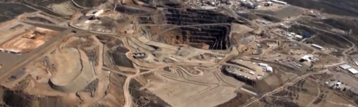
The remote sensing acquisition team of Quantum Spatial, in partnership with EDCON-PRJ, and working on behalf of the USGS, was recently featured in NBC News Channel 3 Las Vegas for a survey project to detect the presence of precious minerals within the Mojave Desert. Click the image below to view[...]
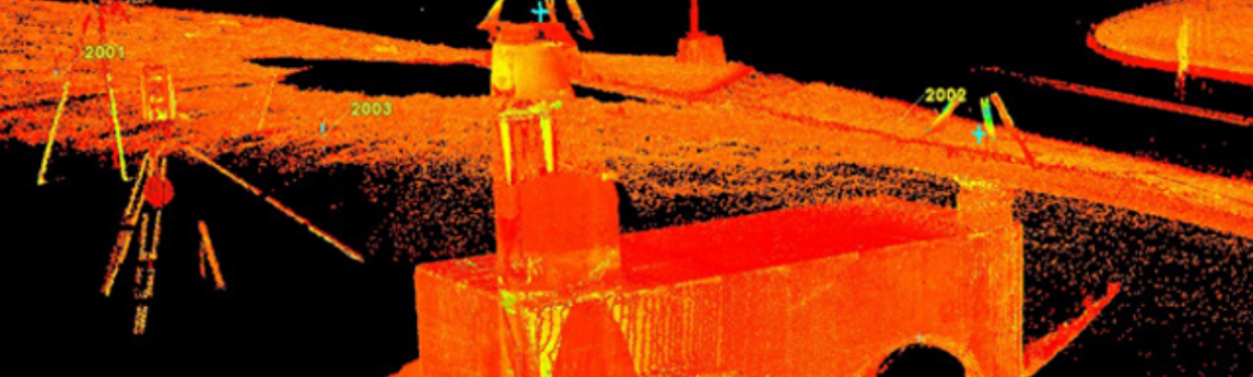
Kudos to Chris Drye of the Charlotte office on his recently published article about how his team chose the best imaging laser scanner for their transportation-related surveying needs. This new technology enabled the team to offer a new service — Subsurface Gravity Utility Investigation — to their clients. The article[...]
The advances in drone technology are affecting countless industries in a variety of ways and land surveying is not exempt. From package delivery to surveillance and data gathering, drone surveying is fast becoming a tool that surveyors too are incorporating into their work. Drone precision and technology is advancing so[...]
Congratulations to Bridgette Reddington who’s article on PFAS sampling was published in the December issue of Stormwater Magazine! Bridgette also presented a poster at the October Annual CASQA (California Stormwater Quality Association) annual conference on the same topic. You can find her publication both on line and in print at[...]
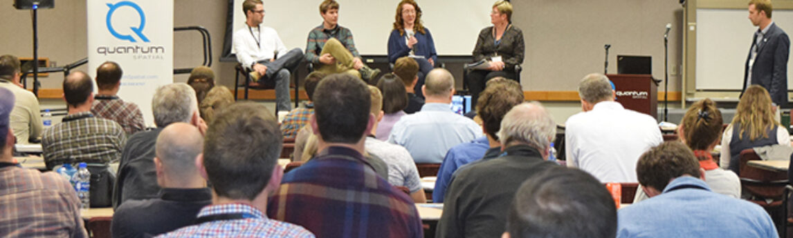
Quantum Spatial River Analytics Symposium -Russ Faux, Sr VP Quantum Spatial successfully hosted its first River Analytics Symposium at our Corvallis, Oregon office on October 29th. The Symposium explored a range of salient topics ranging from river restoration, quantified conservation, habitat analysis, and the application of advanced remote sensing technologies[...]
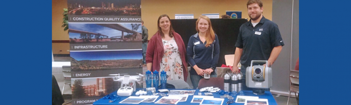
Kudos to the NV5/WHPacific team in Boise, who exhibited at the Boise State University (BSU) Fall Career Fair last month, seeking prospective interns and new recruits. Well over 100 students and staff members visited the booth, where the most commonly asked questions were about internship opportunities and NV5 services and[...]
Quantum Spatial, Inc., North America’s largest independent geospatial analytics firm, will deliver two presentations focusing on how utility companies use remote sensing and lidar during CEATI’s 2019 Vegetation Management Conference, December 3-4 in San Antonio, Texas. During the conference, Quantum Spatial will discuss its contributions to projects for several utility[...]
Sara Rhodes (photo: left) and Shannon Hunter (right) from the Sacramento office attended the International Code Council (ICC) Annual Conference in Las Vegas in October. ICC is a member-focused association dedicated to creating, maintaining, and updating model codes and standards used in design, build, and compliance processes. Without these codes[...]
Form #2 - Sends email containing the link to the PDF
"*" indicates required fields
eNewsletter - NV5 Real Estate Transaction Services
Contact NV5 Real Estate Transaction Services
Download NV5 2022 Compliance Calendar
Please fill out the form below. After successful form submission, you will be redirected to the requested file. Thank you.
"*" indicates required fields
Hyperspectral Imaging - Technically Speaking
Our internal innovation and development team constantly analyzes new technology and develops solutions to meet our client’s challenges. Our Technically Speaking series is one way we share our technical findings with the professional community.
Please tell us a little about yourself by filling out the form below, and we’ll share the document with you, thanks!
Accuracy Part 1- Technically Speaking
Our internal innovation and development team constantly analyzes new technology and develops solutions to meet our client’s challenges. Our Technically Speaking series is one way we share our technical findings with the professional community.
Please tell us a little about yourself by filling out the form below, and we’ll share the document with you, thanks!
Prune Optimization Webinar Recording
NV5 Geospatial releases a new predictive modeling platform for vegetation management that uses existing lidar and historical data to identify the relative level of asset risk from trees by quantifying the potential for causing asset damage.
Please tell us a little about yourself by filling out the form below, and we’ll share the document with you, thanks!
Topobathy Lidar - Technically Speaking
Our internal innovation and development team constantly analyzes new technology and develops solutions to meet our client’s challenges. Our Technically Speaking series is one way we share our technical findings with the professional community.
Please tell us a little about yourself by filling out the form below, and we’ll share the document with you, thanks!