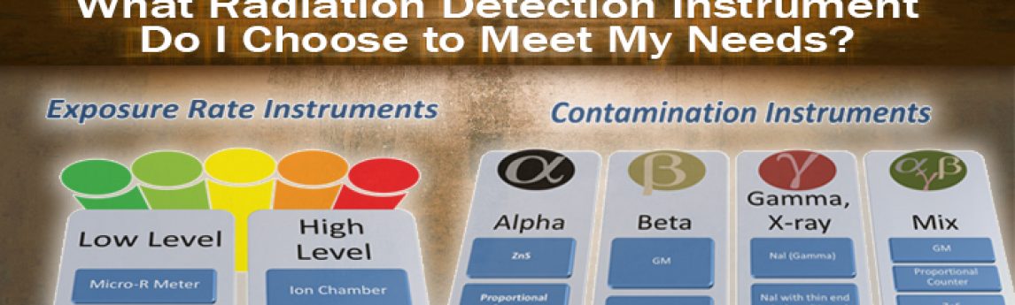
By: Judson Kenoyer, CHP, CIH It is not a simple question or process to go through to determine the type of radiation detection instrument you should choose to meet your specific needs. But, if you follow a simple, step-by-step process as described below, you can come up with the answer.[...]
HOLLYWOOD, Fla., Nov. 26, 2018 (GLOBE NEWSWIRE) — NV5 Global, Inc. (Nasdaq: NVEE) (“NV5” or the “Company”), a professional engineering and consulting solutions provider, announced today that it has been awarded a contract amendment with a Southern Californiautility for $6 million. The new contract brings NV5’s total awarded fire hardening[...]
Jim DePasquale, of the Nature Conservancy, shares his experiences of using LiDAR mapping technology in Alaska through the use of USGS’ 3D Elevation Program in Directions Magazine. Excerpt below, read the full article HERE. After winning a 3DEP award in 2017, The Nature Conservancy, the USFS and regional Alaska Native[...]
HOLLYWOOD, Fla., Nov. 19, 2018 (GLOBE NEWSWIRE) — NV5 Global, Inc. (Nasdaq: NVEE) (“NV5” or the “Company”), a professional engineering and consulting solutions provider, announced today that it has been awarded a contract with the North Carolina Department of Transportation (NCDOT) to perform conventional route surveys, global positioning surveys (GPS),[...]
Once again, Ms. Caroline Coholan’s 3rd grade class from Llewellyn Elementary School visited Quantum Spatial’s Portland office to celebrate National GIS day. Following an engaging presentation on the basic concepts of remote sensing by Annie Trambley and Zach Powers, Baqar Rizvi provided a live demonstration of our remote sensing robot,[...]
As the pace of innovation continues at a breakneck pace throughout the remote sensing industry, new applications for spatial data are emerging. Quantum Spatial’s Anand Iyer describes how the influences of technology and data analytics are reminiscent of the same evolution of the internet of things. Read the full article[...]
In the latest issue of GIM International, Quantum Spatial’s Cherie Jarvis discusses the process of utilizing eGIS mapping applications in order to improve outcomes of topo-bathymetric Lidar surveys. The web-based map interface gives users the ability to both analyze and visualize large volumes of data. Read the full article HERE.
HOLLYWOOD, Fla., Nov. 07, 2018 (GLOBE NEWSWIRE) — NV5 Global, Inc. (Nasdaq: NVEE) (“NV5” or the “Company”), a provider of professional and technical engineering and consulting solutions, today reported financial results for the third quarter ended September 29, 2018. Third Quarter 2018 Financial Highlights Total Revenues for the quarter were[...]
When considering an energy audit for your commercial property, it’s important to understand that energy optimization is not limited to new construction. By implementing an energy audit, a property owner can reduce operating costs through all stages of a building’s lifecycle. Whether transforming an existing structure into something new or[...]
HOLLYWOOD, Fla., Nov. 05, 2018 (GLOBE NEWSWIRE) — NV5 Global, Inc. (Nasdaq: NVEE) (“NV5” or the “Company”), a professional engineering and consulting solutions provider, today announced the acquisition of CHI Engineering Services, Inc. (CHI). CHI is an infrastructure engineering firm with $55 million in revenue headquartered in Portsmouth, New Hampshire.[...]
Form #2 - Sends email containing the link to the PDF
"*" indicates required fields
eNewsletter - NV5 Real Estate Transaction Services
Contact NV5 Real Estate Transaction Services
Download NV5 2022 Compliance Calendar
Please fill out the form below. After successful form submission, you will be redirected to the requested file. Thank you.
"*" indicates required fields
Hyperspectral Imaging - Technically Speaking
Our internal innovation and development team constantly analyzes new technology and develops solutions to meet our client’s challenges. Our Technically Speaking series is one way we share our technical findings with the professional community.
Please tell us a little about yourself by filling out the form below, and we’ll share the document with you, thanks!
Accuracy Part 1- Technically Speaking
Our internal innovation and development team constantly analyzes new technology and develops solutions to meet our client’s challenges. Our Technically Speaking series is one way we share our technical findings with the professional community.
Please tell us a little about yourself by filling out the form below, and we’ll share the document with you, thanks!
Prune Optimization Webinar Recording
NV5 Geospatial releases a new predictive modeling platform for vegetation management that uses existing lidar and historical data to identify the relative level of asset risk from trees by quantifying the potential for causing asset damage.
Please tell us a little about yourself by filling out the form below, and we’ll share the document with you, thanks!
Topobathy Lidar - Technically Speaking
Our internal innovation and development team constantly analyzes new technology and develops solutions to meet our client’s challenges. Our Technically Speaking series is one way we share our technical findings with the professional community.
Please tell us a little about yourself by filling out the form below, and we’ll share the document with you, thanks!