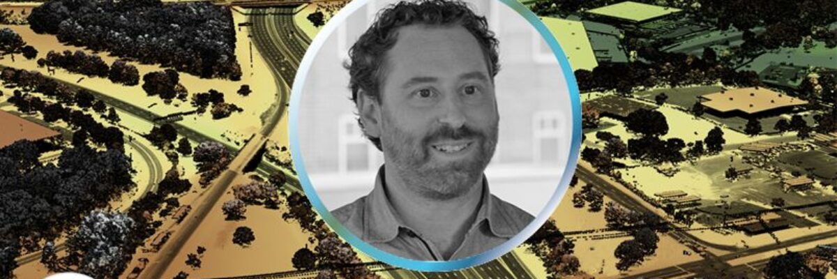
NV5 earned the Excellence Award in Surveying/Field Data Collection, announced at the 2023 MAPPS Winter Conference Overview- One of only six hypersaline lagoons in the world, the Laguna Madre is one of the most biologically diverse and undeveloped coastal ecosystems in North America. Covering an area over 1000 km2 along[...]
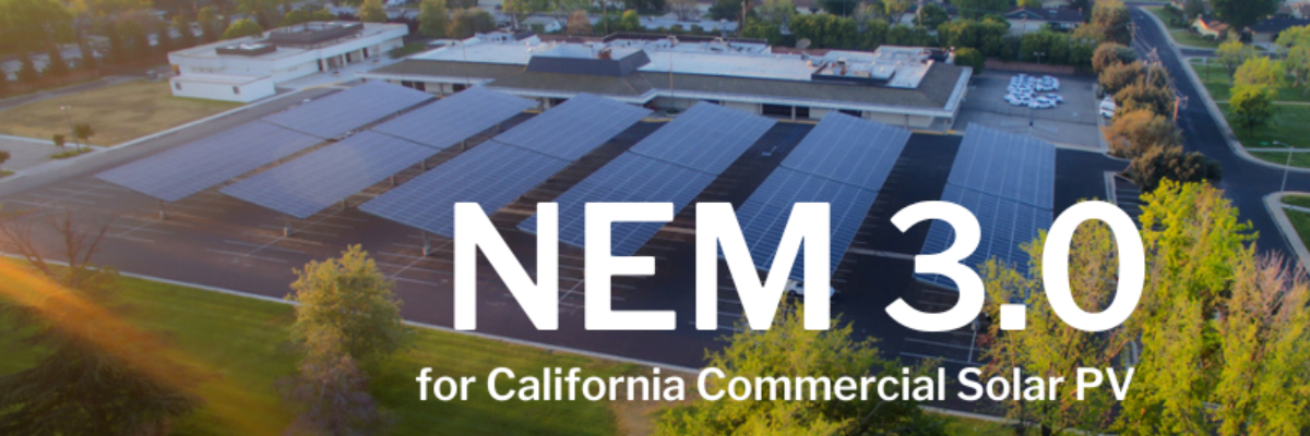
Net Energy Metering (NEM) 3.0 is almost here–and if you’re planning a commercial solar PV project in California, you need to act now to preserve your project’s value. NEM has traditionally offered the state’s solar PV customers retail energy cost credits when they export excess energy to the grid. With[...]
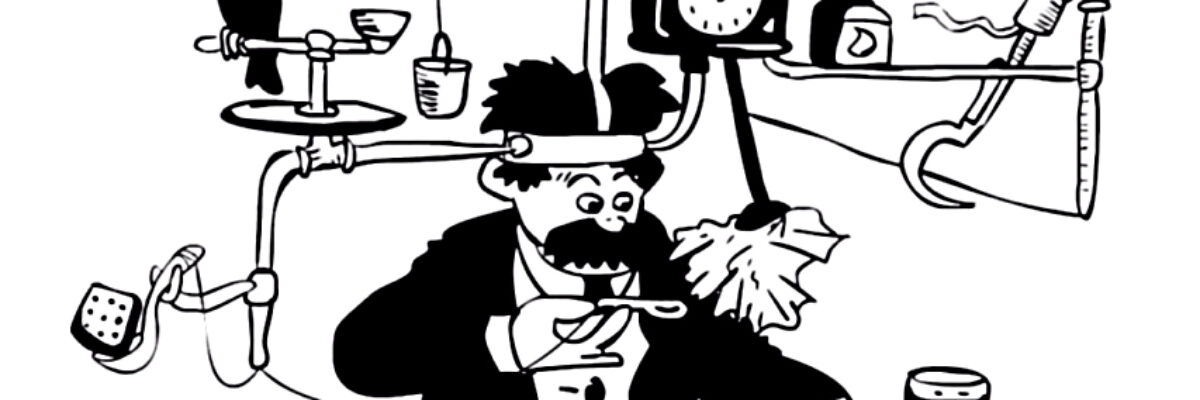
-by Steve Cooper, LC, CLCP and Norm Russell, LC “I’m being quite useful. This thing is a Thneed. A Thneed’s a Fine-Something-That-All-People-Need! It’s a shirt. It’s a sock. It’s a glove. It’s a hat. But it has other uses. Yes, far beyond that. You can use it for carpets. For[...]
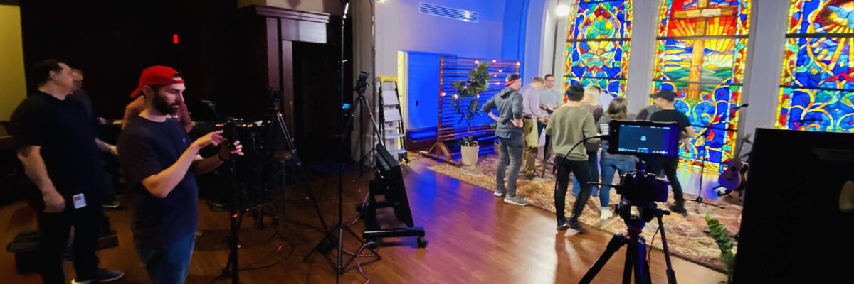
– by Ron Cochran 2020 changed the way people communicate and congregate. We all had to get used to seeing family, friends, and coworkers from afar via a variety of video/streaming apps. Businesses and schools were forced to make drastic changes to approximate business as usual. However, prior to 2020,[...]
-by Julie Fischer INCE, LEED AP BD+C “Unnecessary noise, then, is the most cruel absence of care which can be inflicted either on the sick or the well” — Florence Nightingale, Notes on Nursing, 1859 Anyone that has stayed in a hospital knows that the above statement is completely accurate.[...]
NV5 Awarded $9 Million NOAA Contract to Support Shoreline Mapping in Maine November 22, 2022 HOLLYWOOD, Fla., Nov. 22, 2022 (GLOBE NEWSWIRE) — NV5 Global, Inc. (the “Company” or “NV5”) (Nasdaq: NVEE), a provider of technology, conformity assessment, and consulting solutions, announced today that it has been awarded a $9[...]
NV5 Geospatial’s Ian Berdie was recently a guest on the Data Management Podcast to discuss the practicality and use of geospatial engineering and lidar. To listen to the podcast and hear what the other guests had to contribute, click the link below! View Webinar
Webinar Information: Our Understanding WA HB1257 – The Clean Buildings Standard And What It Means For You webinar took place on Thursday, January 13, 2022. View the Recording About HB 1257: Here’s What You Need to Know Starting in 2026, most existing commercial buildings (including schools and dormitories) in Washington[...]
We extend our heartfelt congratulations to our very own Tim Saultz, who was awarded The Distinguished Service Award, the highest honorary recognition an employee can receive within the Department of the Interior. Tim dedicated more than 25 years to the U.S. Geological Survey (USGS) and was essential in developing consistent[...]
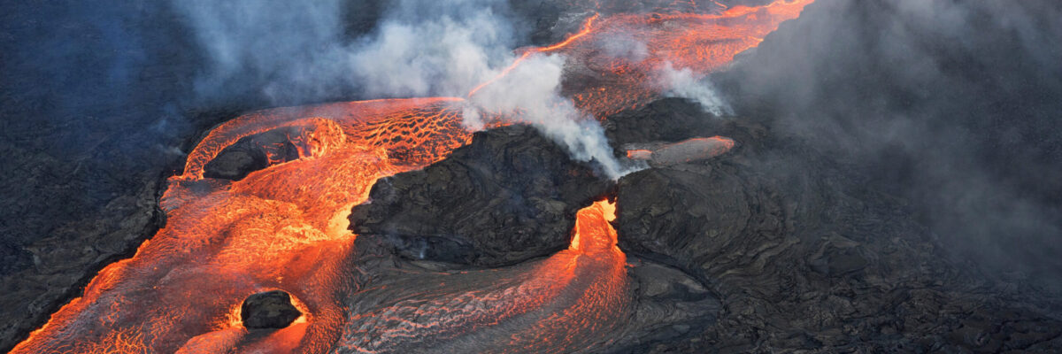
Written by Joel Burroughs, NV5 Geospatial Account Manager When volcanoes erupt, the force of explosions and lava dramatically change the landscape, impacting the geography and the lives of those who live and work nearby. This is especially true on the southern tip of Hawaii, which is home to the world’s[...]
Form #2 - Sends email containing the link to the PDF
"*" indicates required fields
eNewsletter - NV5 Real Estate Transaction Services
Contact NV5 Real Estate Transaction Services
Download NV5 2022 Compliance Calendar
Please fill out the form below. After successful form submission, you will be redirected to the requested file. Thank you.
"*" indicates required fields
Hyperspectral Imaging - Technically Speaking
Our internal innovation and development team constantly analyzes new technology and develops solutions to meet our client’s challenges. Our Technically Speaking series is one way we share our technical findings with the professional community.
Please tell us a little about yourself by filling out the form below, and we’ll share the document with you, thanks!
Accuracy Part 1- Technically Speaking
Our internal innovation and development team constantly analyzes new technology and develops solutions to meet our client’s challenges. Our Technically Speaking series is one way we share our technical findings with the professional community.
Please tell us a little about yourself by filling out the form below, and we’ll share the document with you, thanks!
Prune Optimization Webinar Recording
NV5 Geospatial releases a new predictive modeling platform for vegetation management that uses existing lidar and historical data to identify the relative level of asset risk from trees by quantifying the potential for causing asset damage.
Please tell us a little about yourself by filling out the form below, and we’ll share the document with you, thanks!
Topobathy Lidar - Technically Speaking
Our internal innovation and development team constantly analyzes new technology and develops solutions to meet our client’s challenges. Our Technically Speaking series is one way we share our technical findings with the professional community.
Please tell us a little about yourself by filling out the form below, and we’ll share the document with you, thanks!