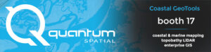
We’re at Coastal GeoTools 2017!
Quantum Spatial, Inc. the nation’s largest independent geospatial data firm, will showcase its industry-leading use of topographic-bathymetric (topo-bathy) LiDAR and advanced analytics to support natural
Quantum Spatial, Inc. the nation’s largest independent geospatial data firm, will showcase its industry-leading use of topographic-bathymetric (topo-bathy) LiDAR and advanced analytics to support natural
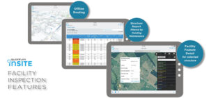
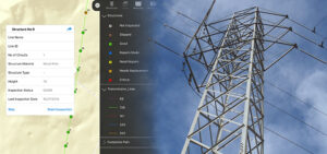
What if you could answer questions and tackle changes in your distribution system before they become problems? Distribution Network Intelligence builds foundationally on geospatial analytics
Quantum Spatial’s Scott Nowicki was recently published in Directions Magazine discussing the current and future state of drones. The article explores optimal uses for drone
NORCROSS, GA – November 28, 2016 – Quantum Spatial, Inc., the nation’s largest independent geospatial data firm, today announced that its principal R&D scientist Scott
I’m excited to attend the upcoming CEATI transmission conference, and I look forward to working toward helping asset management programs improve safety, reliability, and efficiency.

Quantum Spatial, Inc., the nation’s largest independent geospatial data firm will have a booth at next week’s Utility Analytics Conference in Atlanta, GA. Be sure
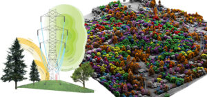
Quantum Spatial has developed a robust solution to assess suitability for siting transmission lines. We combine first-rate mapping intelligence with custom analytics and community engagement
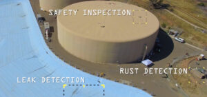
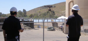
Quantum Spatial scientists have created a drone-mounted, custom sensor package that has the ability to detect underground leaks as well as other safety concerns such
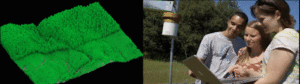
Professional scientists and students at Sonoma State University are implementing LiDAR data and other geospatial analytics to aid research and education in their environmental program.
Well, if you can’t make it to the beach, bring the beach to the office. Quantum Spatial’s Willy Sercombe and Harry Zhang did just that.