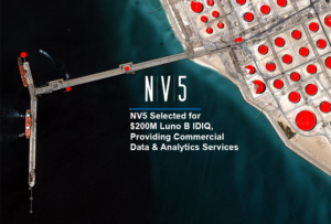
NV5 Selected for $200M Luno B IDIQ
Hollywood, Florida – NV5 (NYSE: NVEE) was selected by the National Geospatial-Intelligence Agency as one of the vendors for the $200 million Luno B commercial

Hollywood, Florida – NV5 (NYSE: NVEE) was selected by the National Geospatial-Intelligence Agency as one of the vendors for the $200 million Luno B commercial
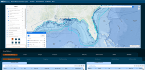
Leading Geospatial Firm to Present Innovations in SAR Analytics, AI-Powered Large Language Models and Coastal Surveying Solutions that Leverage Topobathymetry to Connect Land and Sea
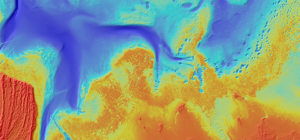
New Hydrographic Survey in Lake Michigan Among Projects Using Cutting-edge Survey Technologies and Creative Approaches to Yield Actionable Data that Supports Maritime Mapping, Resource Management
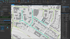
HOLLYWOOD, Fla. — NV5, a global leader providing geospatial solutions, services, and software to solve mission critical challenges, today announced it has earned requalification in
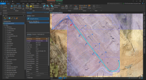
As the largest public water and wastewater utility in the Carolinas, Charlotte Water (CLTWater) serves over a million customers in the City of Charlotte and
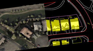
Ron Chapple, is the VP of Global Strategic Solutions Digital Twins, discusses NV5’s work with digital twins on the The Geotechnical Engineering Podcast. It’s
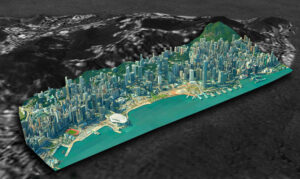
Ron Chapple, is the VP of Global Strategic Solutions Digital Twins, discusses NV5’s work with digital twins on the Airplane Geeks Podcast. The digital
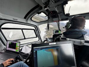
Collecting geospatial data in Alaska is not for the faint of heart. The rugged terrain makes it dangerous and expensive to send people out in
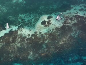
In a previous post, we introduced the Caribbean Community Climate Change Centre’s (CCCCC) initiative with NV5 to combat climate change through aerial lidar and orthoimagery
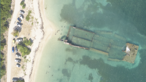
The Caribbean is a region known for its vibrant culture and breathtaking landscapes. However, it is also particularly vulnerable to the impacts of climate change.