
Our 2018 Calendar is available for download!
The New Year is right around the corner, which means the Quantum Spatial 2018 calendar is here! We have a downloadable desktop calendar that captures an

The New Year is right around the corner, which means the Quantum Spatial 2018 calendar is here! We have a downloadable desktop calendar that captures an

For the third consecutive year, Quantum Spatial has hosted Ms. Caroline Coholan’s 3rd grade class, from Llewellyn Elementary School at the Portland office to celebrate
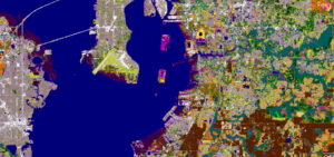
Cherie Jarvis, eGIS Practice Lead at Quantum Spatial It’s hard to remember a time when we didn’t have abundant free mapping applications. These days we

Tammy Baldwin speaks about the positive impact of the Digital Coast program via video conference at the 2nd annual Acquisition Summit hosted by Quantum Spatial. The

Quantum Spatial’s second annual acquisition is underway this week. The event brings together remote sensing and geospatial industry leaders to share new innovations, showcase emmerging
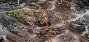
Quantum Spatial continues to develop invaluable solutions to improve safety and reliability within the pipeline industry. The August edition of Pipeline & Gas Journal highlights
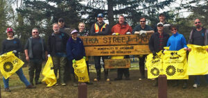
Quantum Spatial was out in force, participating in Anchorage Waterways Council’s Creek Cleanup. The volunteer crew got their feet wet, literally, as they removed trash from
We had a busy year in 2016, collecting, processing, and analyzing a wide variety of data across all 50 states and applied to a diverse

Written by Steve Raber, Quantum Spatial Senior Program Manager April 20th marks the day when, seven years ago, BP’s offshore drilling rig Deepwater Horizon suffered
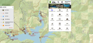
Quantum Spatial, Inc., the nation’s largest independent geospatial data firm, has worked with the U.S. Forest Service to continually improve its Interactive Visitor Map over the past