
Three Predictions for the Geospatial Industry by 2025
Anand Iyer, Quantum Spatial Sr. Vice-President of Products & Innovation, describes three developments poised to fundamentally change the geospatial sector and the way we use

Anand Iyer, Quantum Spatial Sr. Vice-President of Products & Innovation, describes three developments poised to fundamentally change the geospatial sector and the way we use
Meade Joins Leaders Across the Industry to Advance Geospatial Data Sharing ST. PETERSBURG, Fla., April 23, 2020 /PRNewswire-PRWeb/ — Quantum Spatial, Inc., an NV5 company and the nation’s largest
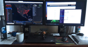
Leading from a distance: Jeffery Skahill, Software Development Manager at Quantum Spatial, shares his tips for leading teams working remotely amid the pandemic challenges with
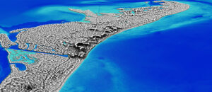
NV5 announces contract with NOAA’s National Geodetic Survey division. Read full release HERE.

To our Quantum Spatial Clients & Partners, As we together face the challenge of the COVID-19 global pandemic, I wanted to reach out to update

Hollywood, FL – January 20, 2020 – NV5 Global, Inc. (the “Company” or “NV5”) (Nasdaq: NVEE), a provider of professional and technical engineering and consulting solutions,

The New Year is right around the corner, which means the Quantum Spatial 2020 calendar is here! We have a downloadable desktop calendar that captures an
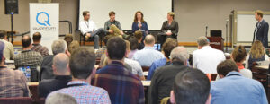
Quantum Spatial River Analytics Symposium -Russ Faux, Sr VP Quantum Spatial successfully hosted its first River Analytics Symposium at our Corvallis, Oregon office on October
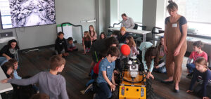
To celebrate National GIS Day 2019, Quantum Spatial’s Portland office hosted a field trip from Ms. Caroline Coholan’s 3rd grade class from Llewellyn Elementary School. The class
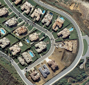
Quantum Spatial, the nation’s largest independent geospatial data firm, today announced that it will be presenting at WaterSmart Innovations Conference and Exposition on Thursday, October 3, 2019 at