Why You Should Own Your Geospatial Data
In the digital era of transportation infrastructure, data is as foundational as concrete and steel. Yet, a critical issue often lurks in the fine print:

In the digital era of transportation infrastructure, data is as foundational as concrete and steel. Yet, a critical issue often lurks in the fine print:

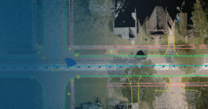
In order to pull off transportation projects that improve safety and efficiency for travelers, the planning phase is critical. There are massive amounts of data

Tualatin Valley Water District (TVWD) is taking a data-driven approach to capital planning, using ArcGIS Utility Network and custom tracing tools developed with NV5 to

In today’s data-driven world, organizations managing public infrastructure, utilities, and facilities face the common issue of disconnected systems. For years, asset management meant switching between

NV5, a leading provider of geospatial, professional and technical engineering and consulting solutions, is proud to announce the expansion of its environmental and geospatial capabilities

In the Defense and Intelligence community, the word “stovepipes” has long described one of the greatest barriers to speed and clarity. Each intelligence discipline (e.g.,

Organizations everywhere are working toward AI-driven operations, but legacy and on-prem systems often stand in the way. Trimble Unity changes that. It’s not just another

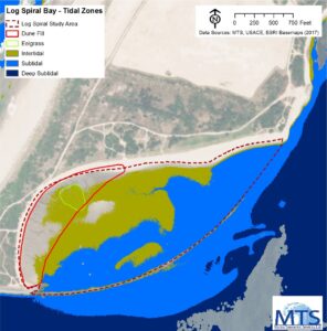
Through its subsidiary, Marine Taxonomic Services, Ltd. (MTS), an environmental consulting firm specializing in marine and aquatic sciences, NV5 has extended its hydrospatial services to

Frankfurt, Germany — NV5, a division of Acuren Corporation (the “Company” or “Acuren”, NYSE: TIC), a provider of tech-enabled engineering, certification, consulting, and geospatial solutions,

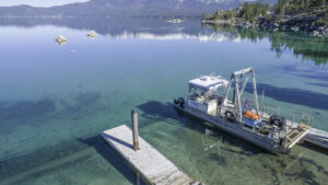
With over 5,300 miles of U.S. coastline, the Great Lakes are a cornerstone of North American commerce, ecology, and recreation. For nearly a decade, the
Fill out the form below to download the handbook.
"*" indicates required fields
Please fill out the form below. After successful form submission, you will be redirected to the requested file. Thank you.
"*" indicates required fields
Our internal innovation and development team constantly analyzes new technology and develops solutions to meet our client’s challenges. Our Technically Speaking series is one way we share our technical findings with the professional community.
Please tell us a little about yourself by filling out the form below, and we’ll share the document with you, thanks!
Our internal innovation and development team constantly analyzes new technology and develops solutions to meet our client’s challenges. Our Technically Speaking series is one way we share our technical findings with the professional community.
Please tell us a little about yourself by filling out the form below, and we’ll share the document with you, thanks!
NV5 Geospatial releases a new predictive modeling platform for vegetation management that uses existing lidar and historical data to identify the relative level of asset risk from trees by quantifying the potential for causing asset damage.
Please tell us a little about yourself by filling out the form below, and we’ll share the document with you, thanks!
Our internal innovation and development team constantly analyzes new technology and develops solutions to meet our client’s challenges. Our Technically Speaking series is one way we share our technical findings with the professional community.
Please tell us a little about yourself by filling out the form below, and we’ll share the document with you, thanks!