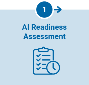
This phase assesses existing data, systems, tools, and business processes while identifying GeoAI opportunities aligned with organizational objectives. It also evaluates feasibility, risk, and impact, and includes an AI readiness report and prioritized roadmap for AI adoption.
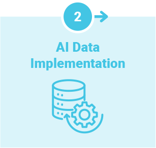
Once opportunities have been identified, this phase helps organizations prepare and optimize their data for AI-enabled workflows. This includes harmonizing raster, vector, tabular, and 3D data; standardizing metadata; evaluating data quality; and establishing governance practices.
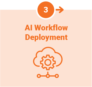
With a strong data foundation in place, this phase works to deploy AI-driven workflows aligned with business needs. This includes integrating data sources and enterprise systems, implementing analytical processes, and incorporating validation and governance controls.
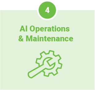
This phase focuses on sustaining and scaling AI capabilities across the organization. It also includes monitoring performance, managing workflows, ensuring compliance, optimizing operations, and supporting user adoption to maximize long-term value.
MUSEUM GARAGE
MIAMI DESIGN DISTRICT
International Parking & Mobility Institute
IMPI’s 2019 Award of Excellence

BALENCIAGA
MIAMI DESIGN DISTRICT
Glass Magazine 2018 Award Winner for Most Innovative Curtain Wall Project


DIOR
MIAMI DESIGN DISTRICT
Precast/Prestressed Concrete Institute
2016 Design Awards: Best International Building


BOTTEGA VENETA
MIAMI DESIGN DISTRICT
Architectural Products
2020 Product Innovation Award Special Citation