
NOAA, BOEM Develop New Tool to Reduce Dredging Impacts to Essential Fish Habitat
Quantum Spatial, in collaboration with NOAA’s National Centers for Coastal Ocean Science (NCCOS) and Office for Coastal Management (OCM) developed a decision-support application, ShoalMATE, which informs usage and management

Pandemic Q&A with Quantum Spatial
Quantum Spatial senior vice president Mark Meade and LIDAR Magazine Managing Editor Stewart Walker discuss Quantum Spatial’s response to the coronavirus. Read the full article here. SW: What
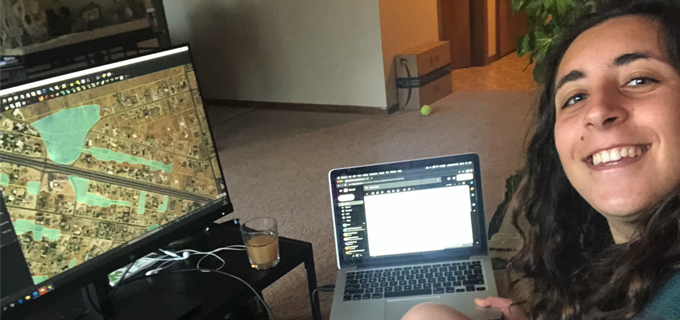
Remote Sensibility
We continue to stay positive and work hard from afar, and we’re doing our best to stay connected and keep it fun! The more we

Three Predictions for the Geospatial Industry by 2025
Anand Iyer, Quantum Spatial Sr. Vice-President of Products & Innovation, describes three developments poised to fundamentally change the geospatial sector and the way we use

Podcast: Robotics, remote sensing and facility management
Scott Nowicki, Lead R&D Scientist at Quantum Spatial, joins the latest episode of Mapscaping to discuss how robotics, coupled with remote sensing, are transforming facilities management

Quantum Spatial’s Mark Meade Appointed to National Geospatial Advisory Committee
Meade Joins Leaders Across the Industry to Advance Geospatial Data Sharing ST. PETERSBURG, Fla., April 23, 2020 /PRNewswire-PRWeb/ — Quantum Spatial, Inc., an NV5 company and the nation’s largest
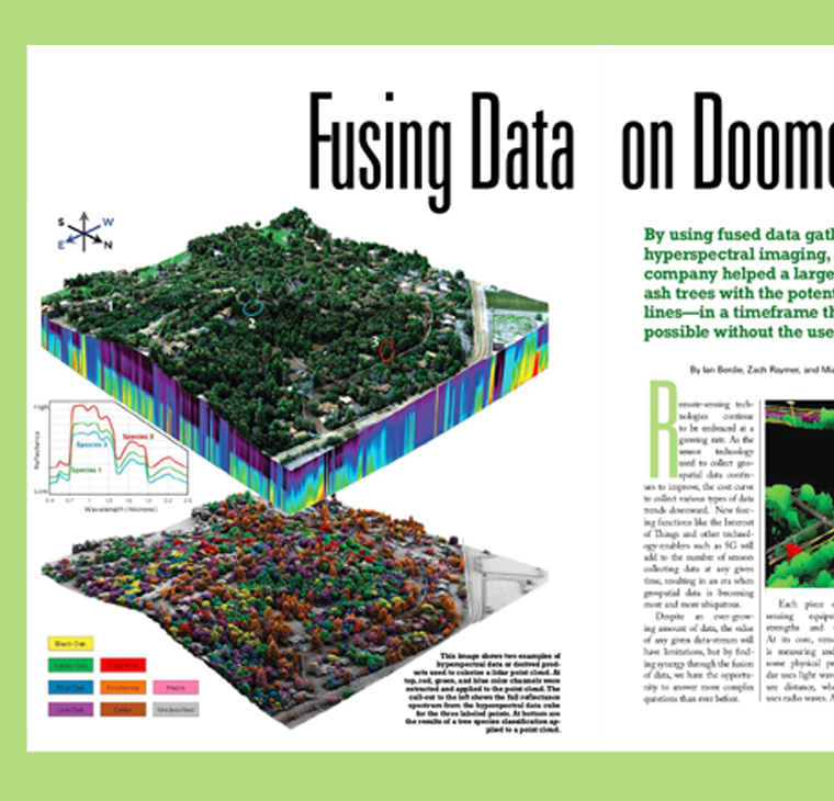
Fusing Data on Doomed Ash Trees
The emerald ash borer is decimating the ash trees across the nation, leading to large quantities of unhealthy and dead trees. In the presence of

Tips for Leading a Remote Team during Covid-19
Leading from a distance: Jeffery Skahill, Software Development Manager at Quantum Spatial, shares his tips for leading teams working remotely amid the pandemic challenges with
NV5’s Quantum Spatial Selected as a Prime Consultant on $40 Million NOAA Contract
NV5 announces contract with NOAA’s National Geodetic Survey division. Read full release HERE.