
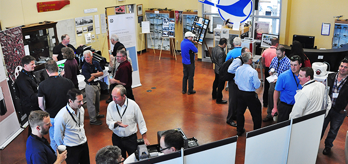
Collaboration and innovation emerge as key themes
The suitcases have been unpacked, the souvenirs put away, the business cards classified and follow up emails written. It is time to draw the curtains
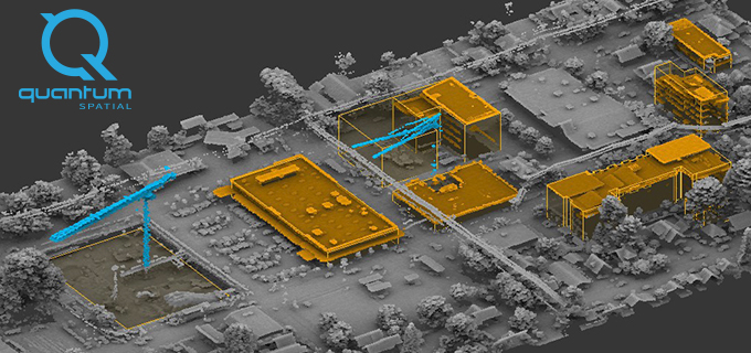
Last Chance! Go see LiDAR data as art!
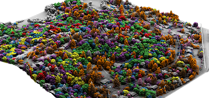
Sharita Towne, artist in residence at Newspace Center for Photography, worked with Quantum Spatial to visualize neighborhood changes using 3D LiDAR data. The final change
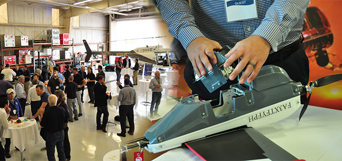
Acquisition summit, thoughts and reflections
With a total of 73 industry attendees, bringing together sensor manufacturers, their operators, and data users, the emphasis of Day 1 was put mostly on
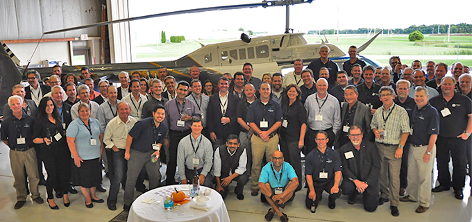
Our acquisition summit is underway!
Our first Quantum Spatial Acquisition Partner summit got off to a very successful start today. We planned for about 40 participants. In the room today,
Quantum Spatial Hosts Inaugural Technology Summit
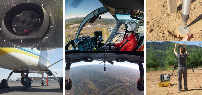
On September 20, the Quantum Spatial Remote Sensing Innovation Center will kick-off our inaugural technology summit focusing on acquisition. Seventy-three of the world’s leading geospatial
Quantum Spatial recognized as leader in geospatial industry
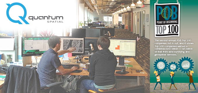
Point of Business (POB) released their list of top companies in the geospatial industry and identified Quantum Spatial in the topmost tier of businesses. Here

USGS 3DEP program makes LiDAR elevation data affordable through partnerships
Many organizations, private and public, assume that the remote sensing data they need to fulfill their mission like emergency response management, natural resource planning, urban
We went there: A look back at the ISA conference
Quantum Spatial is pleased to report that our attendance at this year’s International ISA Conference in Fort Worth, TX was a resounding success! From Sunday
We love Alaska! Caitlin shares her Anchorage experience
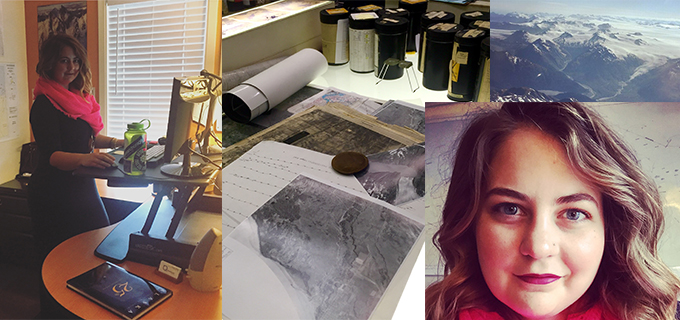
Starting on August 25, Caitlin is hosting I Love Anchorage’s instagram feed for a week. Follow along to glimpse snapshots of her daily routine on and off