

Tualatin Valley Water District Strengthens System Resilience with ArcGIS Utility Network
Tualatin Valley Water District (TVWD) is taking a data-driven approach to capital planning, using ArcGIS Utility Network and custom tracing tools developed with NV5 to

Learn About AI-Ready Asset Management In Our Trimble Unity Webinar
In today’s data-driven world, organizations managing public infrastructure, utilities, and facilities face the common issue of disconnected systems. For years, asset management meant switching between
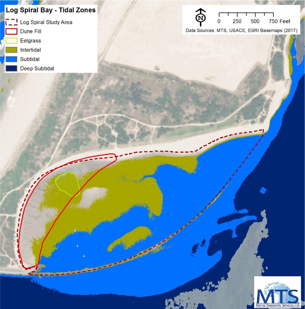
NV5 Expands West Coast Environmental Services with Marine Taxonomic Services
NV5, a leading provider of geospatial, professional and technical engineering and consulting solutions, is proud to announce the expansion of its environmental and geospatial capabilities

Orchestrating Intelligence Across Domains for a Unified Multi-Int Enterprise
In the Defense and Intelligence community, the word “stovepipes” has long described one of the greatest barriers to speed and clarity. Each intelligence discipline (e.g.,

The Path to Smarter, Connected Asset Management
Organizations everywhere are working toward AI-driven operations, but legacy and on-prem systems often stand in the way. Trimble Unity changes that. It’s not just another
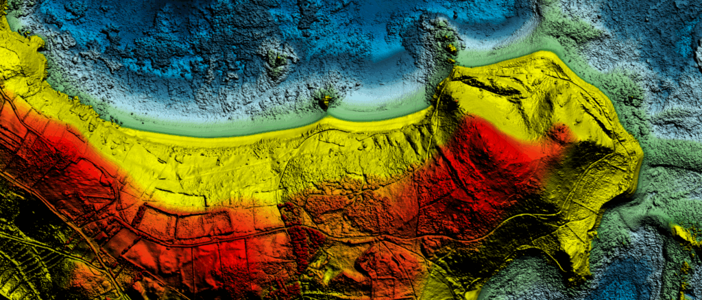
NV5 Becomes First to Deploy Hexagon’s Leica CoastalMapper, Ushering in a New Era of Coastal and Riverine Mapping
Frankfurt, Germany — NV5, a division of Acuren Corporation (the “Company” or “Acuren”, NYSE: TIC), a provider of tech-enabled engineering, certification, consulting, and geospatial solutions,

From Ship to Shore: How NV5’s Solutions are Modernizing Great Lakes Mapping
With over 5,300 miles of U.S. coastline, the Great Lakes are a cornerstone of North American commerce, ecology, and recreation. For nearly a decade, the
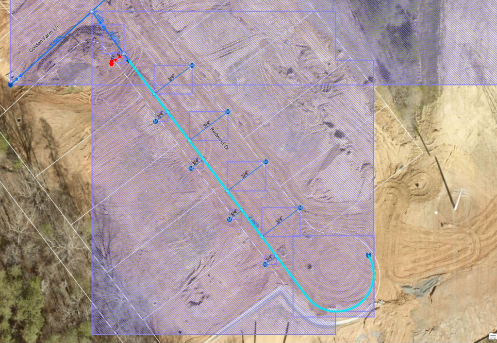
The End of Esri’s Geometric Network: Why It’s Time to Move—and How to Transition with Confidence
By Michael Parma, Senior Solutions Architect, NV5 The clock is ticking on Esri’s Geometric Network (GN), and for utilities still relying on it there are

Webinar- Navigating the ArcGIS Utility Network Journey: Planning, Progress, and What’s Next
Hi there, join us for this upcoming webinar! Wednesday, September 24 Noon ET / 11am CT With Esri’s geometric network retiring in March 2026, water utilities are