
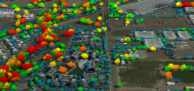
Quantum Spatial to Showcase Advanced terrestrial and bathymetric LiDAR Applications During GeoWeek
Quantum Spatial (QSI), the nation’s largest independent geospatial analytics firm, will showcase its cutting-edge applications for surveying and mapping, using high-resolution topographic and bathymetric LiDAR
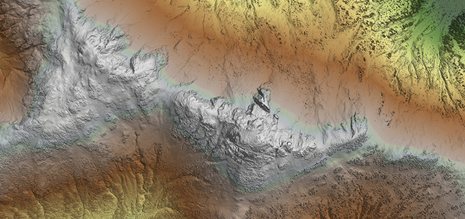
Alaska Tribes Employ LiDAR for Insights into Managing Natural Resources
Jim DePasquale, of the Nature Conservancy, shares his experiences of using LiDAR mapping technology in Alaska through the use of USGS’ 3D Elevation Program in Directions Magazine.
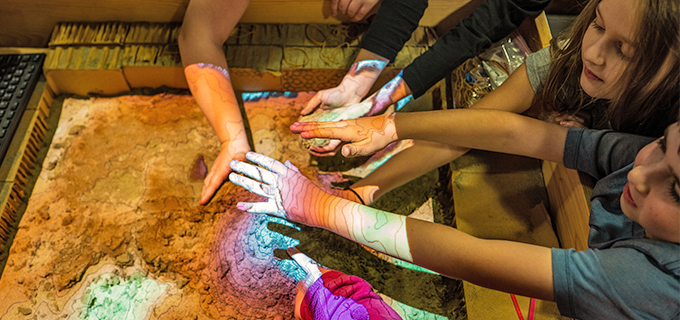
Best way to celebrate GIS day? A Quantum Spatial field trip!
Once again, Ms. Caroline Coholan’s 3rd grade class from Llewellyn Elementary School visited Quantum Spatial’s Portland office to celebrate National GIS day. Following an engaging presentation on
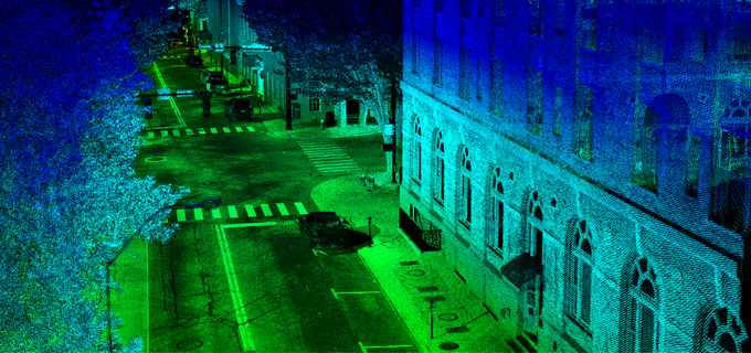
The Evolution of Remote Sensing: Delivering on the Promise of IoT
As the pace of innovation continues at a breakneck pace throughout the remote sensing industry, new applications for spatial data are emerging. Quantum Spatial’s Anand
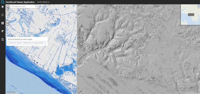
Web GIS Improves LiDAR Collection Response Time
In the latest issue of GIM International, Quantum Spatial’s Cherie Jarvis discusses the process of utilizing eGIS mapping applications in order to improve outcomes of
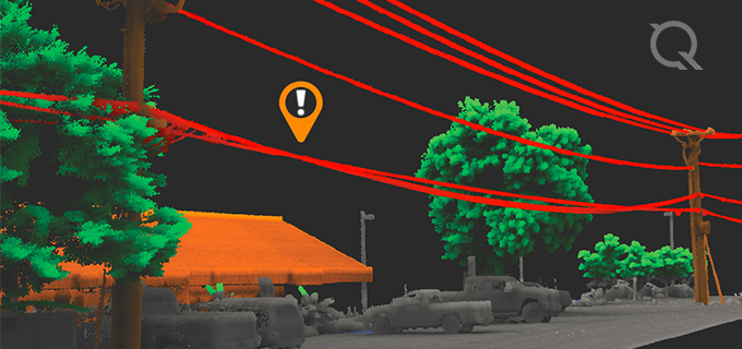
Quantum Spatial Wins Most Innovative Solution at Energy Thought Summit
Quantum Spatial, Inc. (QSI), the nation’s largest independent geospatial data firm, today announced that Quantum Spatial won Zpryme’s start@ETS pilot pitch competition for having the most

Quantum Spatial Supports Multiple LiDAR Data Acquisition Projects for USGS 3D Elevation Program
As seen on PRWeb, LiDAR Magazine, POB, and Directions Magazine: Quantum Spatial, Inc. (QSI), the nation’s largest independent geospatial data firm, announced that it is currently working on more than
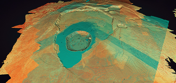
Volcanic GIS: Mapping and imaging the Kilauea eruption
LiDAR data, collected by Quantum Spatial, is proving a useful tool in mapping the volcano and lava flows on the Big Island of Hawaii. Tracy Cozzens of
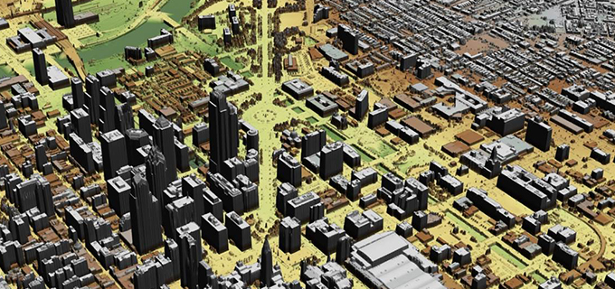
Unleash the possibilities of LiDAR in your area with a USGS 3DEP grant
Hurricanes, flooding, landslides, wildfires and erupting volcanoes- rarely a week goes by without a headline about these types of natural disasters, which result in untimely