

Navy Awards $30M GIS Surveying Contract
The U.S. Navy has awarded NAVGeo LLC a $30 million contract to provide geographic information systems, surveying and mapping services. NAVGeo is a joint venture

A New Office to Start the New Year
Quantum Spatial is pleased to announce the opening of our new office in Novato, CA, which will continue the sale of historical photo archives of
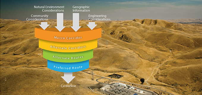
GIS-based utility siting methodology aids decision-making and improves outcomes
When siting a transmission line, electric utilities must consider many factors, including protecting the natural environment, effects on the community, engineering challenges, cost efficiency, and

Looking for a photograph?
All you need is a photograph? Quantum Spatial has that, and much more! Quantum Spatial owns a rich historical archive of aerial imagery. Our photo collection dates

Happy Holidays from Quantum Spatial!
We’d like to share one of our favorite holiday traditions – a stunning aerial photo with the yearly calendar for your computer desktop wallpaper.
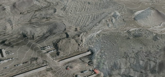
State of Utah relies on LiDAR for geological research
Quantum Spatial collected and analyzed LiDAR data for Utah’s Automated Geographic Reference Center. Government officials and researchers are using the LiDAR datasets in applications ranging

IT Service Specialist
Quantum Spatial is hiring a service specialist to provide first-rate IT support in a friendly, helpful way that builds trust and education, ensuring our teams
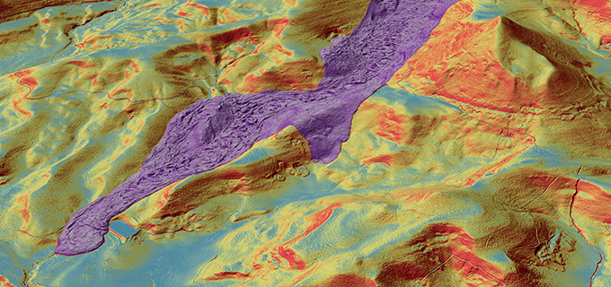
LiDAR News Publishes Quantum Spatial’s Landslide LiDAR Analytics
The cover story of the October issue of LiDAR News features Quantum Spatial’s breakthrough solutions regarding landslide mitigation efforts, and how the results generate a
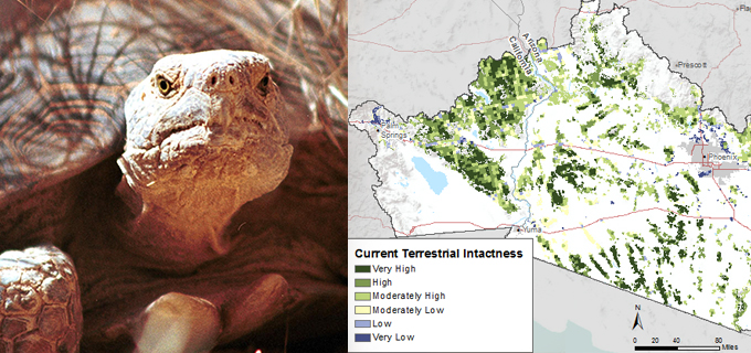
Quantum Spatial Team Recognized for Exceptional Ecological Work with BLM’s Rapid Ecoregional Assessment Program
What is the REA program? Managed by the BLM, the Rapid Ecoregional Assessment (REA) program integrates varied datasets in order to evaluate ecosystem dynamics, habitat