
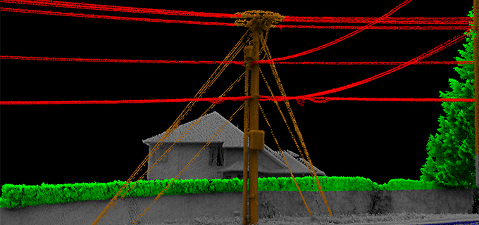
Spatial Data Across the Enterprise: Tackling Digitalization
Quantum Spatial, Inc. (QSI), the nation’s largest independent geospatial data firm, today announced that Anand Iyer, Ph.D., Senior Vice President, Products & Marketing at QSI,
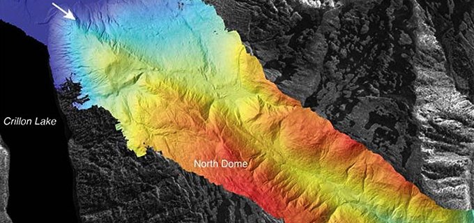
To map and to manage: lidar in Alaska
photo: Lidar image of Fairweather Fault, Alaska. Kate Scharer, USGS Dept of the Interior Lidar mapping and analytics continue to reveal new geographical insights. Reshawna
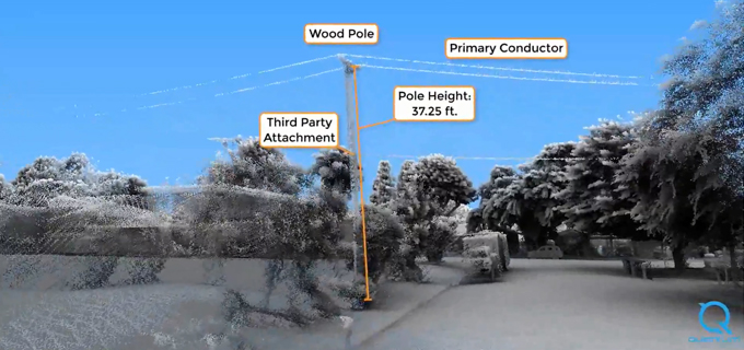
Beyond transmission: How remote sensing speeds inspection and management of distribution networks
Keeping the proverbial lights on is no small task. Electric utilities go to great lengths to ensure safe, reliable energy. Maintaining the distribution network in
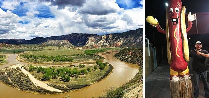
Learn about surveyor life from Scott, one of Quantum Spatial’s dedicated professionals
In celebration of National Surveyors Week, we’re spotlighting some of our dedicated surveyors and sharing their insights of a survey career. If you are interested
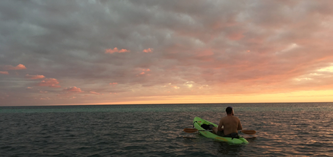
Meet Andre, Quantum Spatial Sr Geodetic Analyst!
In celebration of National Surveyors Week, we’re spotlighting some of our dedicated surveyors and sharing their insights of a survey career. If you are interested
7 tools for remote Agile development teams to streamline their projects
As Quantum Spatial’s eGIS Practice Lead, Cherie Jarvis has managed Agile development teams comprised of team members lively all across the Unitied States. In SD Times, she

Geospatial data is a foundation of the digital economy
Hosted by DM radio, Quantum Spatial’s Anand Iyer participates in a panel discussion about companies that harness big data to provide solutions to wide-ranging real-world challenges.
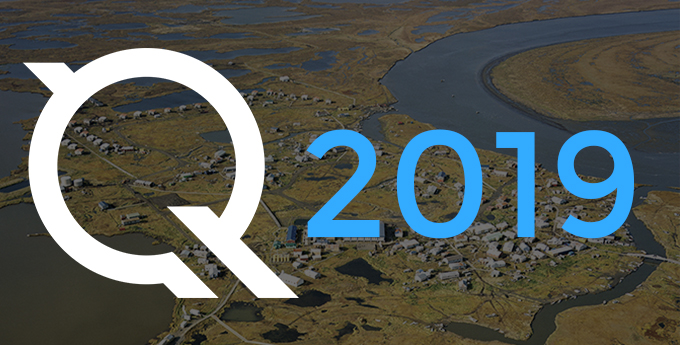
Our 2019 Calendar is available for download
The new year is here, have a downloadable desktop calendar that showcases an amazing view of Kipnuk, Alaska. There are two different image sizes to accommodate variation
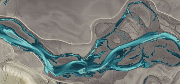
Quantum Spatial Wins Two Prestigious MAPPS Excellence Awards
ST. PETERSBURG, Fla., Jan. 29, 2019 (GLOBE NEWSWIRE) — Quantum Spatial, Inc. (QSI), the nation’s largest independent geospatial data firm, this week was presented with two MAPPS