
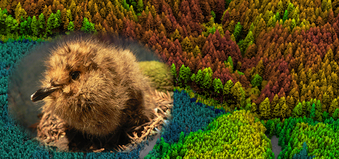
LiDAR aids conservation efforts for the threatened marbled murrelet!
It’s so exciting to see Quantum Spatial’s LiDAR data come to fruition in helping wildlife biologists and forest managers better understand coastal old-growth canopy structure
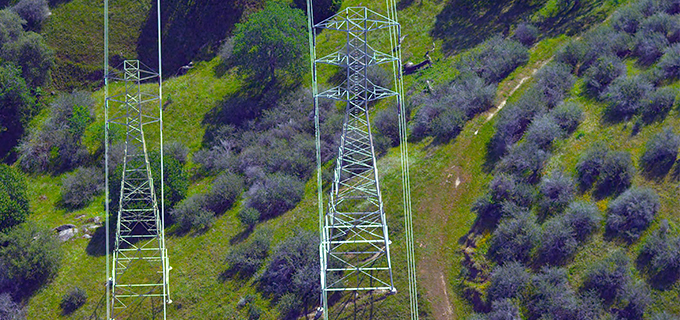
Know the Risk! Our tech & analytics deliver a clear view of geologic hazards
Quantum Spatial’s remote sensing analytics provide unparalleled insight into geologic hazard identification and mitigation. Advancing technologies like LiDAR, thermal sensing, and multi-spectral imaging allow us to
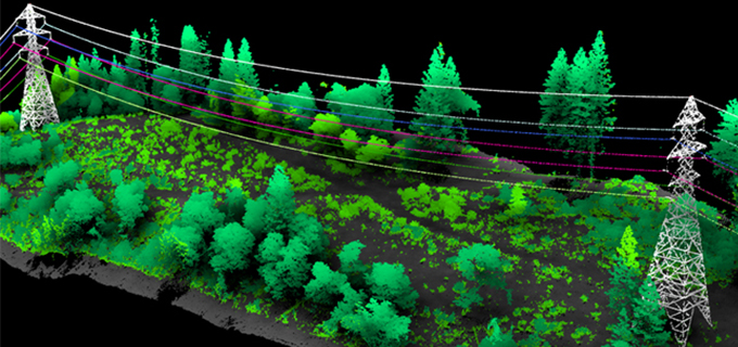
Quantum Spatial at the International ISA Conference
In just a few days Quantum Spatial will land in Fort Worth, Texas for the International Society of Arboriculture Conference and Trade Show (ISA). We will be
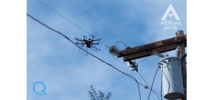
Aerial MOB and Quantum Spatial Announce Strategic Alliance
Aerial MOB, LLC, a leader in UAS (drone) aerial technology applications, has reached a strategic partnership agreement with Quantum Spatial Inc. (QSI), a leading supplier

Download the Quantum Spatial 2016 Desktop Wallpaper
We’d like to share one of our favorite traditions – a stunning aerial photo for your computer as a desktop wallpaper. About This Image Denali
Quantum Spatial Serves as Bronze Sponsor of LASzip
Quantum Spatial is pleased to announce that the company will serve as a bronze sponsor to LASzip in LiDAR. As a sponsor, we will contribute

Quantum Spatial Featured in the News for USGS Glacier Peak Project
Quantum Spatial is currently mapping Glacier Peak for the U.S. Geological Survey’s 3DEP program and was featured in a news story from KIRO 7 in
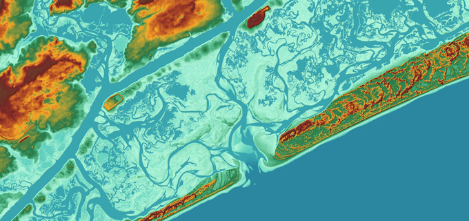
NOAA Supplemental Sandy Topobathy LiDAR and Imagery project recognized with LCDR Peter Johnson Best Practices Award
The NOAA Sandy Supplemental Sandy Topobathy LiDAR and Imagery project was recognized has been recognized with the LCDR Peter Johnson Best Practices Award at the
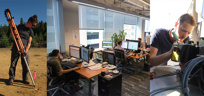
We’re growing! Join us at our hiring open house
Quantum Spatial is hiring geospatial professionals for both short-term and long-term opportunities. We are looking for talented individuals to join both our office and field