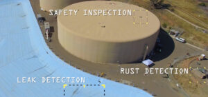
With our specialized sensors, we can detect water leaks underground!
Quantum Spatial scientists have created a drone-mounted, custom sensor package that has the ability to detect underground leaks as well as other safety concerns such

Quantum Spatial scientists have created a drone-mounted, custom sensor package that has the ability to detect underground leaks as well as other safety concerns such
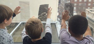
To commemorate National GIS Day, Ms. Caroline Coholan’s 3rd grade class, from Llewellyn Elementary School, visited the Portland office for some hands-on experience in geography.
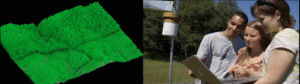
Professional scientists and students at Sonoma State University are implementing LiDAR data and other geospatial analytics to aid research and education in their environmental program.

Quantum Spatial, Inc., the nation’s largest independent geospatial data firm, today announced the appointment of Drew Meren to lead the Atlantic region, focusing on state
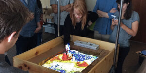
Well, if you can’t make it to the beach, bring the beach to the office. Quantum Spatial’s Willy Sercombe and Harry Zhang did just that.
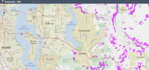
In response to the deadly Oso Landslide of 2014, government agencies have been working diligently to update landslide hazard analysis. Because LiDAR data can map
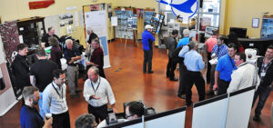
The suitcases have been unpacked, the souvenirs put away, the business cards classified and follow up emails written. It is time to draw the curtains
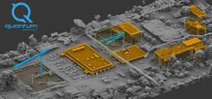
Sharita Towne, artist in residence at Newspace Center for Photography, worked with Quantum Spatial to visualize neighborhood changes using 3D LiDAR data. The final change
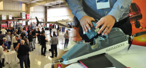
With a total of 73 industry attendees, bringing together sensor manufacturers, their operators, and data users, the emphasis of Day 1 was put mostly on
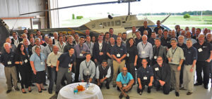
Our first Quantum Spatial Acquisition Partner summit got off to a very successful start today. We planned for about 40 participants. In the room today,