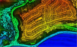
NV5 and USGS Release High Resolution Lidar Data of Palisades Fire and Eaton Fire Burn Areas to the Public
Lidar data collected by NV5 can help quantify fire damage, identify areas at risk of debris flows or flooding, and guide restoration efforts. LOS ANGELES,