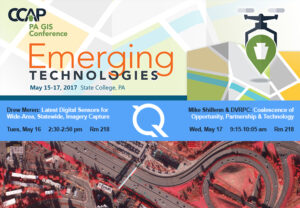
Quantum Spatial presents at PA GIS Conference
We’re excited to attend the PA GIS Conference, from May 15-17. We’re looking forward to learn more about emerging technologies across the industry as well as

We’re excited to attend the PA GIS Conference, from May 15-17. We’re looking forward to learn more about emerging technologies across the industry as well as

We had a busy year in 2016, collecting, processing, and analyzing a wide variety of data across all 50 states and applied to a diverse
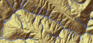
By Tarika Hanawalt While many governments and organizations use the geospatial data we provide, what the public sees is often just a detailed map or
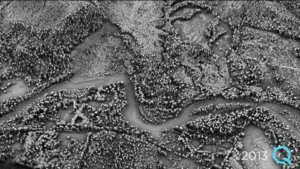
By Kurt Allen, Quantum Spatial Vice President Federal Vertical Lead After witnessing firsthand the devastation landslides cause across a number of states, including Alaska, California and Washington,

Written by Steve Raber, Quantum Spatial Senior Program Manager April 20th marks the day when, seven years ago, BP’s offshore drilling rig Deepwater Horizon suffered
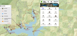
Quantum Spatial, Inc., the nation’s largest independent geospatial data firm, has worked with the U.S. Forest Service to continually improve its Interactive Visitor Map over the past
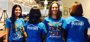
The Quantum Spatial team had an absolute blast hosting PDX Women in Tech for Visualizing the World in 3D. The lively crowd of over 70 attendees
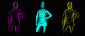
On April 5th, Quantum Spatial is hosting PDX Women in Technology! Our experts will discuss a variety of technologies and applications related to the remote
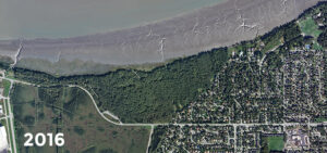
Quantum Spatial owns a rich collectioin of aerial imagery and other remote sensing data. Learn more HERE March 27th marks the anniversary of the world’s second most
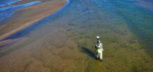
In celebration of National Surveyors Week, we’re spotlighting some of our dedicated surveyors and sharing their insights of a survey career. If you are interested