We went there: A look back at the ISA conference

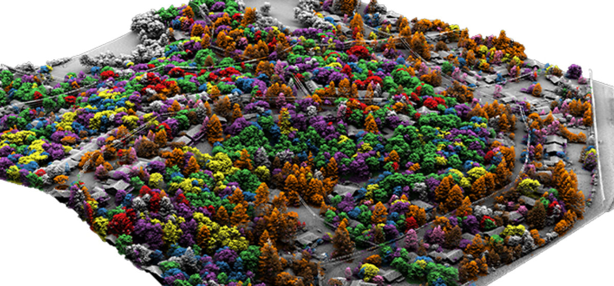
Quantum Spatial is pleased to report that our attendance at this year’s International ISA Conference in Fort Worth, TX was a resounding success! From Sunday to through Tuesday we engaged with the best and the brightest in the utility arborist industry on the trade show floor. After hours, we were fortunate to have the pleasure of meeting with many of our most trusted clients in lovely downtown Fort Worth.  Our vegetation analytics for utility management was a popular discussion topic, and not unsurprisingly, many of the utilities that stopped by the QSI booth were very interested in our ability to identify tree species through remote sensing.  We also provided demos of our software application, which provides a platform to manage vegetation programs, assess risk, and perform work.

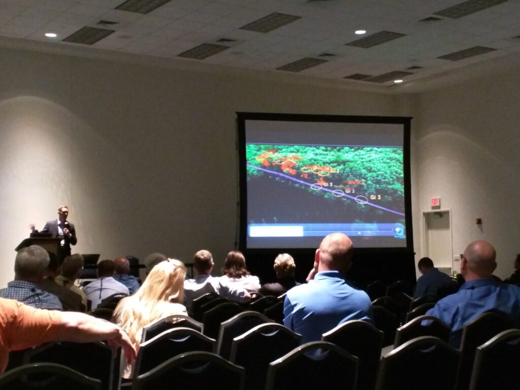
Among many enlightening presentations, “Going Live With LiDAR: Redefining Traditional Inspections” by Eric Woodyard and Brian Biancardi of Pacific Gas and Electric, proved particularly innovative. Essentially, PG&E is embarking on a revolutionary new strategy that leverages the powerful analytic information derived from remote sensing data to drive their vegetation management practices. PG&E imagines a future in which utility arborists harness specific analytics such as radial distance to wire, potential for fall-in wire strike, and specific species information to conduct their routine tree trimming work. All of the quantitative analytics mentioned, plus many more, will be served to utility arborists on rugged tablets for instant, informed decision making.

PG&E has yet to realize all of their programmatic goals, but based on the presentation, they are well on their way and seem to have considerable momentum. Current benefits of scale to PG&E’s vegetation management program include the following:

Driving down the units (trees) worked every year

Reduce unnecessary tree work with empirical data

Drive down costs

Increase operational efficiency by not sending out “boots on the ground” where no work needed

Data is scalable internally to all program stakeholders

Drive up customer satisfaction

Schedule optimization and electronic notification

Drive up compliance scores

Currently, PG&E is at 99.5% or better meaning 50,000 trees could be out of compliance, any one of them a possible ignition source for wildfire

QA/QC data at their fingertips

Drive up Safety

Reduced exposure to those in the field

Utility arborists and vegetation program managers alike will surely want to keep up to date on PG&E’s progress with LiDAR analytics and virtualized inspections in the future.

Quantum Spatial looks forward to next year’s International ISA Conference in Washington DC as well as the return of the “Trees and Utilities” Conference hosted by the Utility Arborist Association, to be held in Kansas City, MO. See you there in 2017!

Fill out the form below to download the handbook.

Form #1 - Redirection to PDF

Form #2 - Sends email containing the link to the PDF

"*" indicates required fields

This field is for validation purposes and should be left unchanged.

eNewsletter - NV5 Real Estate Transaction Services

Contact NV5 Real Estate Transaction Services

Download NV5 2022 Compliance Calendar

Please fill out the form below. After successful form submission, you will be redirected to the requested file. Thank you.

  • We are an equal opportunity employer. All applicants will be considered for employment without attention to race, color, religion, sex, sexual orientation, gender identity, national origin, veteran or disability status. We ensure nondiscrimination in all programs and activities in accordance with Title VI of the United States Civil Rights Act of 1964. If you need more information or special assistance for persons with disabilities or limited English proficiency, contact MaryJo OBrien at (954) 495-2112. Persons with hearing-and speech-impairments can contact the NV5 by using the Virginia Relay Service, a toll-free telecommunication device for the deaf (TDD). Call 711 for TTY/TDD.

Hyperspectral Imaging - Technically Speaking

Our internal innovation and development team constantly analyzes new technology and develops solutions to meet our client’s challenges. Our Technically Speaking series is one way we share our technical findings with the professional community. 

Please tell us a little about yourself by filling out the form below, and we’ll share the document with you, thanks!

Accuracy Part 1- Technically Speaking

Our internal innovation and development team constantly analyzes new technology and develops solutions to meet our client’s challenges. Our Technically Speaking series is one way we share our technical findings with the professional community. 

Please tell us a little about yourself by filling out the form below, and we’ll share the document with you, thanks!

Prune Optimization Webinar Recording

NV5 Geospatial releases a new predictive modeling platform for vegetation management that uses existing lidar and historical data to identify the relative level of asset risk from trees by quantifying the potential for causing asset damage. 

Please tell us a little about yourself by filling out the form below, and we’ll share the document with you, thanks!

Topobathy Lidar - Technically Speaking

Our internal innovation and development team constantly analyzes new technology and develops solutions to meet our client’s challenges. Our Technically Speaking series is one way we share our technical findings with the professional community. 

Please tell us a little about yourself by filling out the form below, and we’ll share the document with you, thanks!

Contact Geospatial

Contact Geospatial